
Three Capes Track (day 2): Surveyors to Munro via Arthur’s Peak
Last Updated on 17 April 2026
After a relaxed first day on the Three Capes Track, we are all eager for what promises to be another spectacularly scenic walk up and over Arthur’s Peak, through the Ellarwey Valley, and out towards Munro Bight.
In addition to getting a closer look at the incredible dolerite columns that make the Tasman Peninsula so unique, we also dive deeper into our Closer Encounters book to learn about the endemic wildlife, impressive natural phenomena, and history of this magical region. With every step, I love this hike more and more.
>>> Read my complete planning guide for Tasmania’s Three Capes Track
Trail stats: Surveyors to Munro via Arthur’s Peak
- Distance: 11km
- Trail hours: 3.75hrs, including 10 “storyseats”
- Highlights: Stunning views of Crescent Bay and Cape Raoul from Arthur’s Peak; lush eucalypt forests and rainforests; echidnas rustling around in the bushes; sea cliffs of Munro Bight and distant Cape Hauy
- Lunch spot: Ellarwey Valley
- Campsite: Munro Hut

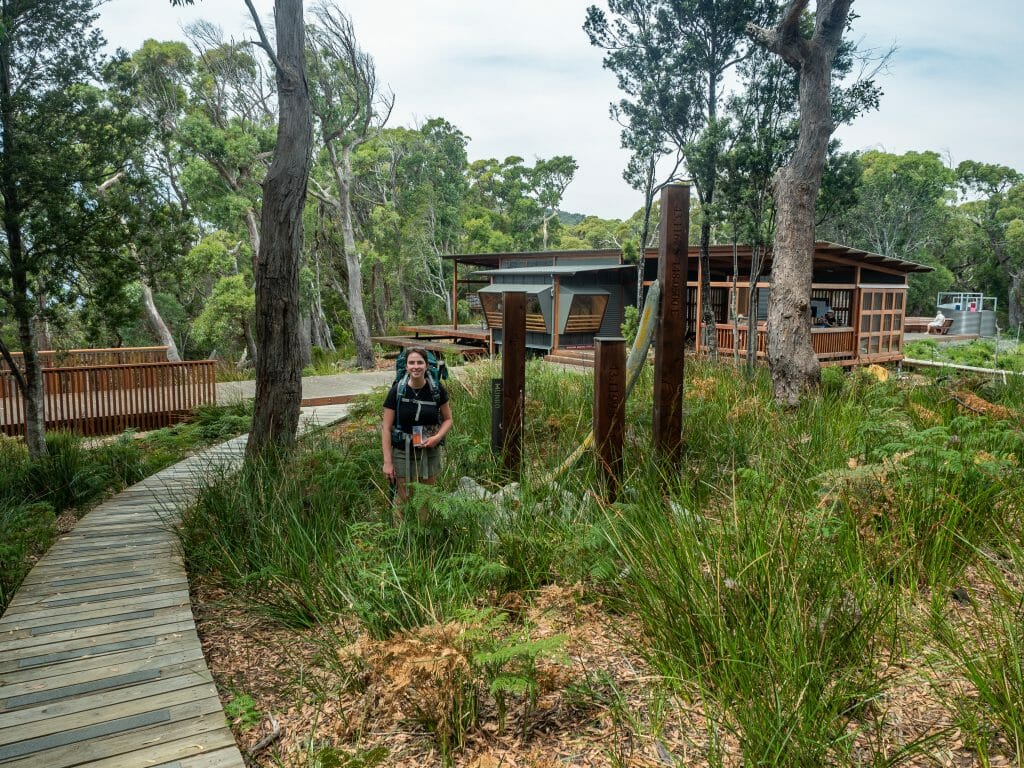
After a beautiful night’s sleep on the heavily cushioned bunks at Surveyors Hut and a quick breakfast of mountain burritos, Cal and I hit the trail, courteously leaving dad and Eileen to tidy up the bunkroom behind us.
Not long into our flat walk on a gentle gravel trail, we reach our first storyseat of the morning and read about the incredible revamp of the Port Arthur area from a “once dreaded and most vile spot” to one associated with unmatched coastal beauty and outdoor adventure. After spending a very full day prior to our hike exploring the historic penitentiary and surrounds, we too have seen how this area was transformed from a place of horror and hardship into the wilderness paradise that we are now exploring.
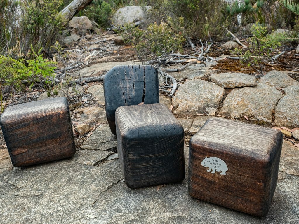
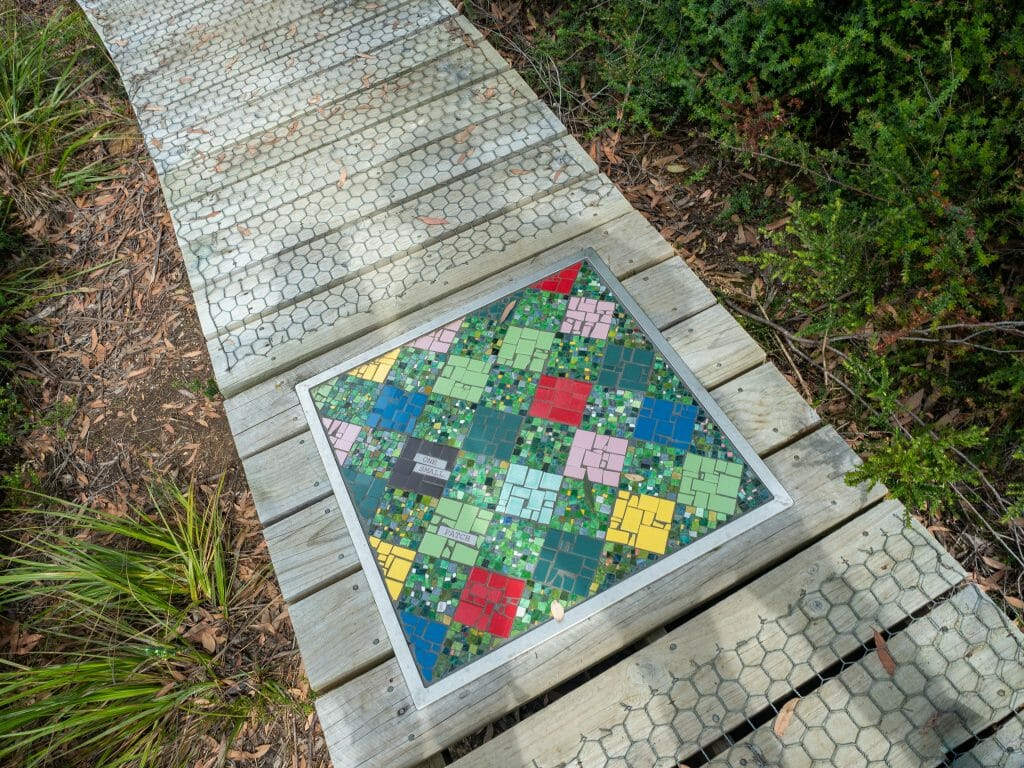
As we continue the ascent towards Arthur’s Peak, we stop at another three storyseats, the first of which has been modelled after giant cuboid wombat poos. Here, we learn how to identify different types of local critters from their scat (which now means that I’m stopping to inspect every visible dropping for the rest of the hike in the hopes of finding some Tassie Devils).
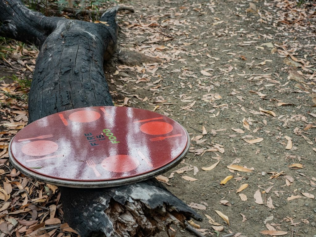
Next, we explore the complex and often beneficial relationship between bush and fire, which is something I have only recently come to understand after a trip down the South Coast of NSW.
A devastating bushfire had recently breezed through the area, but amazingly, the bush regenerated larger and healthier than ever. A biologist who was also in the area doing some weekend sightseeing explained to me that many Australian plants, including prolific banksia trees, only release seeds when burned, which means that fire is essential to the propagation of the species. Not only that, but the ash from burnt bark and leaves creates nutrient-rich soil that can promote germination and regeneration of neighbouring plants. Incredibly, fire really is essential to life!
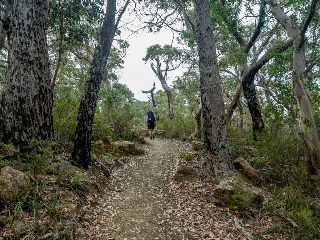
As we continue our walk, we see blackened trunks on many of the eucalyptus trees, remnants of a 2003 bushfire here, and then stop to read about the diversity of this “messy” bush. The English who first settled this area described the admittedly disheveled gums as “unsightly”, finding the branches and their long shaggy strips of dead bark to be a far cry from the ornamental timber available in England. Yet, ecologists see something entirely different in our Australian bush— a complex and diverse system that supports everything from lichens to wallabies.
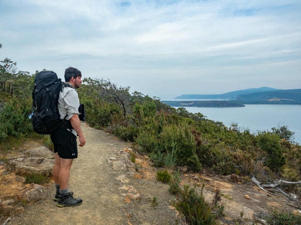
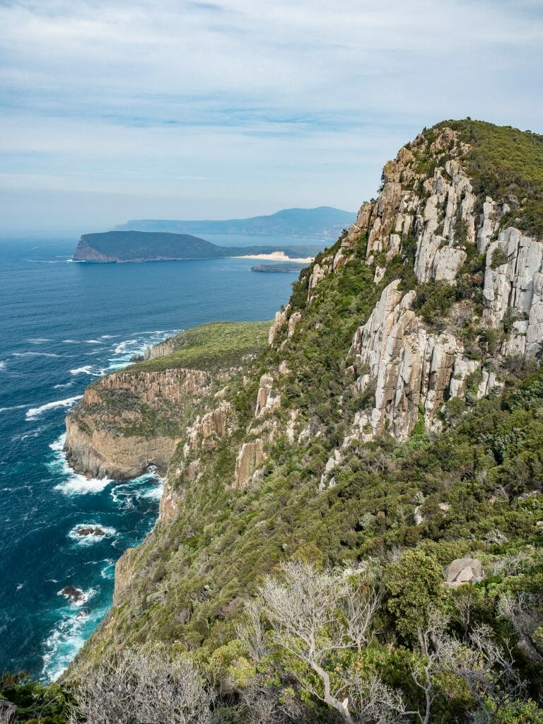
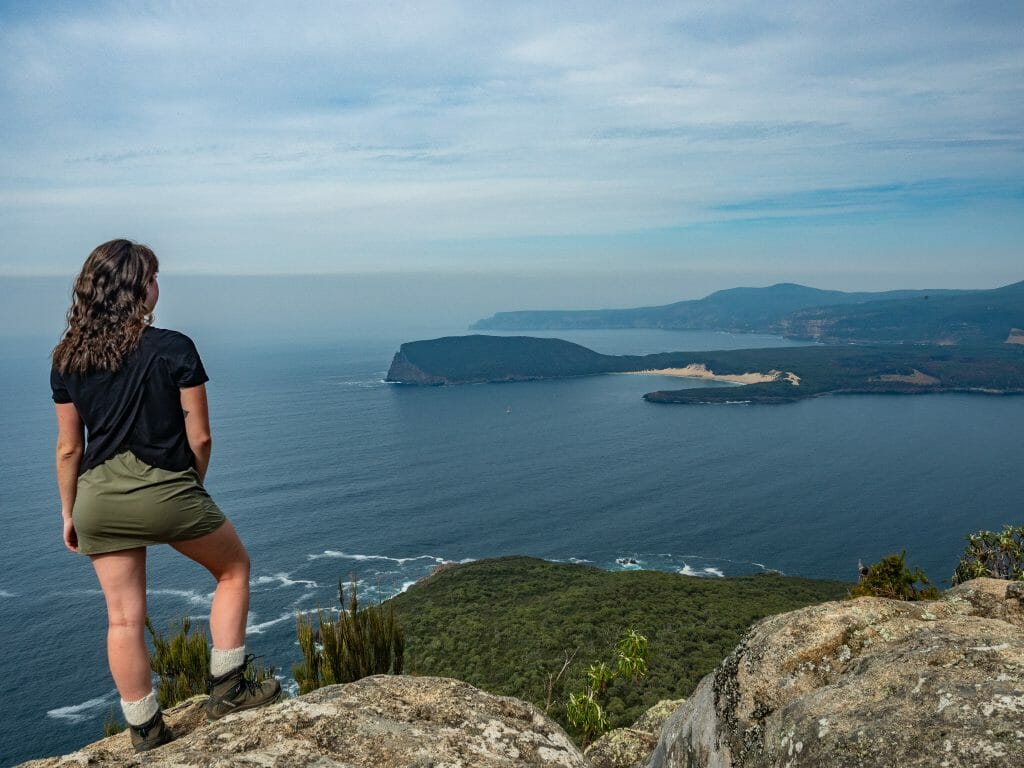
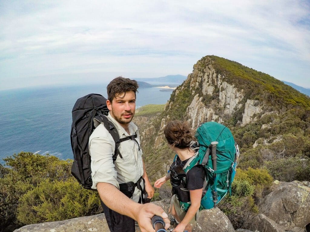
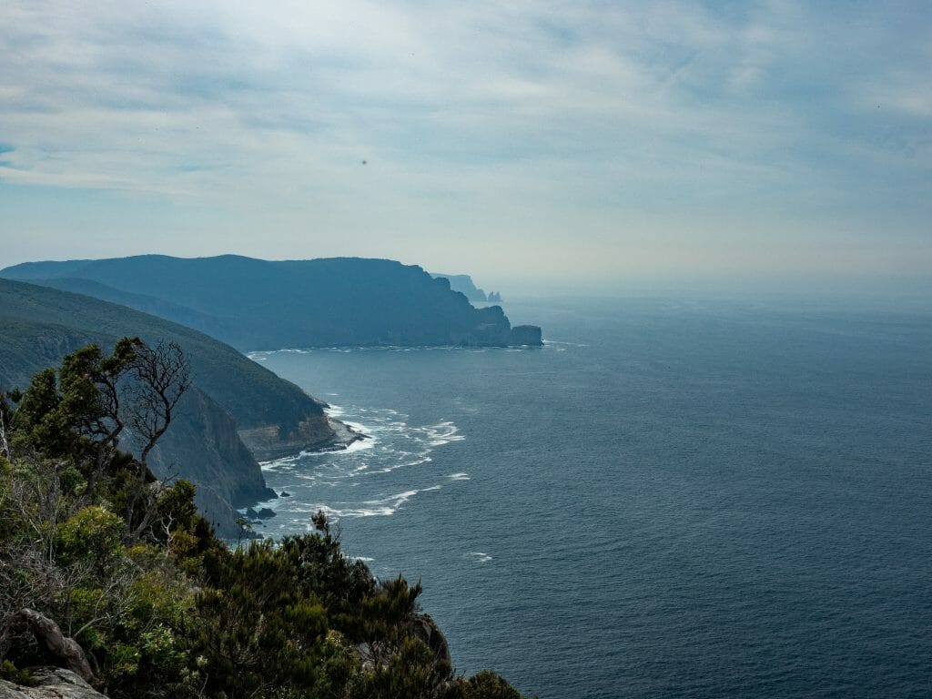
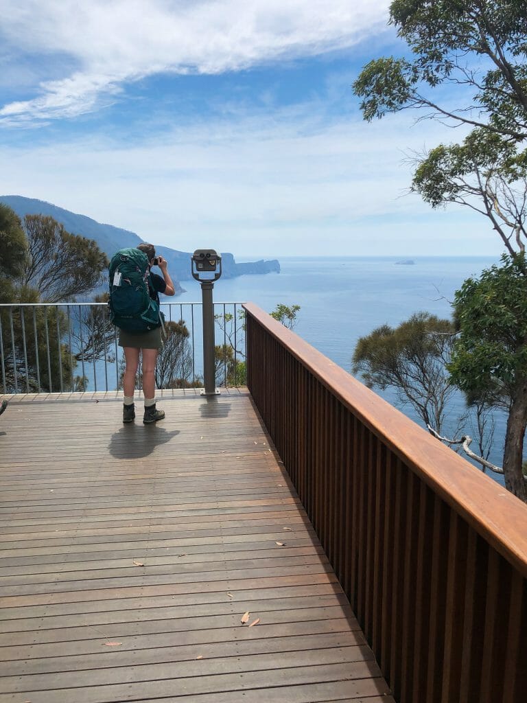
Finally atop Arthur’s Peak, and with a bit of sweat to show for it, we take off our packs and enjoy the incredible views of Crescent Bay below and Cape Raoul in the distance. Only about one-third of the way through today’s walk, though, we soon get back on the trail. Skirting the south side of Crescent Mountain, we pass another storyseat that leads us to a beautiful rocky ledge looking directly onto the towering dolerite columns of Arthur’s Peak.
Derived from the Greek word for “deceptive”, even my geologist father initially mistook many of these dolerite features for hexagonal basalt columns from a distance. Recognising them up close, however, he explained how fractures were formed in sedimentary rock 50km below the earth’s surface as the supercontinent separated some 160 million years ago.
Under considerable pressure, magma was then forced up through these vertical and horizontal cracks such that the dolerite was “inter-fingered” with the Triassic sedimentary rocks. As the dolerite cooled and contracted, vertical stress fractures were formed, but more haphazardly than the neat hexagons characteristic of basalt.
What we now see surrounding much of the Tasman Peninsula, after millions of years of sedimentary erosion, is “myriad polygonal columns” (his words)— essentially a heap of irregular rock columns rising 300m out of the rough Tasman Sea to create one of Tasmania’s most dramatic and awe-inspiring landscapes.

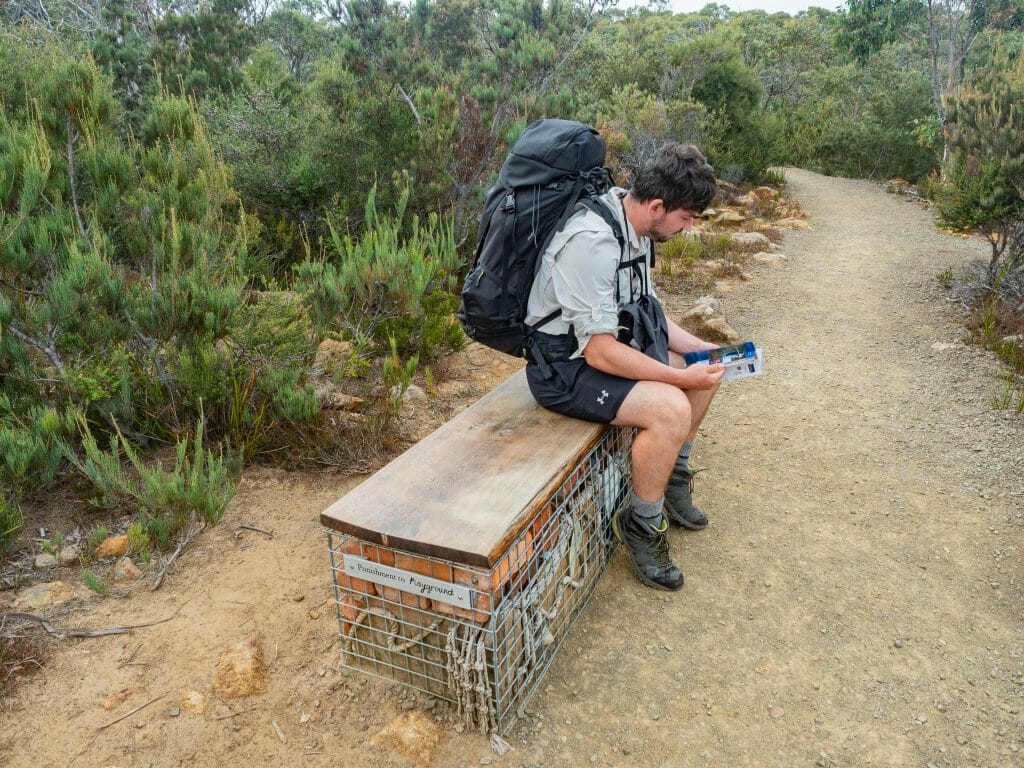
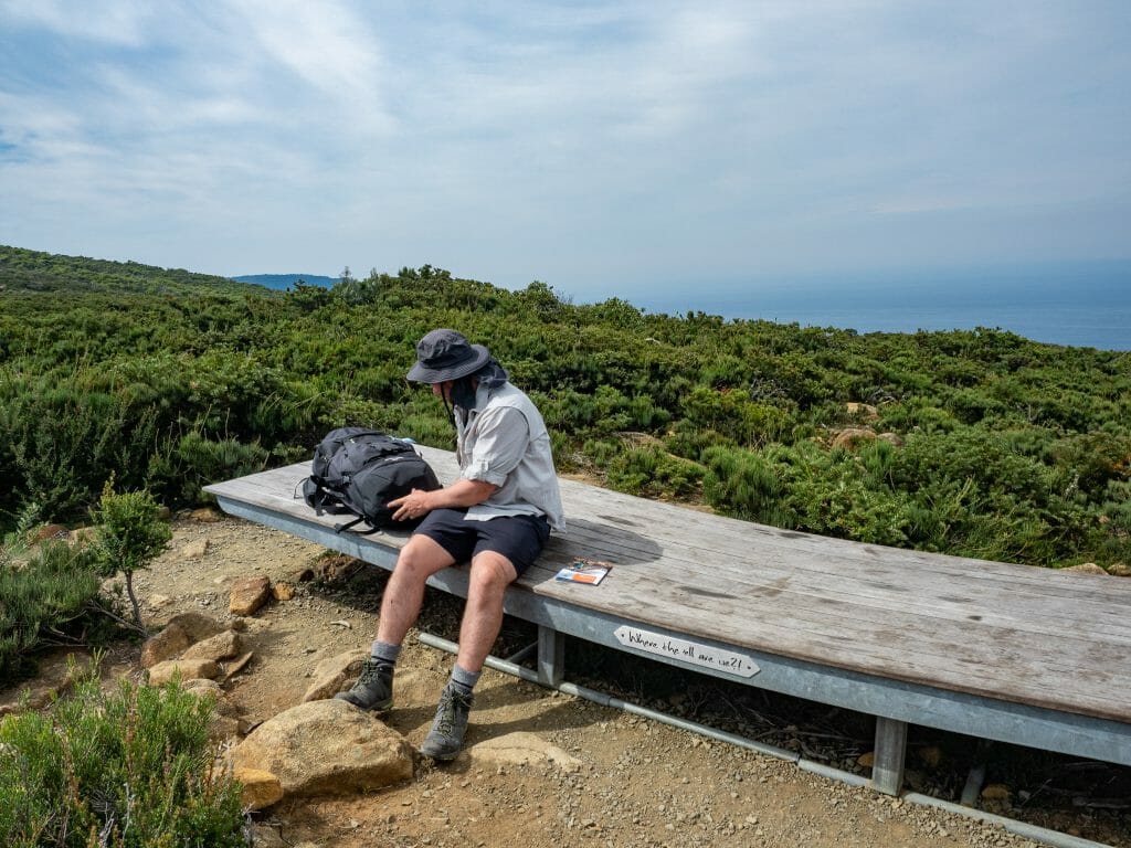
After a few storyseats examining the fungi of the cloud forest and the local flora, our trail levels out across the Ellarwey Valley, an open expanse of wind-whipped coastal heath. There’s a wonderful, large storyseat where several hikers are already perched, and we join for a bit of lunch.
Pulling out our sausages and some Gatorade, I read another of our stories, this one featuring excerpts from a 1965 trip report written by two prominent hikers from the Hobart Walking Club. Tim Christie and Reg Williams were some of the first walkers to bush-bash their way from Fortescue Bay to Cape Pillar, giving names to many of the previously undocumented locations as they went, the most notable being “Where-the-freaking-hell-are-we Ridge”, which inspired the official naming of (where the freaking) Ellarwey Valley!
Tim and Reg’s literal trail-blazing of this area not only accounts for many of the names we see on our map today, but it also paved the way for many generations of bushwalkers to explore this beautiful part of the Tasman Peninsula. The trail may have changed since Tim and Reg first battled overgrown banksia and sheoak to reach the Cape, but the stunning coastline and rich geology of the area still exert the same intense magnetism over hikers, drawing thousands of visitors to the area every year.
From our lunchtime perch, we are easily over half-way to Munro Hut, possibly even farther. Given the increasing temperature, this is great news, but also further incentive to arrive at the hut and enjoy our mountain shower(!!).
Leaving our comfortable bench behind, we blaze onwards, gently climbing (so much so that we hardly notice the incline) up to Tornado Ridge. Before long, we come to a beautiful wooden storyseat just off the trail and stop to read about how various Tasmanian animals rear their young in a variety of burrows and each with a unique parenting style.
Both wombats and echidnas, for instance, are raised solely by their mums. While baby wombats live in mum’s pouch for 6 months after being birthed into a burrow, baby echidnas (puggles) are laid as eggs in their mum’s pouch, incubated for 10 days until hatching, and then kept safe in a burrow for 8 months before setting out on their own.
Differently still, Eastern Quolls, adorable little marsupials that we saw at Devils @ Cradle a few weeks ago, are born into a litter of 30 babies, with only the toughest 6 babies (those who make it to mum’s 6 teats for food) surviving. Despite the fact that it isn’t mating or birthing season, I am now intent on spotting baby animals, excitedly investigating any rustle in the bushes (with always turns out to be a lizard or a snake).

The day flying by as we read all about animals, rocks, and the unique Tasmanian ecosystem, we quickly pass the track junction (with one trail leading off to tomorrow night’s Retakunna Hut). From here, the sign indicates 1hr to Munro Hut, but we know from Ranger Jess that we will be able to walk it much quicker than that.
After washing our boots at the station and enjoying our final storyseat of the day to learn about native birdlife, it’s a 30 minute downhill walk to our hut. Even stopping at every single storyseat to read from our book, and taking our packs off to better enjoy several of these, we make it to the end of today’s walk in well under 4 hours.
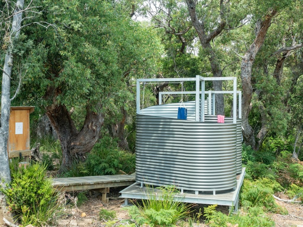
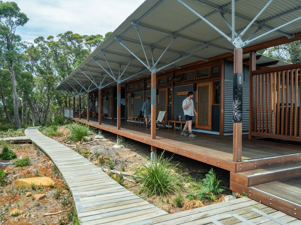
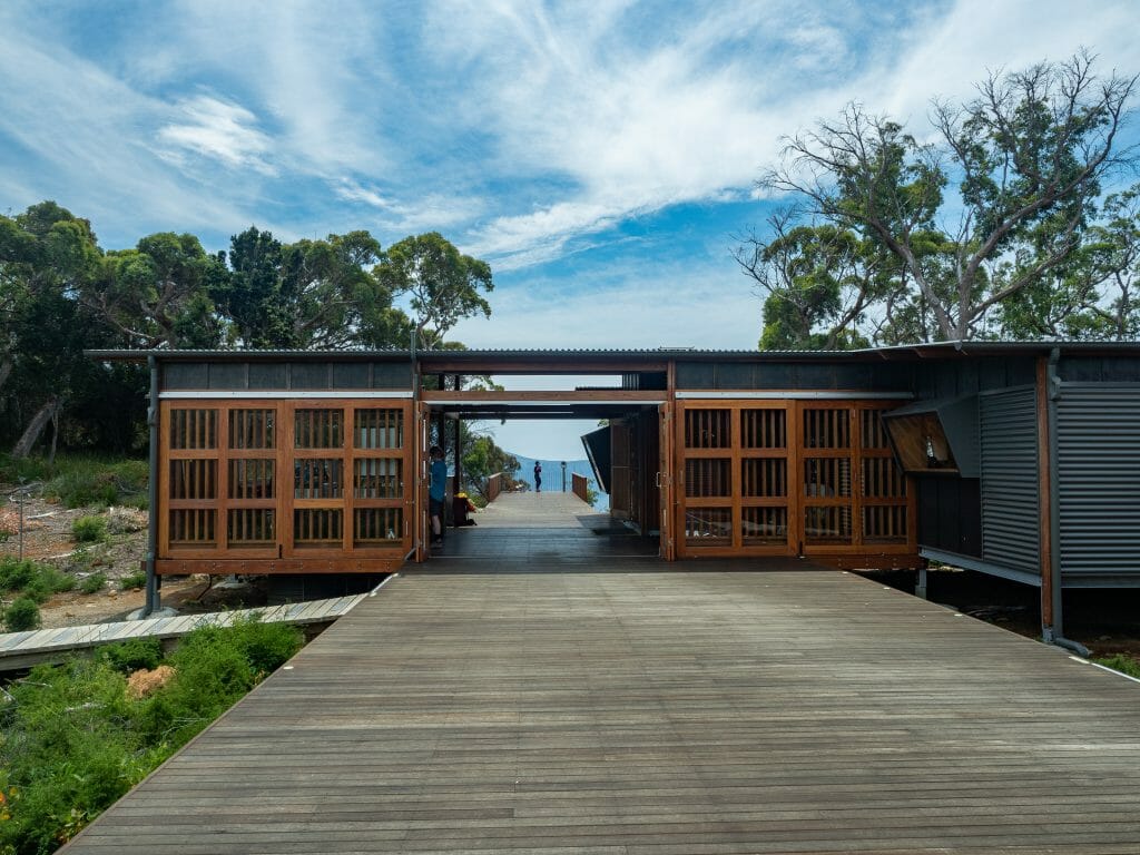
We head straight to bunkroom 3, our assigned room for the duration of the hike, to strip out of our sweaty socks and hop into the shower queue. Munro Hut itself is every bit as beautiful as Surveyors with the large glass windows and endless timber decking, but also has the added excitement of two corrugated iron scrolls at the far side, which serve as bush showers for all the sweaty hikers passing through.
I use a heated tap to fill a bucket of hot water for myself, carrying it inside and emptying it into a large plastic bag, which I then hoist above my head and set to lightly drizzle from a shower tap. It feels wonderful to rinse off after a hot day on the trail, and the whole operation is ingenious both in its simplicity and its luxury.
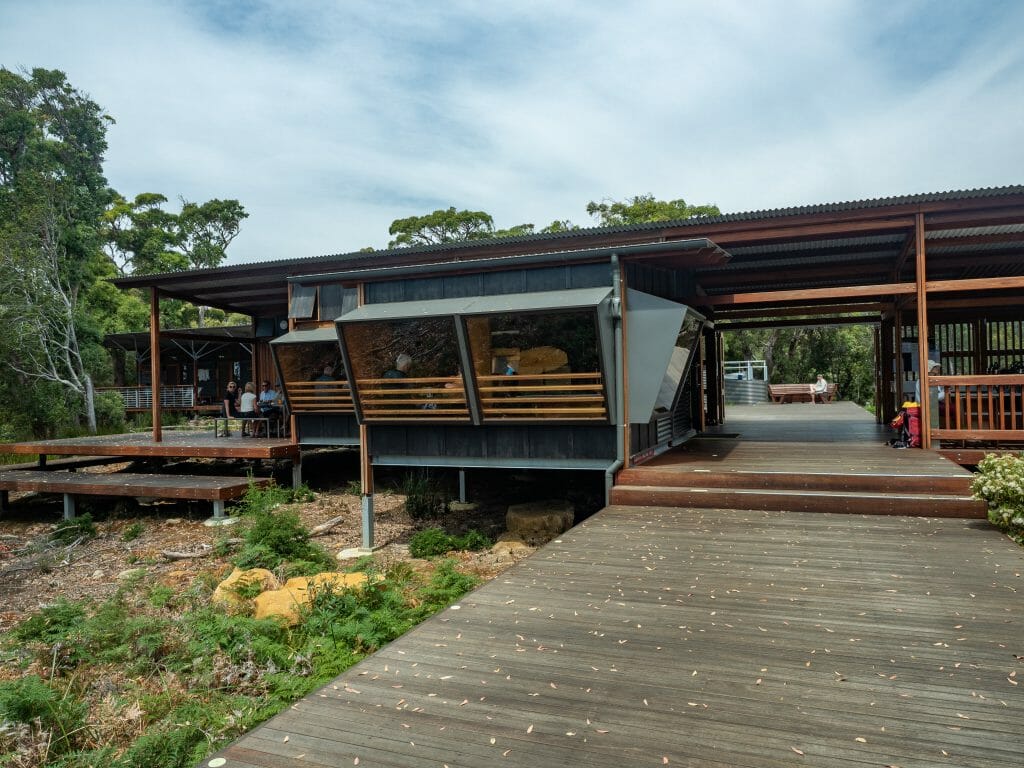
After showering, Cal and I hit the kitchen to dig into a larger helping of lunch, play a game of chess, and relax while we wait for dad and Eileen to arrive. The afternoon passes quickly and it’s not long before we are set up on an outside table, passing wine around and swapping stories of our day. On the menu tonight is margarita pizza, rustic skillet bread, and bolognese, all of which are absolutely delicious.
After our meal, Ranger Nick gives an informative talk about tomorrow’s walk, warning of 75km/hr winds and morning rain, but also providing some interesting track trivia. Yawning through what genuinely was an interesting talk, we slip off to bed before it’s even dark out (although it has now descended well into darkness as I write this from my bunk). I suppose my final thoughts of the day will be wishing for clear weather so that we can enjoy the sweeping views along tomorrow’s walk to Cape Pillar, possibly the highlight of the entire walk. Here’s to hoping.

Read all of my trail journals from Three Capes Track
Three Capes Track (day 1): Denmans Cove to Surveyors
Three Capes Track (day 2): Surveyors to Munro via Arthur’s Peak
Three Capes Track (day 3): Munro to Retakunna via Cape Pillar
Three Capes Track (day 4): Retakunna to Fortescue Bay via Cape Huay