
Last Updated on 3 September 2026
Day 3 of AV4 offers a respite from all the via ferrata, ascending on a beautiful trail over two scenic mountain passes to Rifugio Col de Varda before dropping into the bustling town of Misurina, a convenient place to restock supplies and access services. Rather than walking several kilometres on a busy road, I’d recommend catching a quick bus to Passo Tre Croci, where the trail climbs once again to Lago di Sorapis.
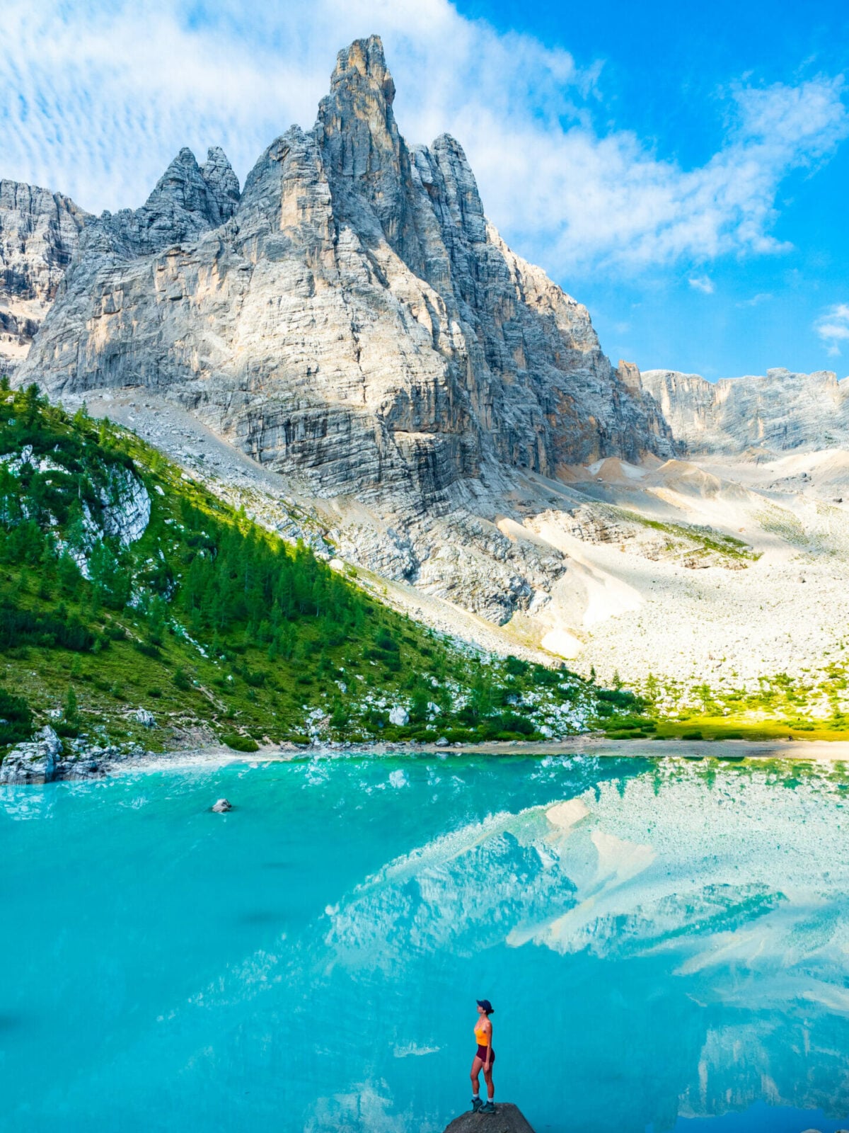
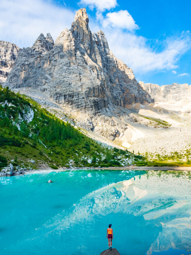
Sorapis is one of the most spectacular lakes in the Dolomites, its impossibly turquoise waters nestled beneath towering limestone cliffs and a striking peak of the same name. Expect it to be absolutely packed when you arrive, but spending the night at Rifugio Vandelli means you can experience this iconic landscape in the peaceful light of early morning on Day 4— yet another perk of hut-to-hut hiking!
This comprehensive guide to Day 3 of Alta Via 4 contains detailed section times, route recommendations, adventurous side trips, via ferrata, and heaps of insider tips— use it to plan your hike & then refer back on the trail so you always know what to expect!
All my AV4 knowledge in one place: Alta Via 4: complete hiking + via ferrata route guide
Alta Via 4: Day 3 overview
- trail time: 5.5hrs (save 1.5hrs by taking the bus from Misurina to Tre Croci)
- distance: 17km
- elevation gain & loss: 830m gain & 1260m loss
- via ferrata en route: Sentiero Attrezzato Alberto Bonacossa (one-way; easy)— refer to Tabacco Map 010 & Cicerone Vol.1 (route 62)
- huts: Rifugio Vandelli
*Trail times reflect the time we spent hiking, excluding extended breaks where we removed our backpacks to eat lunch, relax on the summit, or otherwise luxuriate along the trail. These figures are best used to understand realistic minimum hiking times between major waypoints, but we recommend factoring in 1-2hrs of additional time every day to properly enjoy the route! This should give you a more realistic hut-to-hut hiking time for the day.
Rifugio Fonda Savio to Rifugio Col de Varda via Sentiero Attrezzato Alberto Bonacossa (1B; 1.75hrs)
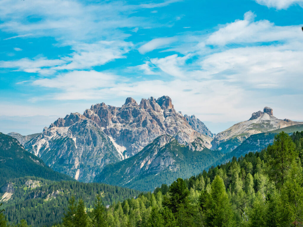
Setting off from Rifugio Fonda Savio, descend for a few minutes below the hut before turning left onto path 117, following signs upwards to Rifugio Col de Varda. This represents the second half of Sentiero Attrezzato Alberto Bonacossa, the easy via ferrata route you began yesterday from Rifugio Auronzo to Rifugio Fonda Savio, and it will be up to you whether you go to the effort of gearing up.
Indeed, the most challenging bit of the ascent is navigating over loose scree, and I found myself struggling to follow the trail on a couple occasions or even know which pass I was aiming for amidst the mess of rocks.
If you’re following my custom AV4 adventure route, the best way to stay on track is with my custom-built AV4 GPS map— packed with detailed daily tracks, 98+ waypoints, all the side trips & via ferrata described in this guide, plus extensive trail notes to help you navigate AV4 like an expert. UPDATED SEPT 2026 BASED ON USER FEEDBACK!
Available in both JSON and GPX formats, the map works seamlessly with GPS apps like CalTopo, Gaia, and AllTrails, or with Garmin devices and watches. Head to my storefront to purchase the map!
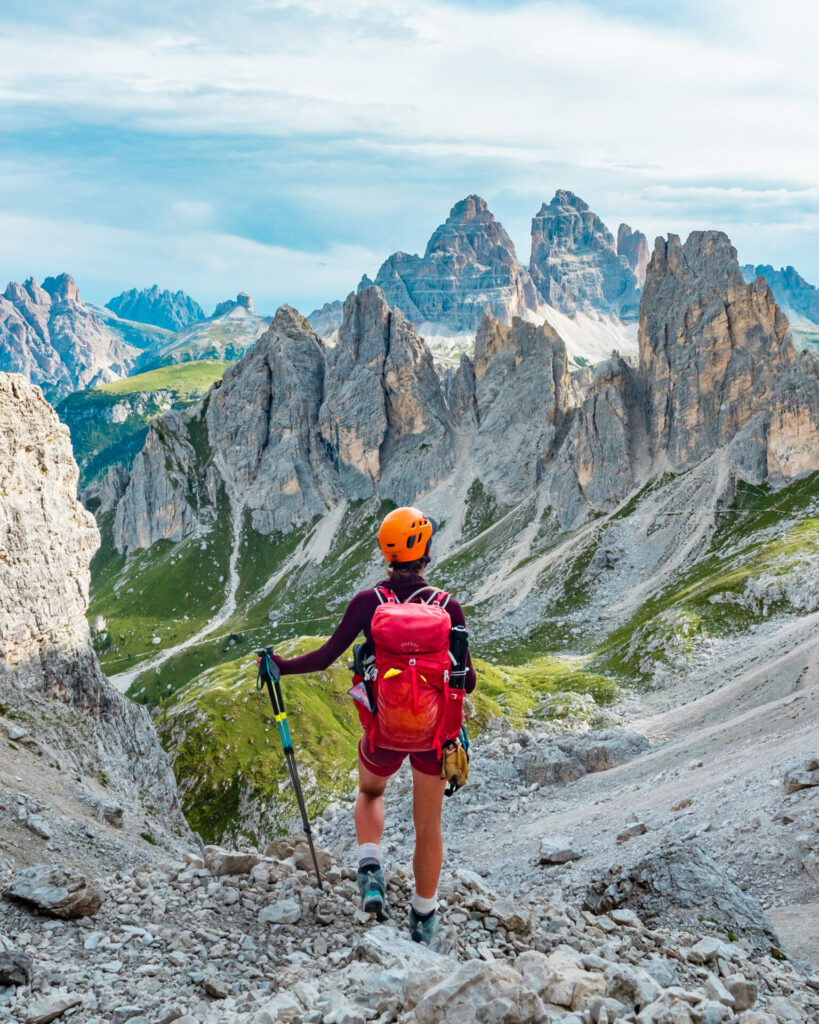
Ascend for 30min to cross over windy Forcella del Diavolo and continue down with occasional cable protection to Ciadin della Neve before following signs onwards to Forcella di Misurina (reached in a 20min climb). From here, contour on a busy path down to the now-visible Rifugio Col de Varda.
These 2 mountain passes are the most significant ascents and descents of the day, and even so, not terribly challenging— once done, it’s smooth sailing all the way to Misurina and onwards to Rifugio Vandelli on the shores of Lago di Sorapis.
Rifugio Col de Varda to Misurina (45min)
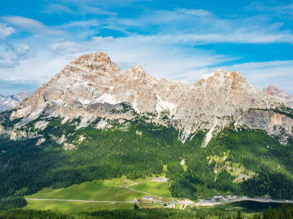
Although there is a cable car that runs for 350m from Rifugio Col de Varda to Misurina, the trail is quite pleasant and there’s little reason to skip the short hike! Allow just 45min to descend from the rifugio to the shores of Lago Misurina on a wide path through the forest.
Misurina is a popular holiday destination for families and day-hikers, a picturesque lake ringed by trees beneath some of the towering peaks you spent the last several days navigating around. This is the most civilisation you’ll find anywhere on AV4 and a good opportunity to stock up on additional trail snacks, cash, or even just a warm apple strudel— which is exactly how I spent my afternoon, snacking on the sunny deck of a little cafe just opposite the lake.
*An alternative route exists from Rifugio Col de Varda to Albergo Cristallo on path 120 and onwards to Rifugio Vandelli on path 117. This can be a good option if you have no interest in going through town, but involves a fair bit of additional distance and elevation gain/loss, so will depend on your preference!
UPDATE: several of my map users provided feedback on additional routes from Rifugio Fonda Savio to Vandelli (via Forcella Maraia/Rifugio Città di Carpi). These are shown and described in more detail on my GPS map!

Misurina to Passo Tre Croci (bus)
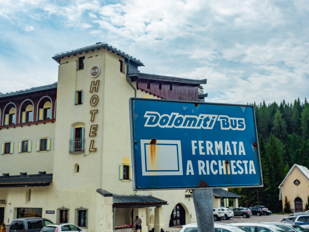
The next stage of AV4 leads you from Misurina to Passo Tre Croci, and nearly everyone travels this section by bus. Although I am typically loath to suggest a motorised shortcut of any kind, I am even less thrilled by the prospect of “hiking” for 1.5hrs (6km) along a busy road while cars whiz by. Catch the local Dolomiti bus outside the Chalet Alpenrose in Misurina and ride for 2 stops to Passo Tre Croci (ticket payable on board, 2€).
The good news is that you can recoup all 6km (and more) by hiking into the rugged mountains behind Rifugio Vandelli later today, which is much more of an adventure.
Passo Tre Croci to Lago di Sorapis (1.5hrs)
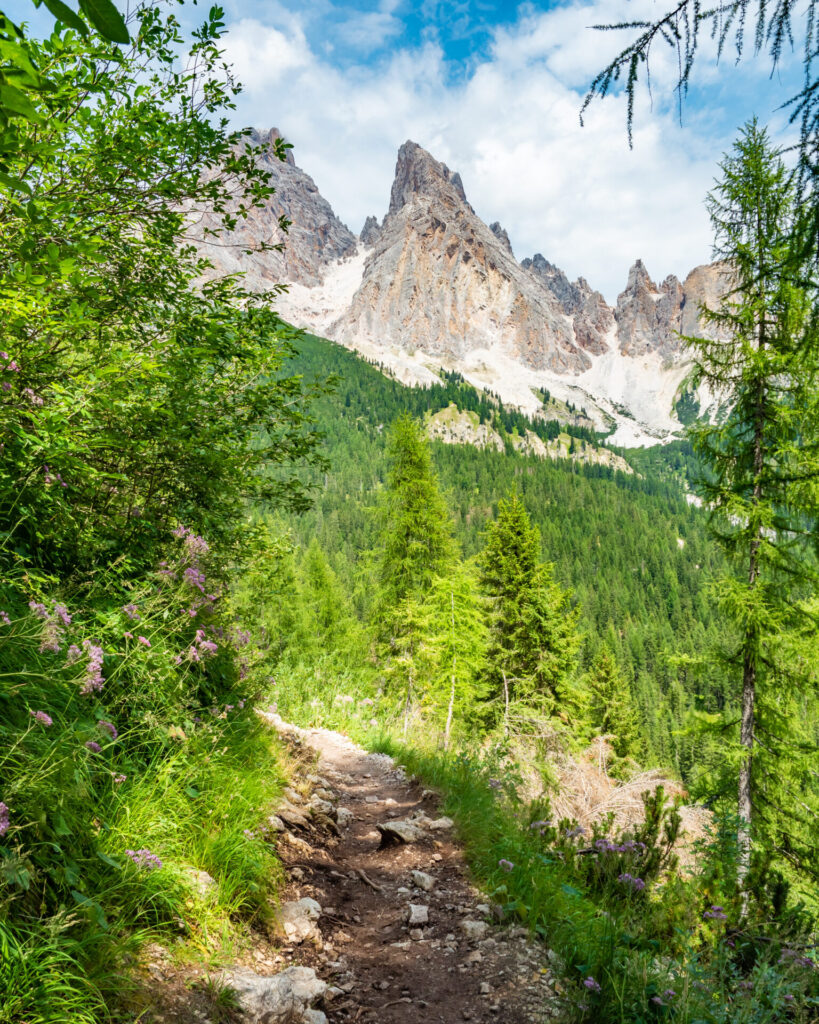
From the bus stop at Passo Tre Croci, walk just a minute downhill to connect with Path 215 on your right. This is a wide, leisurely, and very popular route to Lago di Sorapis, so expect hordes of people and even some congestion as you near the lake, with slower hikers slowing down a long line of eager tourists.
The trail begins with about 40min of fairly flat walking, then climbs more steeply for the next 20min with occasional metal steps and cables (although there is absolutely no need for gear).


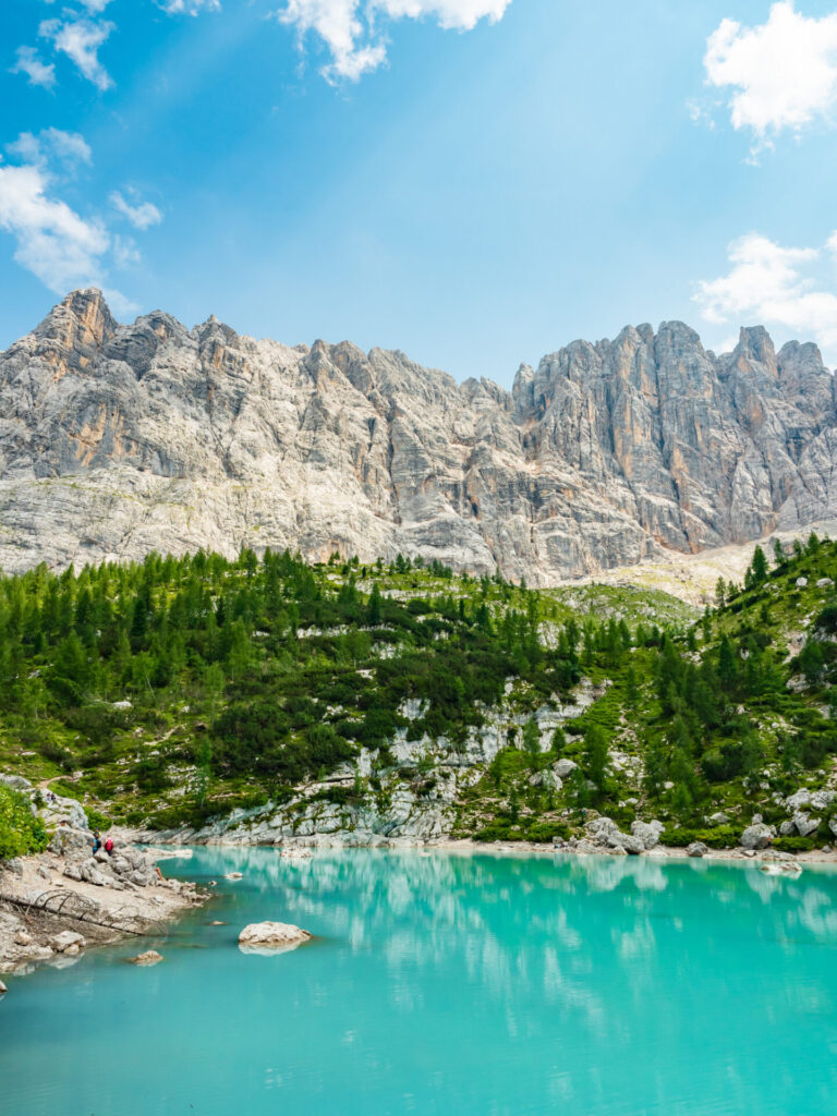
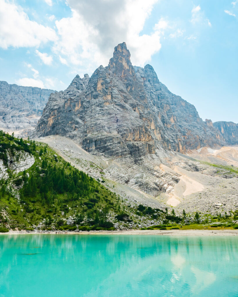
The final 20min of the hike is on more level ground and meanders just a few metres beyond Rifugio Vandelli to the shores of Lago di Sorapis, a vibrant turquoise lake beneath the dramatic spire of Cima Sorapis.
Expect an obscene number of people to be crowding around the lake taking photos— this is one of the busiest places in the Dolomites and it’s more than a little overwhelming. Therein lies the best reason to stay at Rifugio Vandelli, only a stone’s throw away: visit the lake in the quiet moments of the early morning tomorrow for a much better experience!
Side trip: Forcella Sora la Cengia del Banco (3hrs)
If you’re keen to explore beyond the crowds at Lago di Sorapis (and recoup some of those “lost” kilometres from taking the cheater bus), hike as far as time allows towards Via Ferrata Francesco Berti along the Giro di Sorapis route for some wonderful scenery and serenity.
Despite the objectively rough quality of the terrain, I particularly enjoyed this excursion and saw only 2 other people descending through the scree as I climbed upwards, soon finding myself entirely alone in a lesser-explored corner of the range whose complete peace belied the popularity of the lake below.


It takes just 10min from the hut to hike around the right side of the lake and connect with Trail 215, ascending with an increasing grade up the slippery scree slope just right of Cima Sorapis. This continues for about an hour, topping out briefly on flat limestone slabs before continuing upwards another 45min to the Forcella Sora la Cengia del Banco.
It’s unlikely you’ll have time to actually reach the via ferrata cables, which are still a distance beyond the Forcella, but this hike still delivers excellent scenery in the secluded glacial basin of Tondi di Sorapis and under the watchful shadow of Punta Nera.
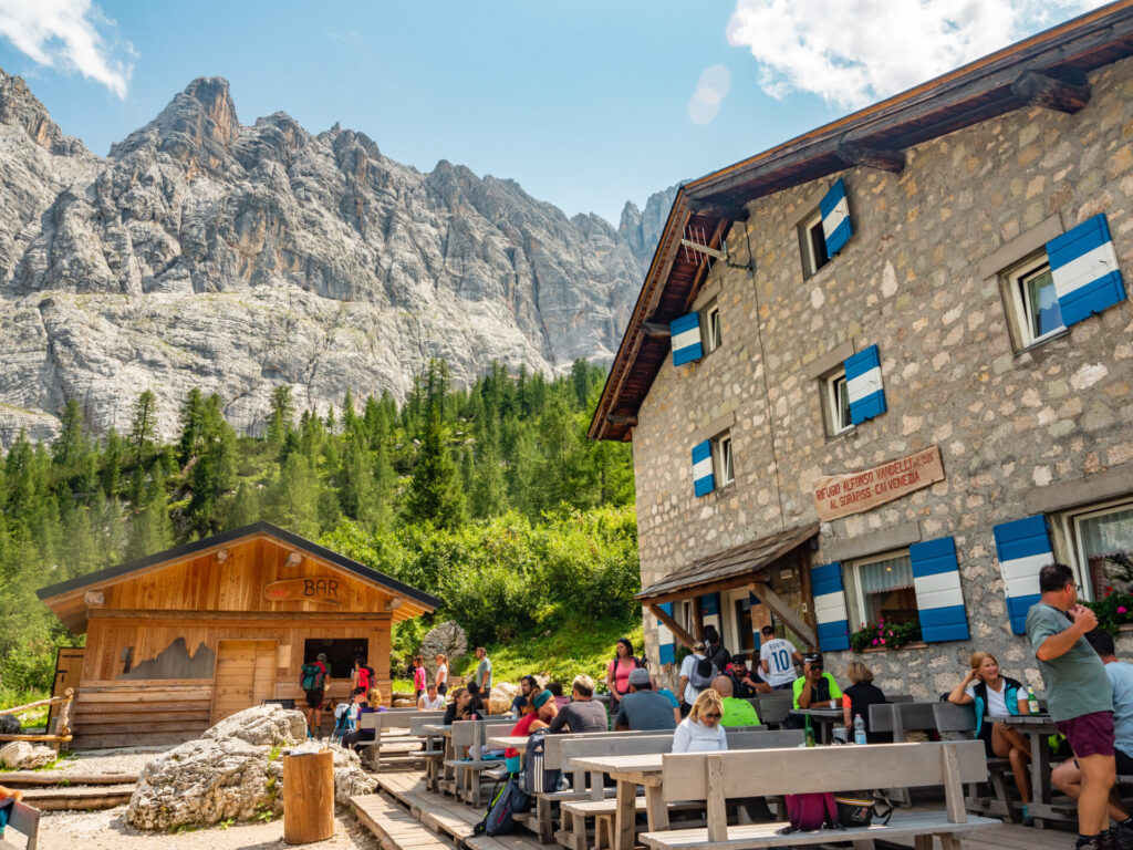
Night 3: Rifugio Vandelli
Packed with day trippers in the afternoon, Rifugio Vandelli clears to a more comfortable bustle by evening. And what the hut lacks in rustic hospitality, it does make up for with proximity to Lago di Sorapis (that early morning light is magic, particularly before the crowds arrive!) and absolutely amazing food— they served pumpkin gnocchi in cheese sauce as a starter and it may have been my favourite course in any of the rifugi I’ve stayed in! Reserve Rifugio Vandelli by emailing rifugiovandelli@libero.it.
- Rooms: 28€ (small room) OR 65€ half board (small room)
- Food: A la carte (meals 10-15€, good lunch options) or half board, excellent food!
- Showers: no
- Connectivity: none
- Alpine club discount: -13.5€ room OR -10€ half board
For more information on what to expect in a mountain hut & how to prepare for your stay: Everything you need to know about mountain huts (rifugi) in the Italian Dolomites
Read more about Alta Via 4
- start here ->Detailed AV4 Route Guide
- Everything you need to know about mountain huts (rifugi) in the Italian Dolomites
- Alta Via 4 (day 0): San Candido to Rifugio Tre Scarperi
- Alta Via 4 (day 1): Rifugio Tre Scarperi to Locatelli Tre Cime + Via Ferrata Torre di Toblin & Innerkofler
- Alta Via 4 (day 2): Rifugio Locatelli Tre Cime to Rifugio Fonda Savio + Via Ferrata Merlone
- Alta Via 4 (day 3): Rifugio Fonda Savio to Rifugio Vandelli
- Alta Via 4 (day 4): Rifugio Vandelli to Rifugio San Marco + Via Ferrata Giro di Sorapis
- Alta Via 4 (days 5 & 6): Rifugio San Marco to Rifugio Antelao to Pieve di Cadore
- navigate confidently on & off the trail ->AV4 adventure route GPS map! (updated Sept 2026)
