
Alta Via 4 (days 5 & 6): Rifugio San Marco to Rifugio Antelao to Pieve di Cadore
Last Updated on 3 September 2026
Alta Via 4 comes to a scenic end over the next 23km, traversing a stark glacial valley beneath Monte Antelao, the second-highest peak in the Dolomites, before descending through peaceful forests to Pieve di Cadore. From remote Rifugio Galassi, the route heads through a maze of moraine rubble to connect with Via Ferrata del Ghiacciaio, ascending solid sloping slabs to reach Forcella del Ghiacciaio for one final taste of the adventurous terrain that makes Alta Via 4 so special.
Although it’s entirely possible to hike the remaining distance to town in a single day (about 1.5hrs at a brisk clip, entirely downhill), I’d recommend lingering for one last night at Rifugio Antelao and stretching this into two days. Arriving to Pieve di Cadore in the morning makes it easier to connect to outbound transportation, in addition to being a fitting way to savour one final evening in the mountains before returning to civilisation!
This comprehensive guide to Days 5 & 6 of Alta Via 4 contains detailed section times, route recommendations, adventurous side trips, via ferrata, and heaps of insider tips— use it to plan your hike & then refer back on the trail so you always know what to expect!
All my AV4 knowledge in one place: Alta Via 4: complete hiking + via ferrata route guide
Alta Via 4: Days 5 & 6 overview
- trail time: 6.5hrs
- distance: 23km
- elevation gain & loss: 1270m gain & 2190m loss
- huts: (Rifugio Galassi), Rifugio Antelao
*Trail times reflect the time we spent hiking, excluding extended breaks where we removed our backpacks to eat lunch, relax on the summit, or otherwise luxuriate along the trail. These figures are best used to understand realistic minimum hiking times between major waypoints, but we recommend factoring in 1-2hrs of additional time every day to properly enjoy the route! This should give you a more realistic hut-to-hut hiking time for the day.
Rifugio San Marco to Rifugio Galassi (1hr)
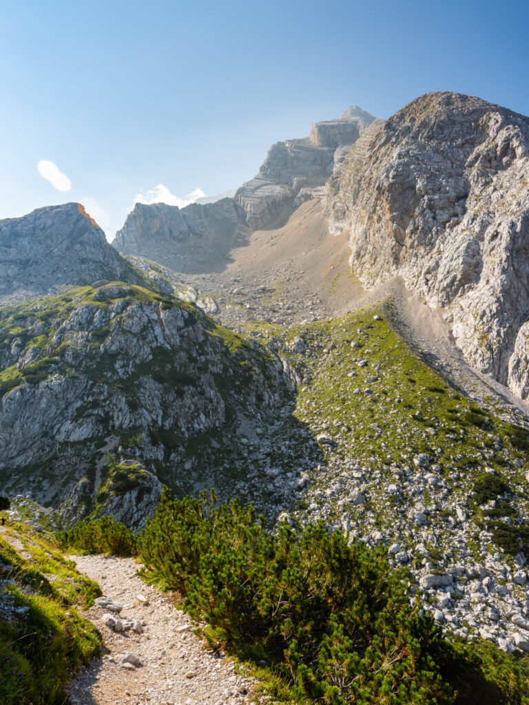
Setting off from the quiet bliss of Rifugio San Marco, join a pleasantly level trail before eventually climbing up steep scree to gain Forcella Piccola at 2,120m.
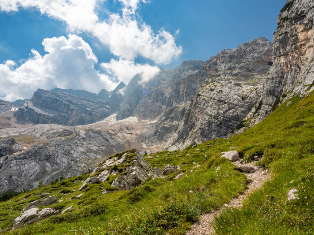
This is actually the starting point for the climb to Antelao— in stable weather (which I was unlucky not to have, with afternoon storms forecasted), you can summit the second highest mountain in the Dolomites as a long day and then stay at Rifugio Galassi just below this point. If weather does not allow a full ascent, I still recommend climbing up part of the trail for beautiful views!
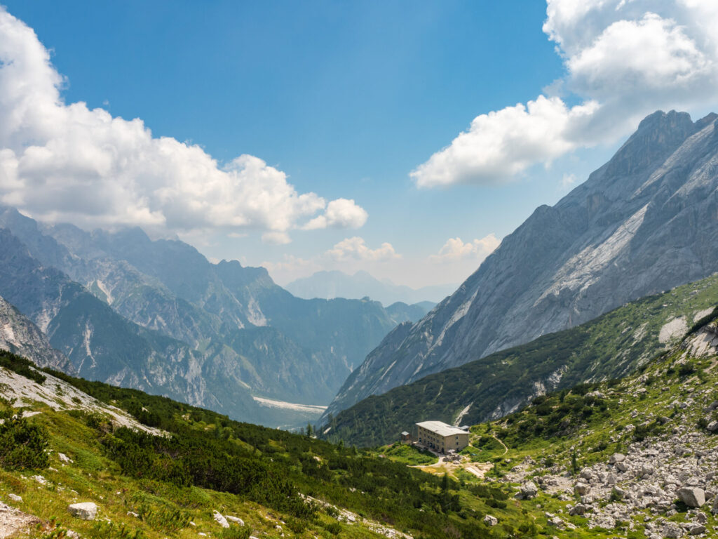
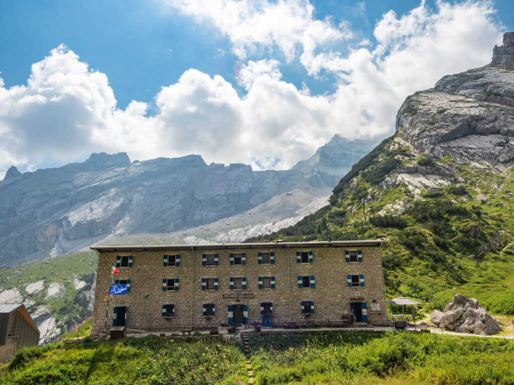
Descending the other side of Forcella Piccola, arrive shortly to Rifugio Galassi, just under an hour from Rifugio San Marco. Although this is a feasible alternative for last night’s stay, it doesn’t have quite the charm of little San Marco, but it may be a good spot to stop for a morning snack break for the onward journey.
If you’re following my custom AV4 adventure route, the best way to stay on track is with my custom-built AV4 GPS map— packed with detailed daily tracks, 98+ waypoints, all the side trips & via ferrata described in this guide, plus extensive trail notes to help you navigate AV4 like an expert. UPDATED SEPT 2026 BASED ON USER FEEDBACK!
Available in both JSON and GPX formats, the map works seamlessly with GPS apps like CalTopo, Gaia, and AllTrails, or with Garmin devices and watches. Head to my storefront to purchase the map!
Rifugio Galassi to Forcella del Ghiacciaio (1.5hrs)
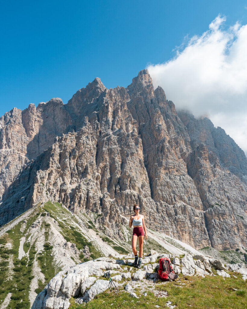
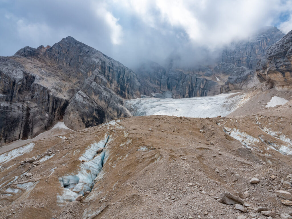
Continuing beyond the white and blue shutters of Rifugio Galassi, the more challenging ascent to Forcella del Ghiacciaio begins. Closely follow red dots and occasional cairns for the easiest route through the scree and over the glacier moraine. It’s not the climb itself that’s necessarily difficult, it’s the romping through rubble that ensues when you inevitably lose the path— keep a watchful eye on that red paint!


This is among the most wild sections of AV4 and it gave significant pause to a pair of young male hikers who, despite being objectively quite fit, were underprepared for the challenging terrain and steep cables on either side of Forcella del Ghiacciaio, as well as the navigational demands through the moraine.
Inexperienced trekkers should avoid hiking this part of the trail alone, as there are times you’ll need to make judgement calls on the safest route and, as I saw the aforementioned hikers careening wildly down a scree slope that terminated abruptly into a pile of sharp rocks, it occurred to me that not everyone is equally prepared to make those judgment calls. Exercise additional caution today.
About 1hr after leaving the hut, arrive at the base of the via ferrata that will carry you the remaining distance up to Forcella del Ghiacciaio. I didn’t gear up for this because I was moving at a quick pace, but you may want to; it’s about 30min of fun near-vertical climbing to reach the pass.
Forcella del Ghiacciaio to Rifugio Antelao (2.25hrs)
Descend from the Forcella over loose scree and talus for about 10min (again, choose your line carefully, those hikers were lucky not to be more than just shaken up by their risky descent) before connecting with a vertical cable that will bring you down the steepest part of the rock for a further 10min.
Once off the via ferrata, a pleasant trail drops several hundred metres into the valley for a little under an hour, stopping just short of becoming a knee-ache to climb gradually up to Forcella Piria (20min). Meander on an enjoyable trail around the hillside to arrive at Rifugio Antelao 40min later.
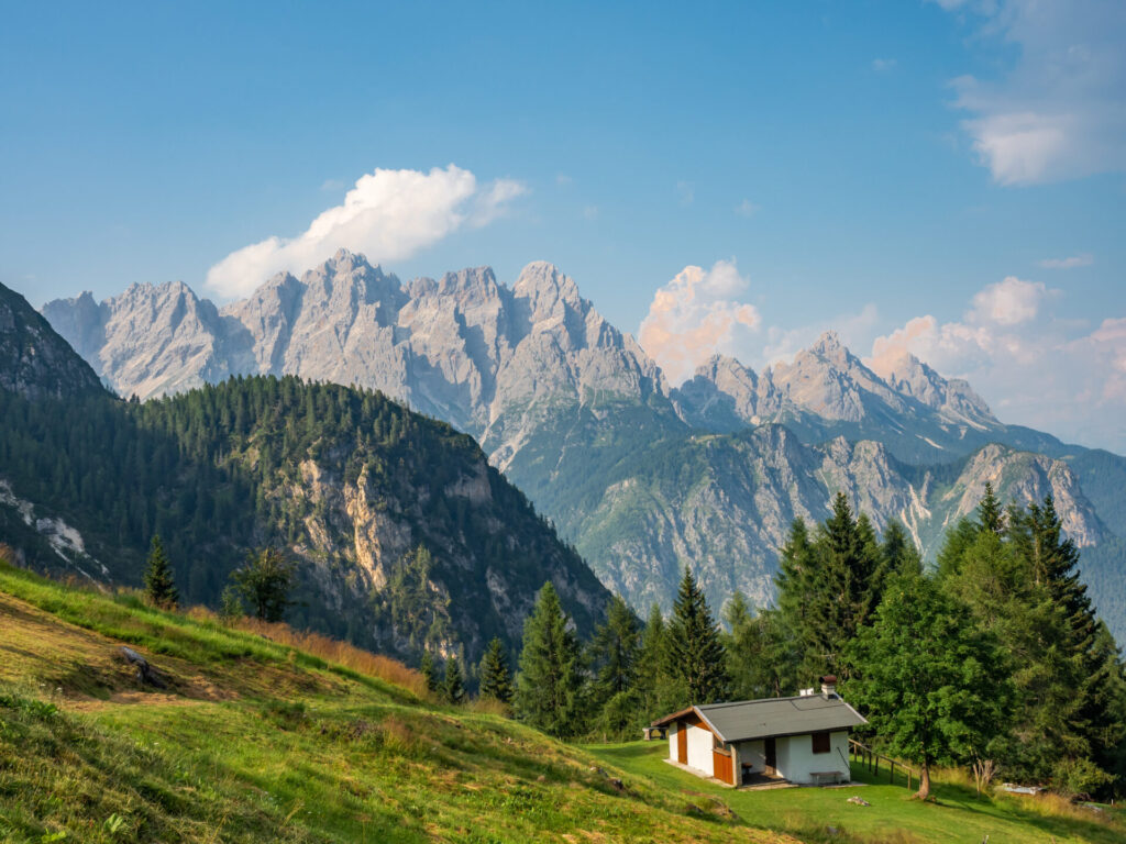
Night 5: Rifugio Antelao
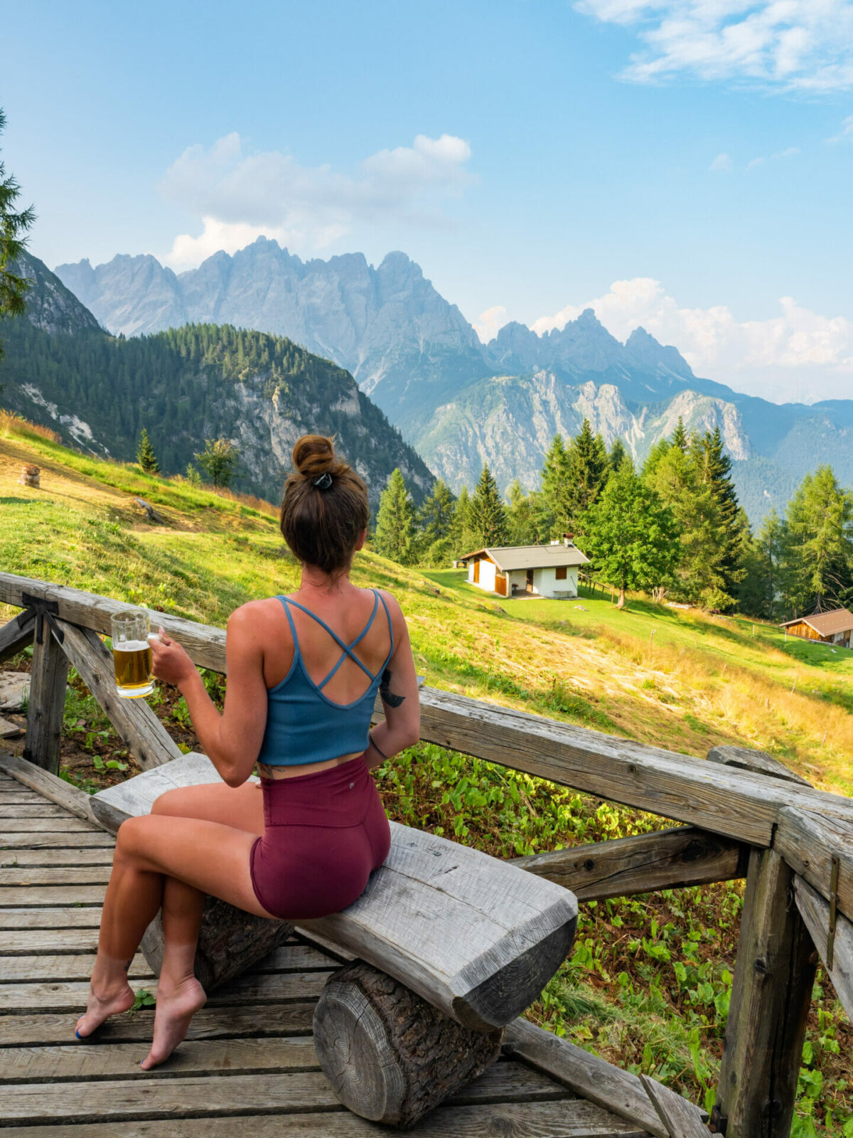
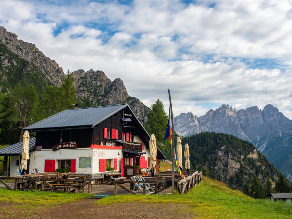
With a beautiful view of the surrounding mountains, quaint Rifugio Antelao is perched in the forest just before the official end of AV4. There’s plenty of time to hike out to Pozzale and Pieve di Cadore today, but the accomodation here is comfortable and significantly cheaper than what you’ll find in town. Take one extra night on the trail, hike out tomorrow, and zip off on public transport to the next destination!
Rifugio Antelao was super quiet both times I stayed, and the owner brought a large selection of complimentary grapa to dinner. It was a very friendly experience and a lovely final night on AV4! Reserve Rifugio Antelao by emailing gio.sta@hotmail.it.
- Rooms: 29€ (dorm) OR 55€ half board (dorm)
- Food: a la carte lunch menu, half-board is the only enticing dinner option
- Showers: 5€ for 6min
- Connectivity: strong mobile signal
- Alpine club discount: -8.5€ half board
For more information on what to expect in a mountain hut & how to prepare for your stay: Everything you need to know about mountain huts (rifugi) in the Italian Dolomites


Rifugio Antelao to Pieve di Cadore (1.5hrs)
Depart Rifugio Antelao on a Jeep track, eventually following signs onto Trail 253. Descend on a narrow dirt path through the trees that seems very lightly trafficked, connecting onto a steep and rocky road for the final drop into Pozzale about an hour after leaving the hut.
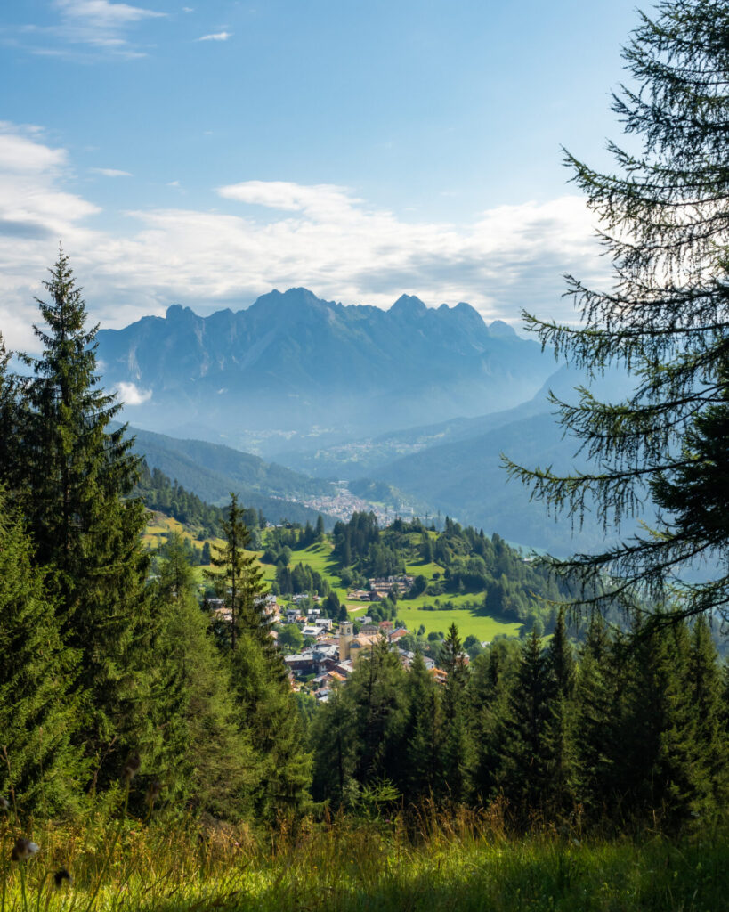


From Pozzale, it’s an easy 20min walk on the road (without any real footpath) into next town, Pieve di Cadore, the official end of AV4!
*If you’re travelling to Venice for an onwards train or flight, walk 15min further (this time on a nice footpath) to the neighbouring town of Tai di Cadore, where you can catch a Cortini Express bus direct to Venice Mestre Train Station in under 2hrs (tickets 22€; recommended to book online).
Read more about Alta Via 4
- start here ->Detailed AV4 Route Guide
- Everything you need to know about mountain huts (rifugi) in the Italian Dolomites
- Alta Via 4 (day 0): San Candido to Rifugio Tre Scarperi
- Alta Via 4 (day 1): Rifugio Tre Scarperi to Locatelli Tre Cime + Via Ferrata Torre di Toblin & Innerkofler
- Alta Via 4 (day 2): Rifugio Locatelli Tre Cime to Rifugio Fonda Savio + Via Ferrata Merlone
- Alta Via 4 (day 3): Rifugio Fonda Savio to Rifugio Vandelli
- Alta Via 4 (day 4): Rifugio Vandelli to Rifugio San Marco + Via Ferrata Giro di Sorapis
- Alta Via 4 (days 5 & 6): Rifugio San Marco to Rifugio Antelao to Pieve di Cadore
- navigate confidently on & off the trail ->AV4 adventure route GPS map! (updated Sept 2026)

The Comments
sarah
hi brooke, thanks for the helpful guide! I was wondering how the terrain on this day compare to AV2 (did last year) and if you think that’s adequate experience for this stage. (we have also done a good amount of rocky + exposed hiking in areas like sierras, norway, swiss alps but its hard to compare to the dolomites!)
brooke beyond
sarahHi Sarah, I would say Alta Via 4 is a little more challenging than Alta Via 2 because of the more frequent en route via ferrata.
Did you do any of the via ferrata along AV2, especially more challenging routes like Porton/Nico Gusella, Brigata Tridentina, or delle Trincee? And were you comfortable with this? That will be the best indicator of how you’d fair on AV4, since there are several unavoidable sections of vertical ladders that ascend several hundred metres up an exposed face.
That being said, if you’re comfortable with rough terrain and exposure in general, I’m sure you’d be able to tackle AV4 with the right gear!
Hope that helps, feel free to respond or email me if you need more info 🙂
xx bb
Mikel
Thanks for all the great tips on the Alta Via 4! I’m curious – Did you pack all your travel gear with you? Or leave it in hotel somewhere? I was thinking of leaving my luggage in a hotel in Cortina and picking it up after the Alta Via. But I also think it would sure be nice to be completely self-contained. Just not sure I could pack light enough on an International trip! I would like to spend a few days in Venice, Verona and Milan as well.
-Mikel
brooke brisbine
MikelHi Mikel, I personally went self-contained on this trip since I did AV2 and AV4 back to back (and picking up bags would have been totally impractical). It was nice not to have to worry about any additional gear, but I had a definite “hiker” look going on in the city lol.
If you’re just doing AV2, there’s no reason you can’t leave a bag in Cortina or even in Venice (if you’re arriving and departing from that airport/train station). I have had good success with this on many trips, but it just didn’t make sense for me in the Dolomites.
Enjoy your adventure!
xx bb