
Huayhuash Circuit (day 7): Laguna Juraucocha to Rasac via Laguna Santa Rosa & Paso Rosario
Last Updated on 28 April 2025
My custom Huayhuash Circuit adventure route now veers completely off the traditional trail, adding an entire day of wild exploration in one of the range’s most dramatic valleys. After departing Laguna Juraucocha, ascend through glacial moraines into Quebrada Sarapococha, a surreal landscape of ice-blue lakes and towering peaks like Siula Grande and Yerupajá.
From Laguna Santa Rosa, a steep, unmarked climb leads to Paso Rosario (5,090m), offering panoramic views over the entire valley. The descent is rugged and demanding, navigating loose scree and shifting boulders before reaching a spectacular wild campsite beneath the snow-capped flanks of Rasac. One of the most unreal places I’ve ever pitched a tent!
🏔️ Check out my Huayhuash Circuit Trail Guide for detailed daily route descriptions (including all the best alternate routes & extensions), hike logistics, and a complete packing list.
Trail stats: Laguna Juraucocha to Rasac via Laguna Santa Rosa
Stats quoted here are for my recommended 10-day “adventure route” that incorporates ruta alpina (high alpine alternatives to the standard route) and epic side-trips along the Huayhuash Circuit whenever possible.
- Trail hours: 8hrs
- Distance: 10.3km
- Elevation gain: 1,065m
- Highest elevation: Paso Rosario 5,090m
- Highlights: Exploring Quebrada Sarapococha; amazing views of Lagunas Santa Rosa and Sarapococha from Paso Rosario; wild camping right beneath Rasac
- Campsite: wild camping at the base of Rasac


We wake up at the usual time to amazing views of the mountains we’ve camped beneath, eating our breakfast in the shadow of Jurau. Our plan today is to explore the many peaks and lakes in this valley, particularly the base camp where Joe Simpson’s epic escape from Siula Grande played out. We aren’t sure how much time we’ll need to reach some of the best viewpoints, but we changed our trekking plans a few days ago to allow an entire day in this valley, just in case we don’t make it any farther than this same camp.
Before long, Eileen sets off from camp ahead of us, determined to get good photos before any afternoon clouds materialise. Dad and I aren’t terribly far behind at 8.30am, ascending the glacial moraine out of camp and dropping down the other side into the valley.
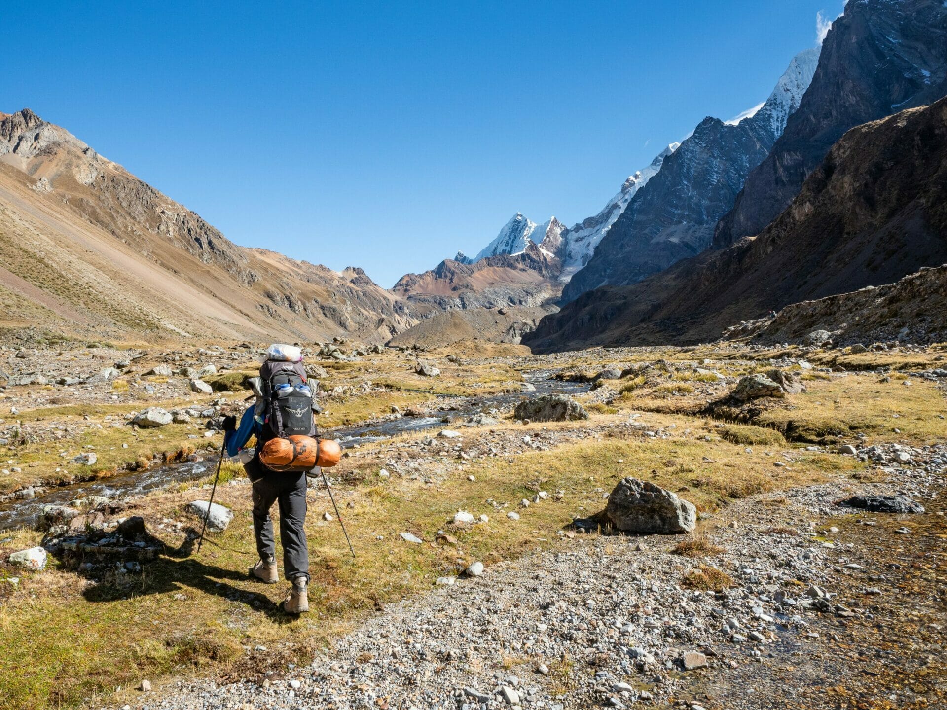
We expect to spot Eileen’s pink jacket immediately, but we actually walk a good distance towards Laguna Santa Rosa before we spot her flapping her hot pink arms frantically atop a grassy hillside to the left. We drop packs and ascend quickly to her, bringing our map and guidebook.
Together, we lay out a plan for the day. Dad and I want to trek up to a large boulder on the right on the valley, suggested by the guidebook as a great lookout over Laguna Santa Rosa, but Eileen wants to get started on the long climb up to Paso Rosario (below Cerro Gran Vista) on the opposite side of the valley.
It’s decided that she will keep working her way up the hillside over the next couple hours and then wait for us (hopefully not long, considering dad and I will climb a bit faster) at the pass. Plans layed, dad and I descend back to our packs for our side trip, not knowing this is the last time we will speak to Eileen today.

It doesn’t take us too long to reach the giant boulder across the valley, and the views from the top are every bit as spectacular as we were expecting, if not more so.
Quebrada Sarapococha possesses a rugged, dramatic beauty that is really beyond compare— jagged peaks that have claimed many lives contrasting wildly with the dreamy blue of perfectly polished lakes. There’s a distinct serenity to this place, the silence disturbed only by wind that howls over the mountains, and yet the grey clouds that swirl over the tempestuous summits of Siula Grande and Yerupajá are distinctly forbidding. It’s easy to see what draws climbers to the Cordillera Huayhuash, why young adventurers feel entranced by its dangerous beauty. I feel it myself.
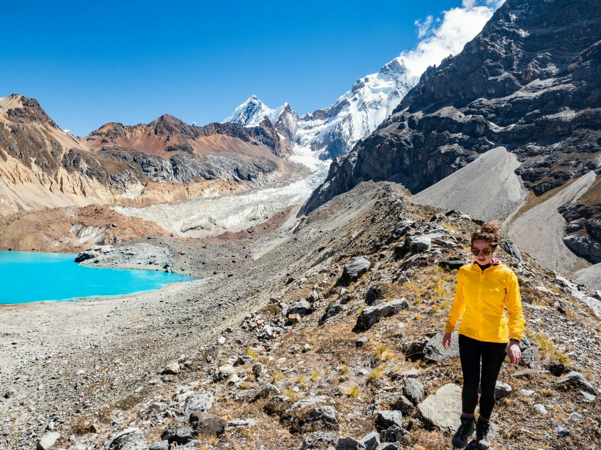
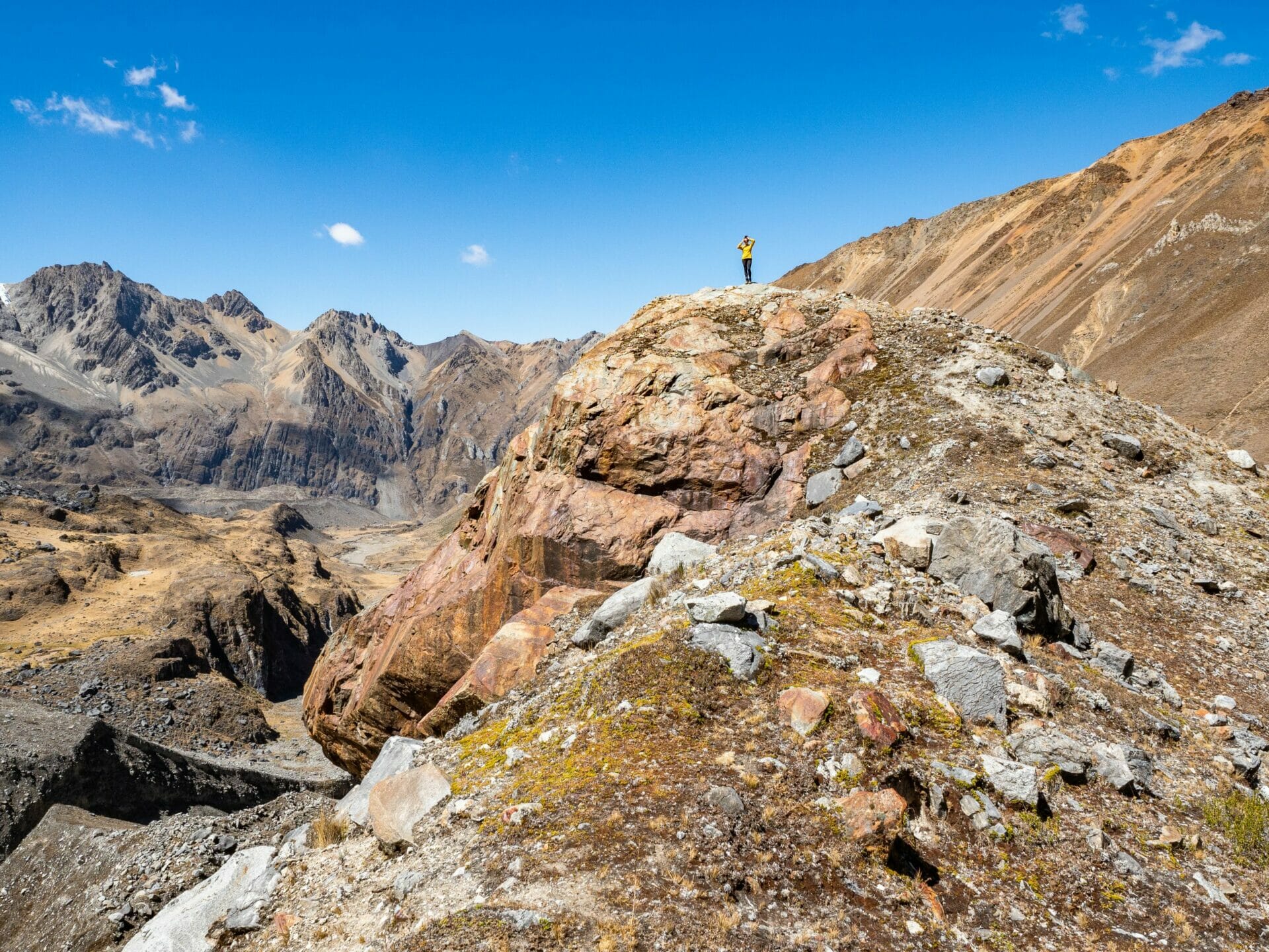


Dad and I run around atop the hillside, getting wonderful views of Siula Grande and Siula Chico above us, as well as Yerupajá to our left. Once done, we enjoy a snack break above the perfectly aquamarine lake, fantasising about diving straight in (and in my fantasy, the glacial lake is actually bath water temp).
We can see colourful specks moving across the hillside, and at one point we even notice that Eileen is moving with the Frenchies we met yesterday before they eventually hike onwards ahead of her. We watch their progress to get an idea of the trail to the pass, all of which looks reasonably straightforward from this distance.
Finally, we tear ourselves away from the view and make the quick journey back to our packs, stopping to fill up water and just generally psyching ourselves up for what is likely to be a multi-hour uphill slog to meet Eileen. Around 11.40am, we begin the climb.


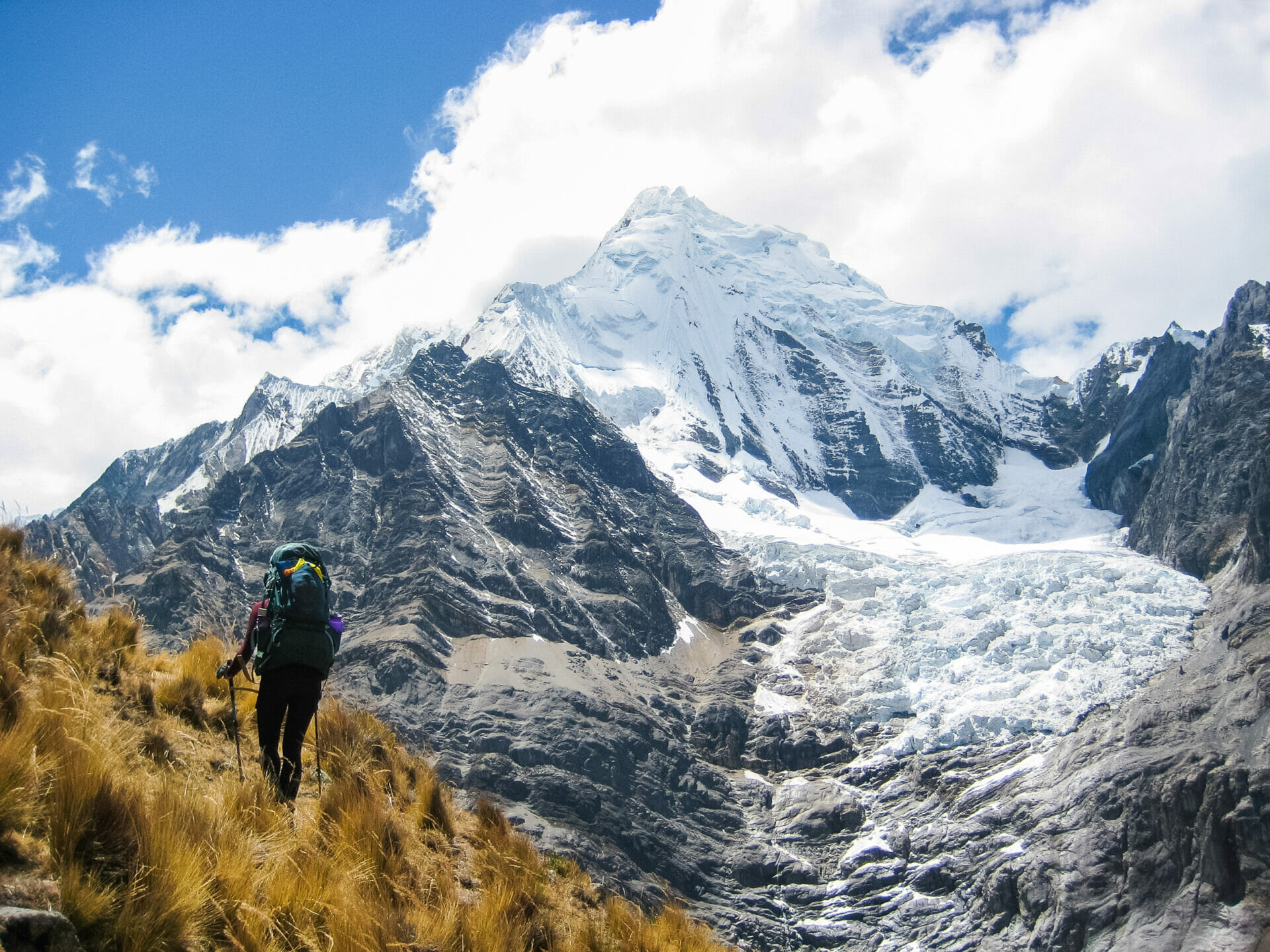
Our plan is to climb straight upwards until we intersect the trail under a distinct rock formation, but it proves a definite challenge to travel directly up the hillside. I even manage to slip on loose scree and roll part-way down the slope before I brace against a stronger rock and come to a stop. Adrenaline pumping, we continue upwards.
We reach the trail in about 30min, after which time the ascent becomes much more gradual. As has come to be expected on this trek, though, the experience of knowing where we are and confidently travelling along the correct trail is extremely short-lived.
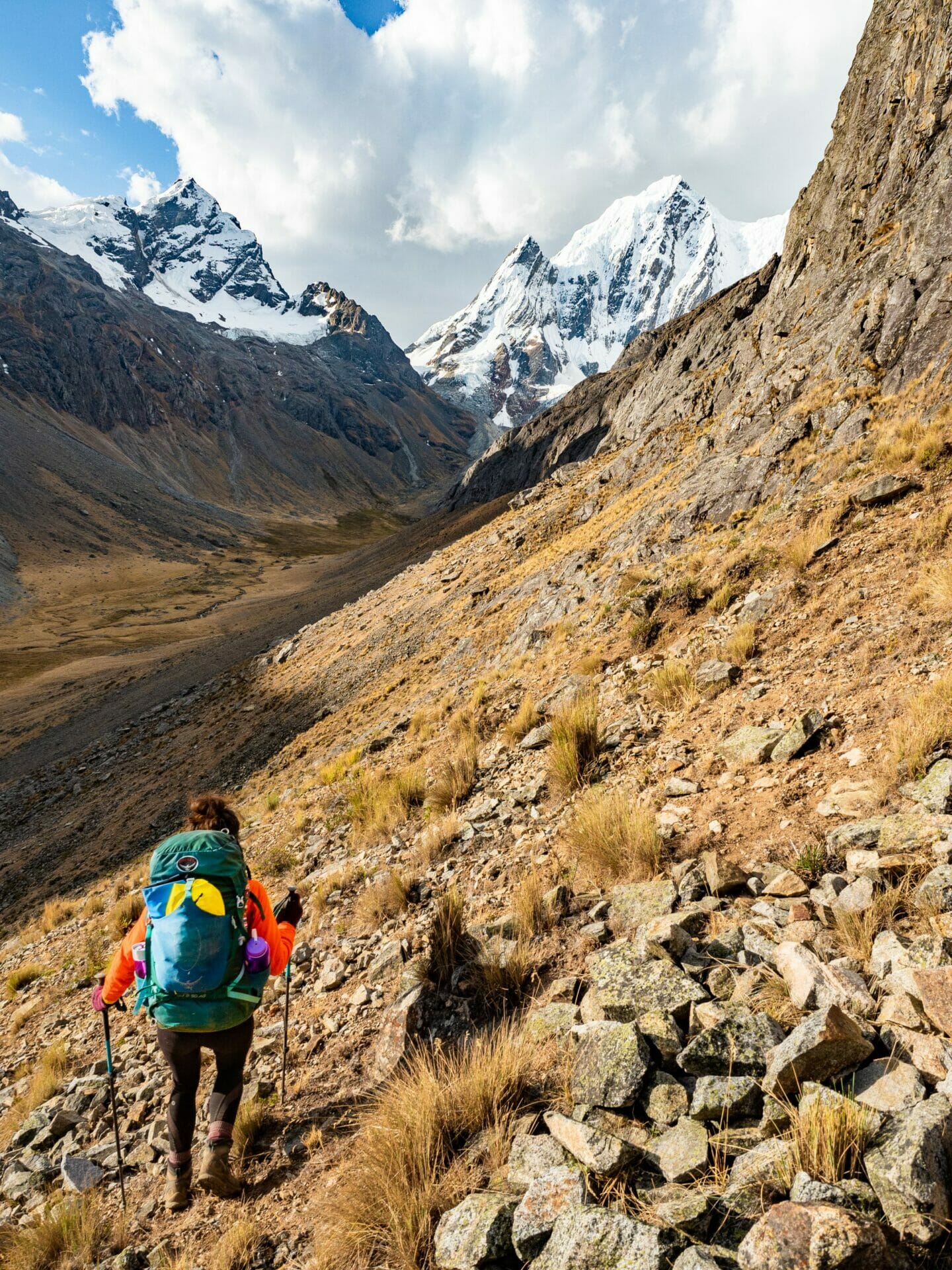
We lose the trail around about the last place we saw the Frenchies hiking and have to make our own route up to the pass. This essentially means cutting upwards along scree slopes, sometimes climbing natural terracing, but mostly ascending at an infuriatingly unproductive pace up loose dirt— for every two steps I manage to make up the hill, I slide another step back towards the valley.
The only consolation is the constant view beneath us, remarkable even as ominous afternoon clouds begin to form around the taller peaks. From this height, the lagunas are even deeper blue and a ring of green algae around the shore seems to glow like a neon sign. Set against the deep red of the moraines and the brilliant white of the glaciers, it feels like we are looking down at an entire rainbow of colours that shouldn’t exist together, but somehow do. Nature is pure magic


The going towards Paso Rosario is slow and it seems like every time we stop to check the GPS, we’ve gotten further off-route, bearing left when we should have veered right. Finally, almost 3hrs after we left the valley floor, we crest over the top of the pass to 360 degree views.
But no Eileen.
Dad blows his neon orange whistle a number of times, but with no response. We don’t see a single person, nor signs that any person was here, and are suddenly forced to consider several unappealing scenarios: Eileen ascended to the wrong pass (which would be incredibly easy to do, given the lack of trail and wild crisscrossing of routes on the GPS) or she waited for us here as planned before descending to escape the wind, hopefully with the Frenchies. Either way, we don’t really know where to meet her, but coming down the other side of the pass is a logical place to start.


If our ascent to the pass was gruelling, our descent is absolutely maddening. There isn’t a single second of solid ground for the first 2hrs, even large boulders giving way beneath my feet as they slide on the loose scree underneath.
I never thought I’d say this, but the scree fields prove to be the most desirable means of descent, since I can at least ski down them, anticipating their constant shifting and sliding. The enormous sections of rock we traverse are far less predictable, and I am all too aware that a single instance of poor footing or awkward shifting of my weight over the rocks could result in a broken ankle. And we are without an emergency beacon.
Conversation is non-existent as we descend, both singularly focused on getting down the mountain in a single piece. By some miracle, we do, but not before I take about 3 falls within 3 minutes on the final section, exhausted to the point that I am almost disconnected from my feet. Thankfully none of the slips are serious and all I have to show for them is a dirt-stained bum and a boot full of rocks.
Once at the valley floor, we expect to find Eileen or, at the very least, spot the vibrant red tent of the Frenchies. We see neither. Dad now supposes that all 3 would be together, that the sweet French woman who had multiple times come over to chat this morning and yesterday afternoon wouldn’t have left Eileen alone on the pass.
In this scenario, dad thinks they would have headed up-valley towards Rasac to camp. We set off along what appears to be simple flat terrain (but which is actually a squishy swamp of peat bogs and frequent river crossings) towards the snow-capped peak in the distance.
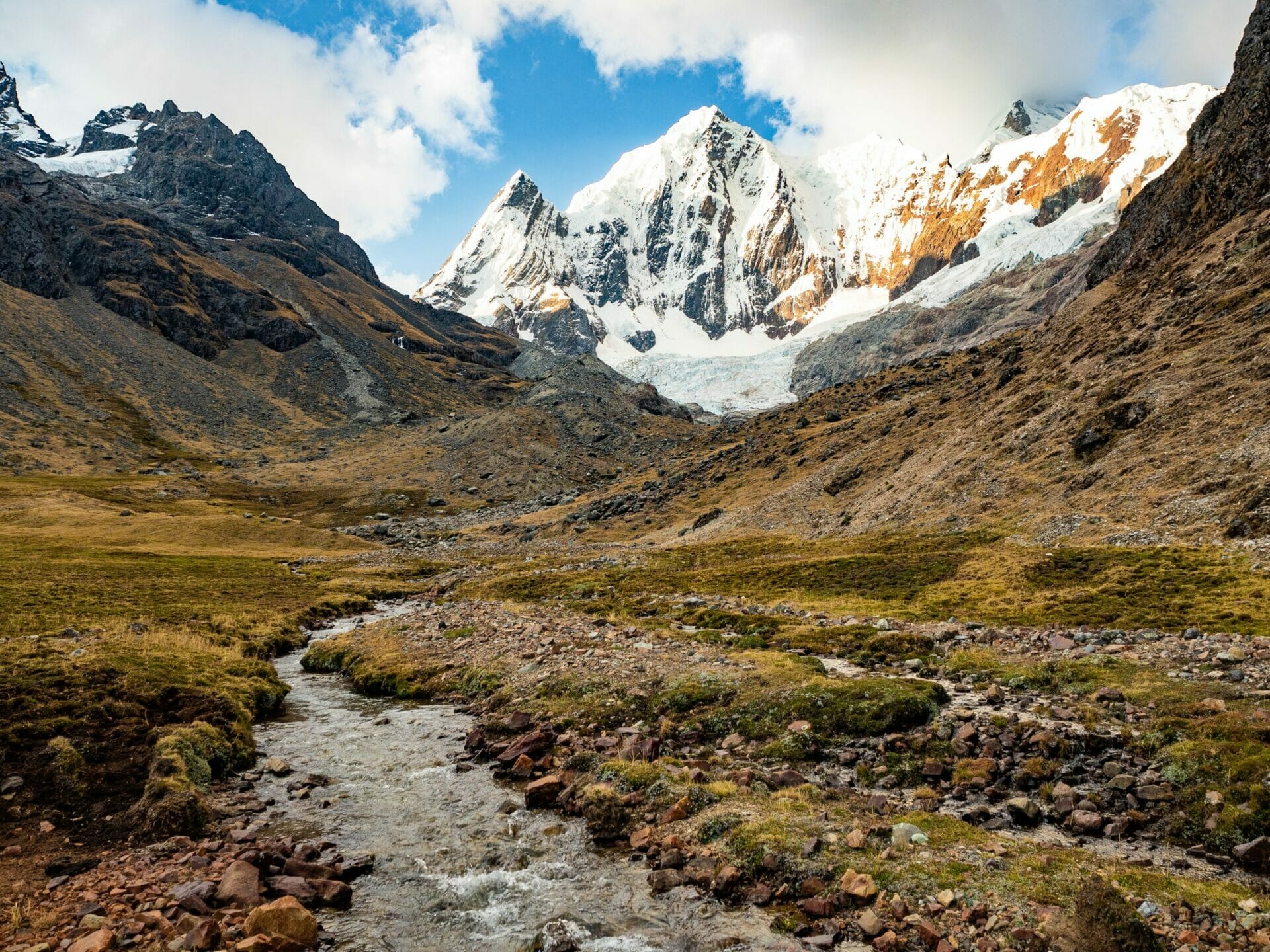
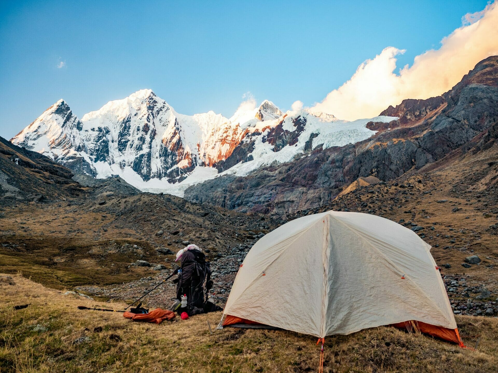
But, yet again, we reach the base of Rasac without any evidence of Eileen (or anyone, for that matter). It’s now approaching dark, we are both exhausted, and the only choice we have is to set up camp here.
I am now convinced that Eileen has gone to Huayllapa. We had tentatively discussed making it all the way to this little town tonight, and I think it would have been the safest option for her, since she has no tent or stove— but dad is worried that she might have ascended the wrong pass and still be hiking down towards us, in which case we need to keep waiting and looking for her.
After pitching the tent on the top of a little hill, the most visible place we can find, dad sets out in the dark to hike up the moraine and look down the other side, just in case someone is camped there. Finding no one, he whistles half a dozen times and then returns to the tent for dinner. He can’t fathom where Eileen and the Frenchies would have gone that we wouldn’t be able to see them, which leads him to believe that they might be camped atop the pass.


We are situated immediately below the trail junction for one of the passes (assuming Eileen waited for us in the wrong spot), but also within easy sight of the trail descending Paso Rosario (if we somehow missed her in the right spot). Dad frequently peers out the tent to look for headlamps, but we see nothing and no one all night.
Over dinner, we speculate about what could have happened to Eileen and hope that, wherever she is, she’s safe and warm. Worst case, we know that she does have a sleeping bag with her (the one she and dad share), some food, a water filter, a GPS, and the InReach emergency beacon. It never really crosses our minds that she might be worried about us.
Camped below a glacier, it’s far from the best time to be without a sleeping bag, but dad somehow makes it through the night wearing every article of clothing he packed, refilling a hot water bottle every few hours, and using our Cordillera Huayhuash map as a very ineffective blanket. I don’t think he sleeps at all, between near-hypothermia and worrying about Eileen.
Read more about the Huayhuash Circuit
HUAYHUASH CIRCUIT (DAY 1): QUARTELHUAIN TO LAGUNA MITUCOCHA
HUAYHUASH CIRCUIT (DAY 2): LAGUNA MITUCOCHA TO LAGUNA CARHUACOCHA
HUAYHUASH CIRCUIT (DAY 3): LAGUNA CARHUACOCHA TO HUAYHUASH
HUAYHUASH CIRCUIT (DAY 4): HUAYHUASH TO VICONGA
HUAYHUASH CIRCUIT (DAY 5): VICONGA TO CUYOC & PASO SAN ANTONIO
HUAYHUASH CIRCUIT (DAY 6): CUYOC & PASO SAN ANTONIO TO LAGUNA JURAUCOCHA
HUAYHUASH CIRCUIT (DAY 8): RASAC TO HUAYLLAPA
HUAYHUASH CIRCUIT (DAY 9): HUAYLLAPA TO YAUCHA PUNTA
HUAYHUASH CIRCUIT (DAY 10): YAUCHA PUNTA TO QUARTELHUAIN VIA RONDOY PUNTA
THE ULTIMATE GUIDE TO INDEPENDENT & SOLO HIKING THE HUAYHUASH CIRCUIT IN PERU
SOLO HUAYHUASH CIRCUIT PACKING LIST: WHAT TO PACK FOR 10 DAYS WITHOUT A GUIDE

The Comments
Doris
Hi Brooke!
Your trip looks absolutely amazing and a life-changing experience, and I’ve booked a spontaneous trip this June. I was hoping to follow your exact itinerary but this particular day seems a little dicey, navigation wise. In hindsight now, would you still recommend this day or would you say, ‘skip it.’
I can’t seem to find any other info of this section of the trail in other blogs so I’m a little nervous!
I would love any insight if you have a spare minute 🙂
Thanks!
brooke
DorisHi Doris,
I can’t recommend this trek highly enough, you’re so right that it is life-changing! This particular day was definitely tough, but I think that’s largely due to our own communication mix-up within the party– actually getting up and over the pass wasn’t too difficult and it was amazing to experience a part of the range that most people don’t get to see (hence why you don’t see it described elsewhere or included on guided tours)! As long as you have a GPS and good maps, I’d still recommend it 🙂
xx bb