
Peaks of the Balkans (Day 4): Gacaferi to Milishevc via Zavoj Pass
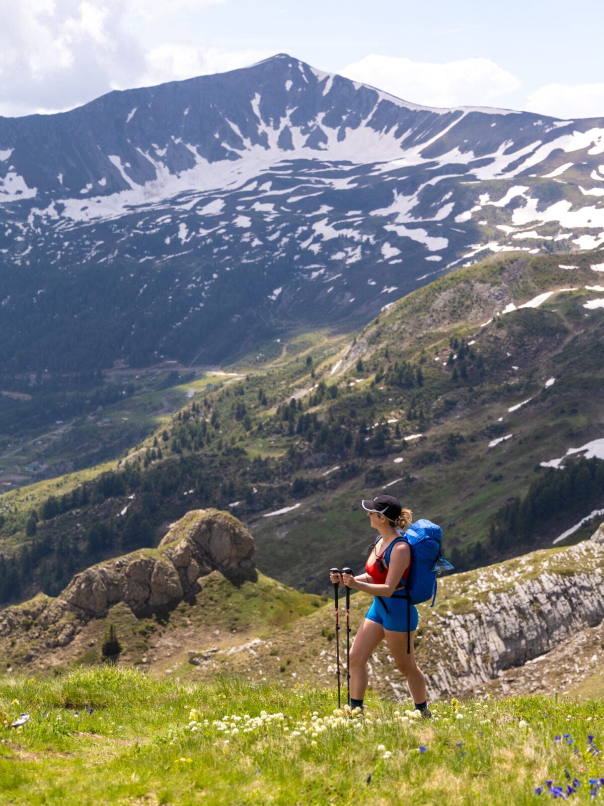
After the challenge of summiting Gjeravica yesterday (and Zla Kolata a couple of days before that), Day 4 offers a relaxed journey through the scenic borderlands of Kosovo and Montenegro. Rejoining the standard Peaks of the Balkans route at Bogice Pass, the trail traverses a series of seven wildflower-encrusted mountain passes, follows broad ridgelines beneath looming peaks, and eventually descends to the small village of Milishevc.
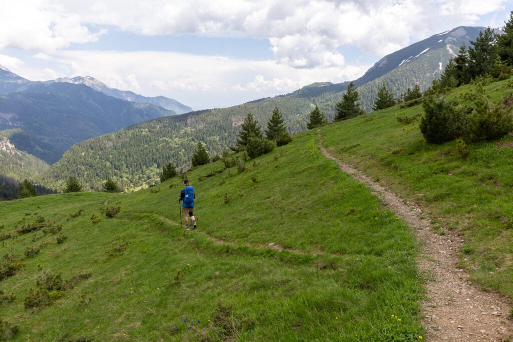
Although the views are truly impressive and the terrain is quite pleasant, navigation can be surprisingly tricky due to faint trails, overgrown vegetation, and confusing junctions. I plotted what I believe is the most sensible route through this notoriously confusing section, ascending to Zavoj Pass and overlapping briefly with Day 7 of this itinerary (albeit in the opposite direction), so keep your GPS handy throughout!
This comprehensive guide to Day 4 of Peaks of the Balkans contains detailed section times, route recommendations, adventurous side trips, and heaps of insider tips— use it to plan your hike & then refer back on the trail so you always know what to expect!
>>> Read my Peaks of the Balkans hiking guide for the full 12-day adventure itinerary
Peaks of the Balkans: Day 4 overview
- trail time: 6hrs
- distance: 19km
- elevation: 670m gain / 800m loss
- side summits & variations: rejoin standard route at Bogice Pass + high ridgeline route over Zavoj Pass
*Trail times reflect the time we spent hiking, excluding extended breaks where we removed our backpacks to eat lunch, swim in alpine lakes, or otherwise luxuriate along the trail. These figures are best used to understand realistic hiking times between major waypoints, but we definitely recommend building in 1-2hrs of additional daily leisure time to properly enjoy the route!
Gacaferi to Bogice Pass (1hr)
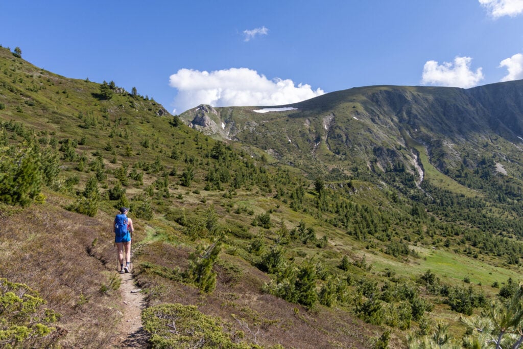
Leaving the peace of Gacaferi behind, ascend the northwest slopes above the guesthouse on a faint trail through the forest, crossing several streams along the way.
The first of the day’s many navigational challenges begins to emerge here, particularly after the small lake around 2.2km, where the trail becomes faint and easy to lose amongst the vegetation. Keep a close eye on your GPS through this section, since I do have the correct route on my map!
>>> Download my custom Peaks of the Balkans GPS track
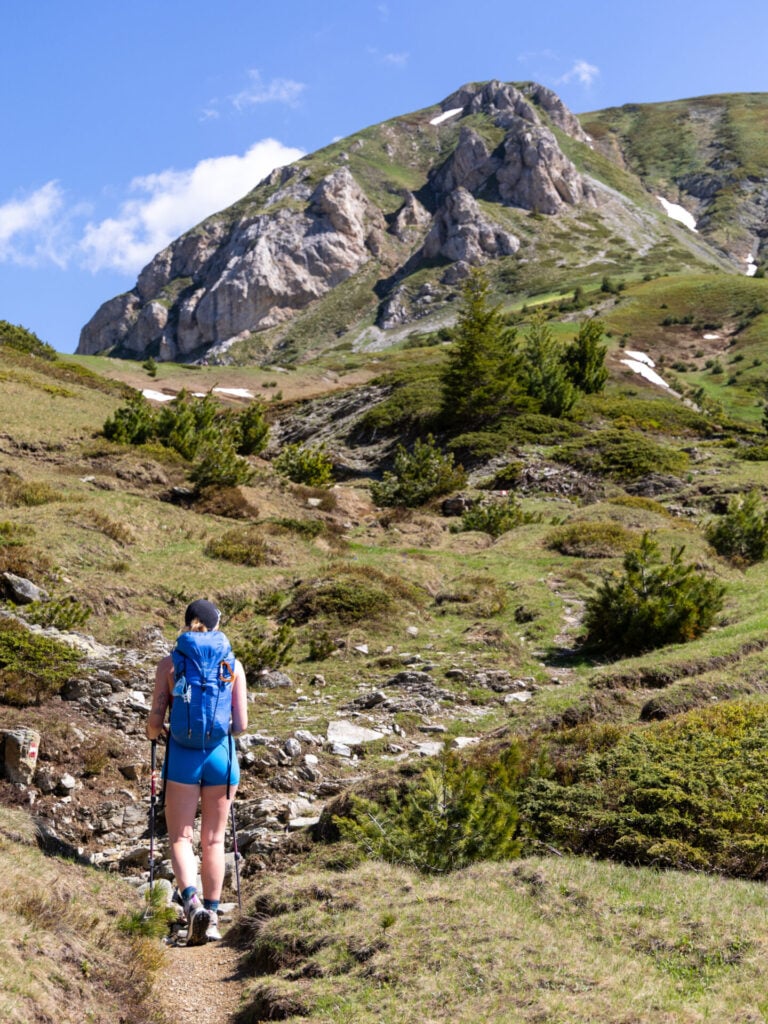
As the trail climbs above the valley, look back for impressive views of Gjeravica dominating the skyline behind you. A little over an hour and just under 300m of elevation gain from Gacaferi, rejoin the standard Peaks of the Balkans route at Bogice Pass (2,100m), briefly crossing into Montenegro.
Bogice Pass to Roshkodol Pass (1.5hrs)
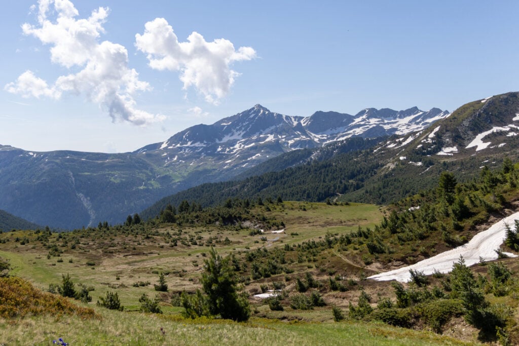
From Bogice Pass, ascend gradually for about 15min along a wide gravel road as it nears the impressive rocky face of Maja e Madhe before crossing back into Kosovo at Belega Pass (2,195m).
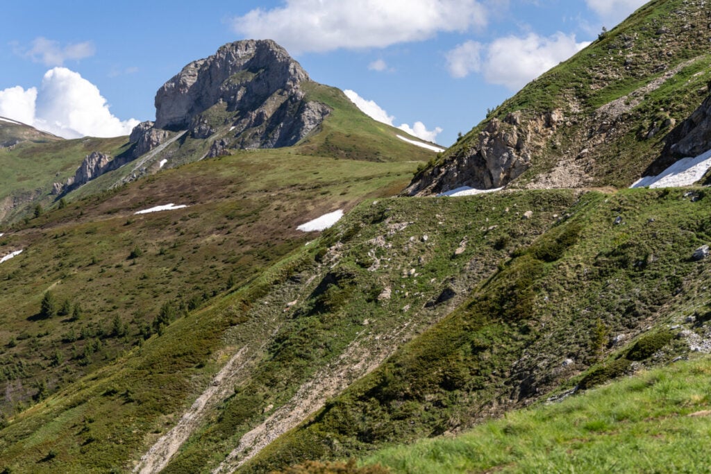
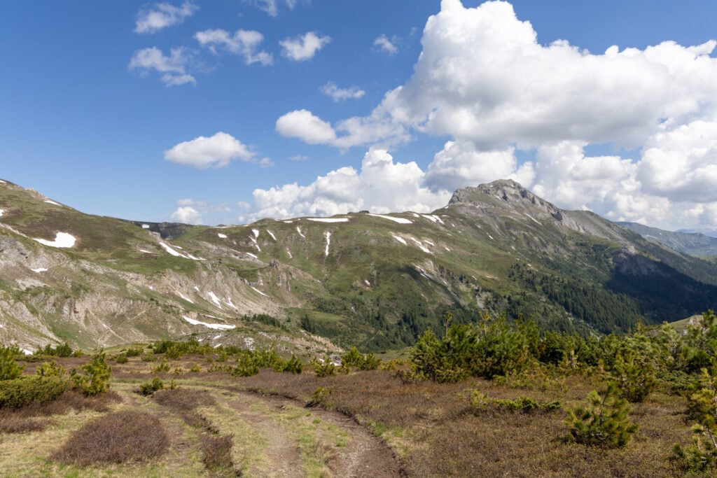
Skirting the right side of the peak, follow a dirt trail just above the road, which loses about 100m rather steeply before beginning the last major climb of the day up to the high point at Roshkodol Pass (2,250m).
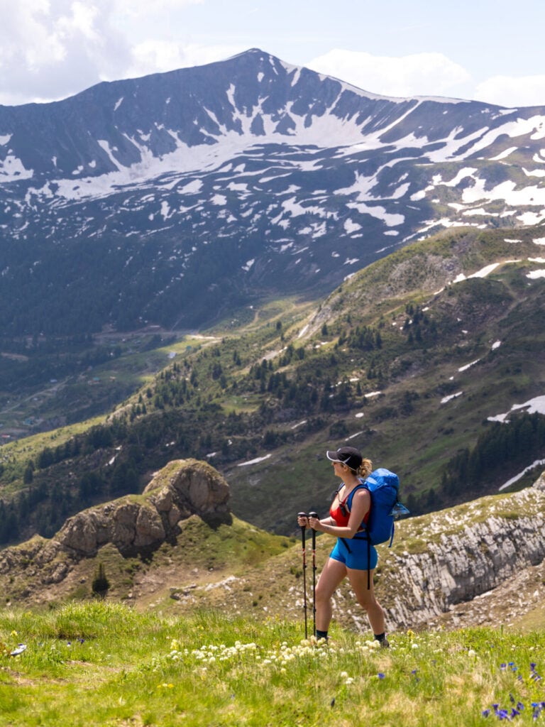
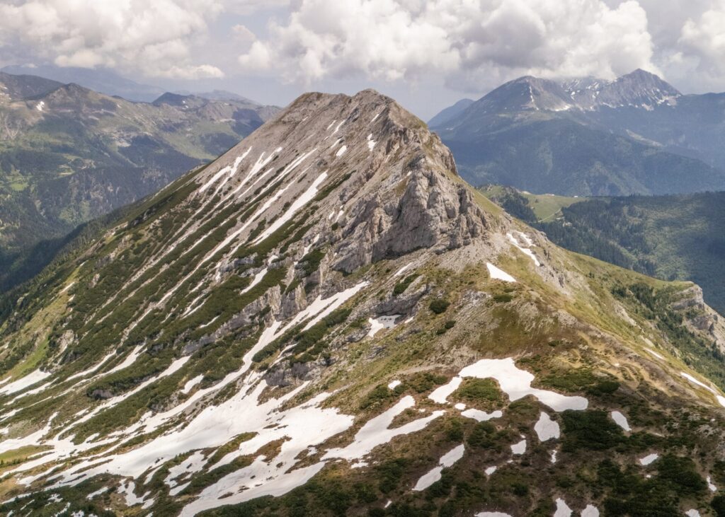
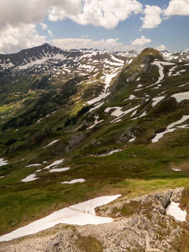
Reached approximately 7km after setting out from Gacaferi, the pass sits below Maja e Rupës and offers expansive views across the surrounding mountains, including Gjeravica. Ascend just a few minutes off the trail and into the rocks for a fantastic lunch spot!
Roshkodol Pass to Zavoj Pass (45min)
With most of the day’s modest elevation gain behind you (only about 150m remains over the next 11km), follow a gently undulating trail beneath the ridgeline to reach Zavoj Pass (2,150m) in around 45min. There’s a shaded wooden shelter here, as well as ample space to spread out in the meadow and enjoy the beautiful views.
Note that the “official trail” heads off right about one-third of the way between Roshkodol and Zavoj Passes, but even with both of us holding a GPS and actively looking for the turn, it was nearly impossible to spot.
The route I’d already mapped out on CalTopo avoids this turn and instead maintains elevation along the right side of the ridgeline, so we carried onwards to Zavoj Pass— and based on feedback we got from other hikers who did drop into the valley, we absolutely made the right call.
Though the valley route is a few kilometres shorter, it’s exceptionally poorly maintained, loses and gains a few hundred extra metres of elevation, and involves a fair bit of road walking, none of which appealed to us. The high route isn’t perfect either, but with a good GPS track (and constant vigilance!), you can arrive in Milishevc without any bushwhacking or unnecessary detours.
Zavoj Pass to Bajrakut Pass (1hr)
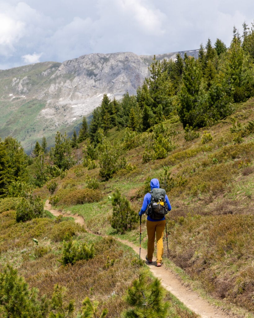
Beyond Zavoj Pass, descend into a muddy forest that is occasionally complicated by snow patches and overgrown trees extending into the trail. It’s surprisingly slow-going, but another 45min from Zavoj, arrive at the rather unassuming Bajrakut Pass, little more than a grassy clearing with a yellow sign.
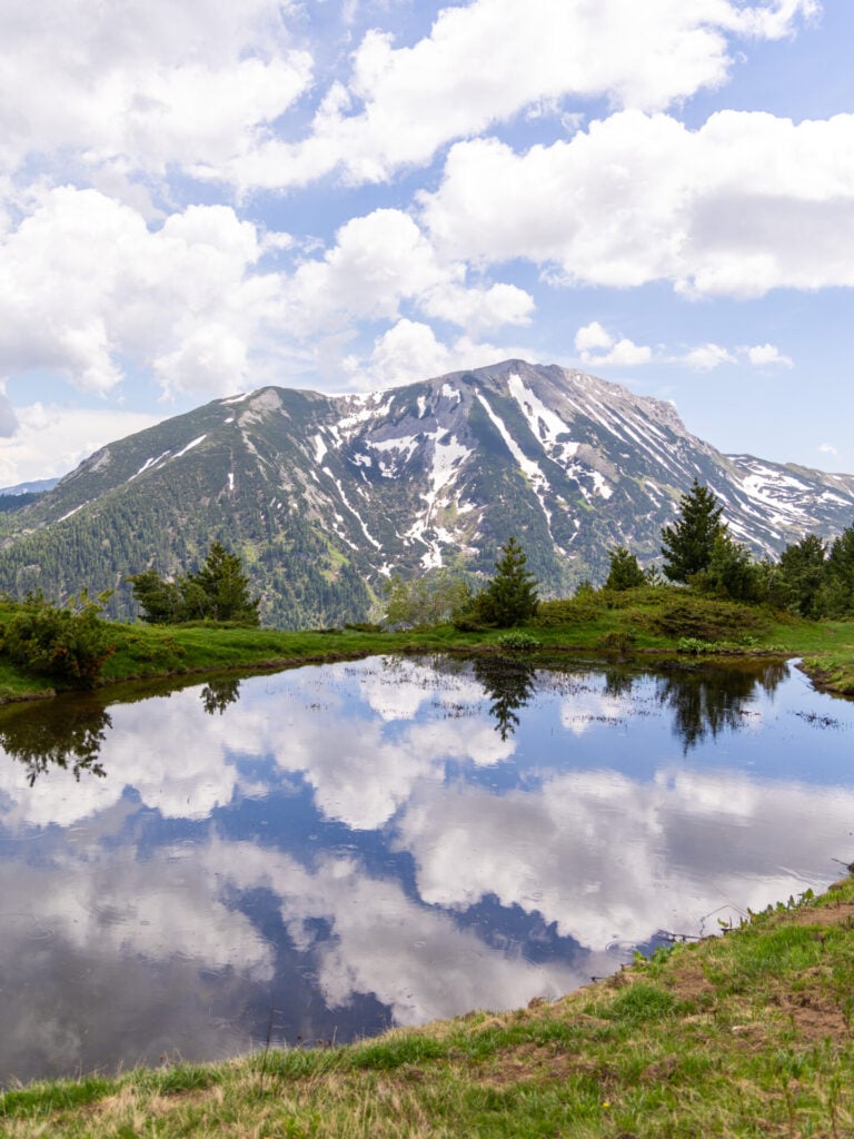
From here, the trail wraps left around the peak Maja e Bajrakut for just 10min to a second grassy pass with a beautiful reflective pond. In the absence of better information, I’m simply referring to this as the 2nd Bajrakut Pass.
Bajrakut Pass to Milishevc (1.75hrs)
At the 2nd grassy Bajrakut Pass, the most direct route to Milishevc drops about 100m on a series of steep switchbacks just behind the pond. This is one of the most confusing parts of the day, with well-defined trails (that aren’t shown on the topo) leading confidently in the wrong direction while the desired turn is nearly invisible in the grass.
Watch the GPS super carefully through this section, as each of the three major switchbacks is incredibly easy to miss, but they ARE shown correctly on the map.
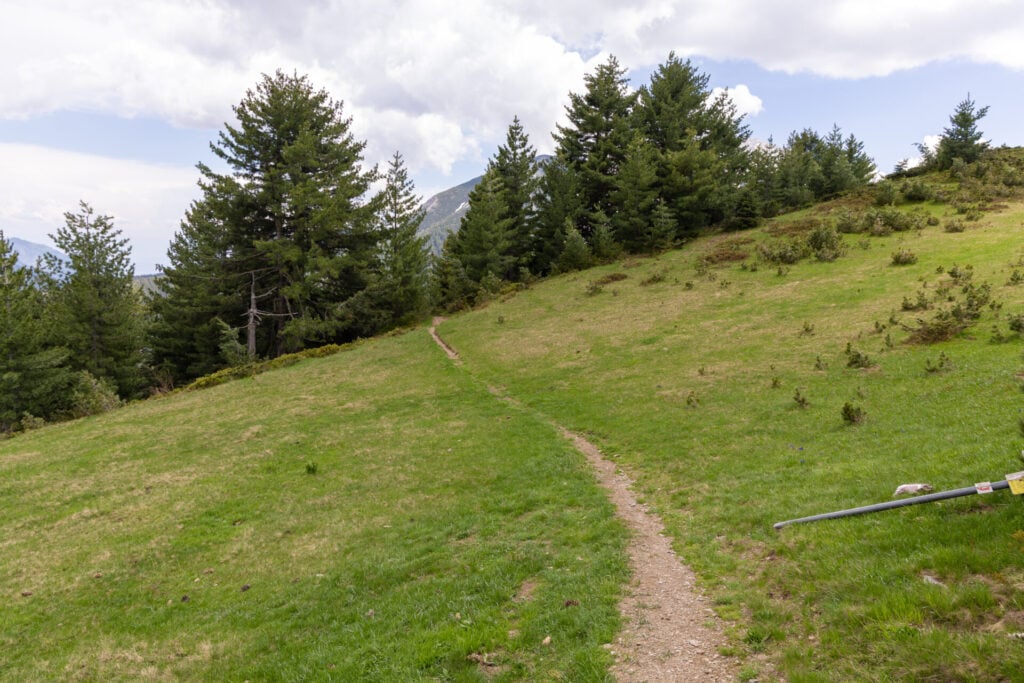
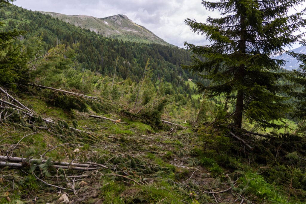
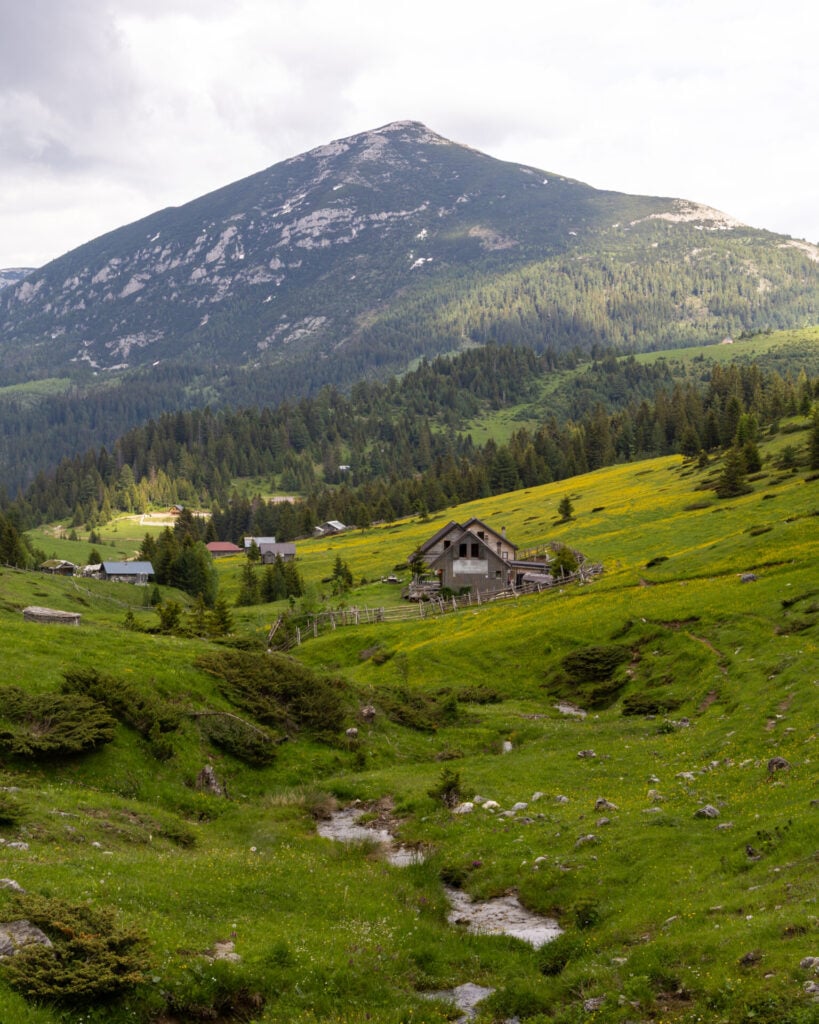
Past the switchbacks, descend rapidly through a thick forest and avalanche debris (downed trees) that require a little creativity to move around, finally emerging into the clearing of Kryqit Pass (1,858m). From this final pass of the day, it’s just 2km (around 30min) down a steep gravel road into Milishevc.
Night 4: Chalet Rrusta
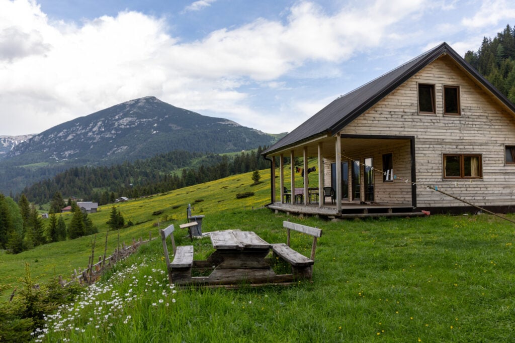
Situated alongside the river in Milishevc, the charming little Chalet Rrusta consists of a small handful of private rooms with shared bathrooms and a dorm room with about 8 single beds. With hot showers, comfy mattresses, and decent wifi, we found this to be excellent value and easily one of our favourite guesthouses along Peaks of the Balkans!
Do note, however, that private rooms appear to be allocated on a first-come/first-served basis, and once these fill up, you’ll be stuck in the dorm for the exact same price (30€ per person for half board). If having a private room is important to you, it’s worth arriving earlier in the afternoon!
The hearty soup, crispy rice, and chicken served for dinner were absolutely delightful, and the owner’s daughter even brought out rakija (a traditional spirit made from plums) for after-dinner sipping. It was one of those wonderfully relaxed yet social evenings that perfectly captured the hospitality of the Balkans!
>>> Contact Chalet Rrusta on WhatsApp to reserve a room (+41 76 223 53 39)
For more information on guesthouses, check out this post: Peaks of the Balkans guesthouses: what to expect & how to book (+ best 2026 guesthouses)


Read all of my Peaks of the Balkans posts
- start here >>> Peaks of the Balkans hiking guide & 12-day itinerary
- accommodation >>> best guesthouses on Peaks of the Balkans & what to expect
- Day 1: Valbona to Çerem via Prosllopit Pass + Zla Kolata summit
- Day 2: Çerem to Dobërdol
- Day 3: Dobërdol to Gacaferi via Gjeravica summit
- Day 4: Gacaferi to Milishevc via Zavoj Pass
- Day 5: Milishevc to Rekë e Allagës + Via Ferrata Shpellat
- Day 6: Rekë e Allagës to Drelaj via Hajla summit
- Day 7: Drelaj to Babino Polje
- Day 8: Babino Polje to Plav
- Day 9: Plav to Vusanje via Bora Peak
- Day 10: Three Peaks Loop, Prokletije National Park
- Day 11: Vusanje to Theth via Buni Jezercës + Maja Bojës summit
- Day 12: Theth to Valbona
- navigate confidently on & off the trail >>> Peaks of the Balkans GPS map
- essential gear >>> Peaks of the Balkans packing list
