
Peaks of the Balkans: the ultimate 12-day hiking route & complete planning guide
Last Updated on 5 October 2026
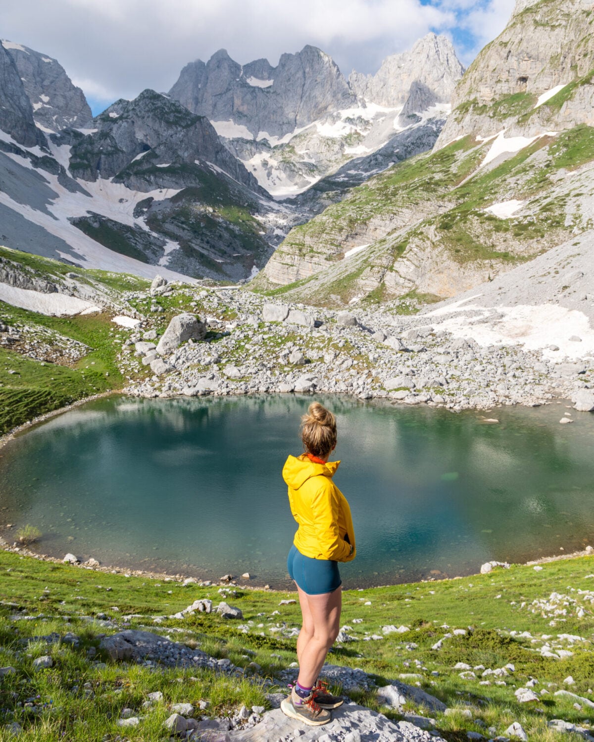
Traversing the remote borderlands of Albania, Montenegro, and Kosovo, Peaks of the Balkans is one of Europe’s newest and most spectacular long-distance hikes. Over the course of more than 200km, the trail winds through rugged limestone towers, glittering glacial lakes, remote shepherd settlements, and dramatic karst landscapes of the Accursed Mountains to deliver a route that rivals popular hikes like AV1 and the Tour du Mont Blanc— with just a fraction of the visitors!
Always eager to maximise our experience, I set out to create the ultimate 12-day Peaks of the Balkans adventure route featuring seven additional summits, spectacular route variations through remote valleys, and countless side-trips that showcase the very best of this circuit.
This comprehensive Peaks of the Balkans guide contains everything you need to plan your own adventure, including my custom 12-day hiking itinerary (plus recommended 5/7/10-day alternatives), daily route descriptions, and essential information on border permits, transport logistics, guesthouse recommendations, and exactly what to expect on the trail!
This post contains affiliate links, which means I may earn a small commission if you book something I recommend, at no extra cost to you. I ONLY recommend tours, rentals and places I’ve personally used (or would happily book again) — your support helps keep this site going and the adventures rolling!
About the Peaks of the Balkans
Officially opened in 2011, Peaks of the Balkans is a 200km circular hiking route through the Accursed Mountains of Albania, Montenegro, and Kosovo. The trail was developed as a way to bring sustainable tourism to historically isolated areas and reconnect traditional mountain communities across borders that were once heavily restricted— and on both counts, it’s been a massive success!


Today, hikers can cross freely between all three countries on foot, exploring a landscape of rugged limestone peaks, deep valleys, and wildflower-spattered meadows before ending each day in a quaint family-run guesthouse. Experiencing legendary Balkan hospitality with huge helpings of traditional food, a cozy bed, and a hot shower is a big part of what makes this route so special!
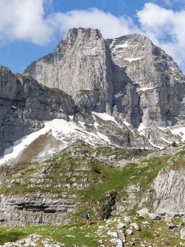
According to local legend, the Accursed Mountains (“Prokletije”) were created by the devil himself after escaping hell for a single day of earth-side mischief. But despite the ominous name, this corner of the Balkans contains some of the most enchanting and underrated mountain scenery on the European continent!
About my Peaks of the Balkans route
- Starting point: Valbona, Albania
- Trail time: 12 days
- Distance: 218km (135mi)
- Elevation gain: 13,000m (43,000ft)
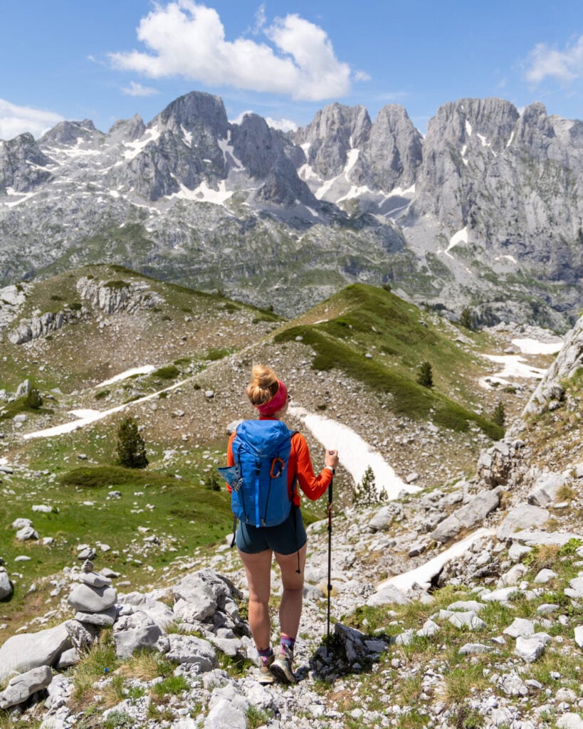
With many of the highest summits and most spectacular landscapes of the Accursed Mountains laying just beyond the official trail, I set out to design the ultimate Peaks of the Balkans adventure route that would incorporate all these highlights into a single itinerary.
After more than a year of intensive research spent poring over maps, scouring scant online resources, and consulting local guides, I hiked the final version of this route in June 2026 and I’m delighted to share the result: a unique 12-day itinerary you won’t find ANYWHERE else!
For hikers looking to experience the absolute best of the Accursed Mountains, this adventure route adds seven summits (including the highest peaks in both Montenegro and Kosovo), spectacular route variations through Buni Jezercës and Grebaje Valley, and countless exhilarating side-trips, all while preserving the best elements of the original circuit.
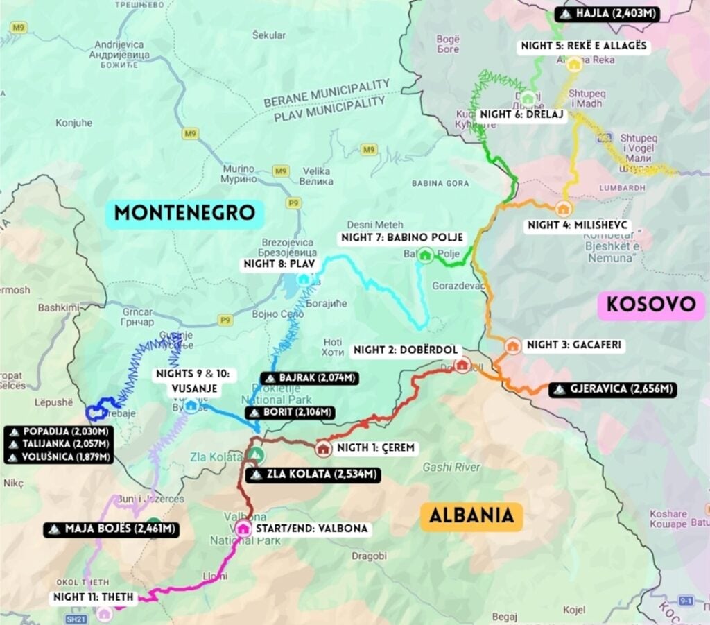
Though my itinerary adds just 30km and 3,000m of elevation to the classic trail, expect several long mountain days, occasional Class 2–3 scrambling, and increased navigational demands. This route is best suited to experienced hikers who are comfortable venturing beyond the well-trodden path in search of a bigger adventure!
(And for those who just want to keep it simple, don’t worry— you can still use this guide for the standard route!)
Highlights of my custom Peaks of the Balkans route include:
* Prosllopit Pass and Zla Kolata (2,534m), the highest peak in Montenegro
* Gjeravica (2,656m), the highest peak in Kosovo
* Via Ferrata Shpellat in Rugova Canyon
* Hajla Peak (2,370m), one of the best ridgeline hikes in the region
* The Three Peaks Loop in Grebaje Valley, the best day-hike in Montenegro
* Buni Jezercës (Great Valley of Lakes), the most spectacular alpine basin in the Accursed Mountains
* Maja Bojës (2,461m), one of the best summit viewpoints in the entire range
>>> Read my daily route descriptions below for heaps of detail on this itinerary!
Essential planning info
When to hike Peaks of the Balkans
The main hiking season for Peaks of the Balkans runs from June through September, with peak summer (more hikers + more heat) in July and August. During this period, all guesthouses are open, weather is fairly stable, and high passes are largely free of snow.
It’s also possible to hike in May or October, but these shoulder-season months come with greater uncertainty. Snow can linger on the higher passes well into spring (or return early in autumn), temperatures are considerably cooler, and some guesthouses close outside the main trekking season. The scenery, however, is reportedly spectacular in the autumn, and you’ll likely enjoy huge swathes of the trail entirely to yourself!
❄️ OUR EXPERIENCE HIKING IN JUNE
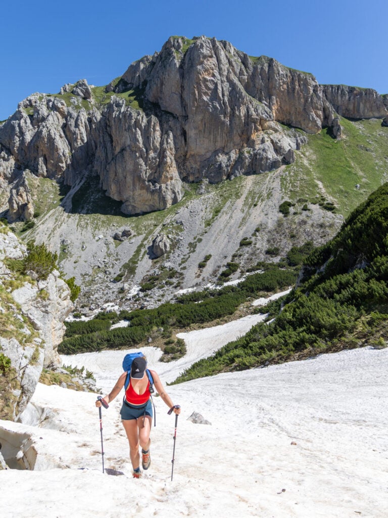
We started Peaks of the Balkans on 6 June 2026 and, though it’s certainly not typical for this time of year, we contended with a MASSIVE amount of snow across high passes and summits. Microspikes, poles, and considerable previous experience on snow made these sections manageable for us, but most other hikers had to amend their itinerary. Even guided groups cancelled their planned summits due to challenging snow!
If you’re hiking outside of peak summer, you should be prepared for anything. Local guesthouse owners like Adriatik from Gacaferi (+377 44 675 468) and Agron from Triangle Woodhouse (+49 179 3886101) are an excellent resource for checking current trail conditions. And when there’s snow present, microspikes and poles do make a huge difference!
>>> Read more about snow conditions on the trail below
Peaks of the Balkans resources & maps
My custom GPS route
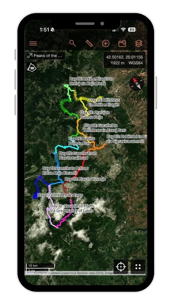
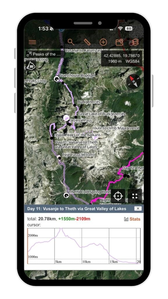
The absolute BEST navigational resource is my custom Peaks of the Balkans GPS map! Built through extensive research and our personal experience hiking the trail, this map is packed with 140+ specific waypoints & crazy-detailed trail notes to help you navigate safely, on and off the classic route.
The map is available as a JSON & GPX download, and is compatible with all major GPS mapping devices/watches AND inexpensive GPS apps available on your smartphone, like CalTopo and Gaia GPS. Let me help you plan and confidently navigate Peaks of the Balkans!
My custom Peaks of the Balkans map includes:
- Complete daily GPS tracks following my custom 12-day Peaks of the Balkans itinerary (+ tracks for the standard route)
- 7 epic side-summits, including the tallest peaks in Montenegro & Kosovo
- 20 recommended & alternate guesthouses to support flexible planning
- Strategic route modifications designed to eliminate long road walks and maximise alpine scenery
- 140+ map items, including daily tracks, side trips, border crossings, trail junctions, transfer points & other key waypoints to help you navigate
Cicerone guidebook
Rudolf Abraham’s Trekking the Peaks of the Balkans is the primary English-language guidebook for the trail. I’ve used Cicerone guidebooks for many long-distance trails in the past, but I have to say that I found this one rather disappointing— the route descriptions make a poor attempt at turn-by-turn directions (which never translate well into text), while lacking all the broader geographical context I really wanted about the mountains, valleys, and notable geological landmarks along the route.
The historical and cultural background information is certainly interesting, but for route planning and on-the-ground navigation, a GPS track is far more valuable.
Starting points for Peaks of the Balkans
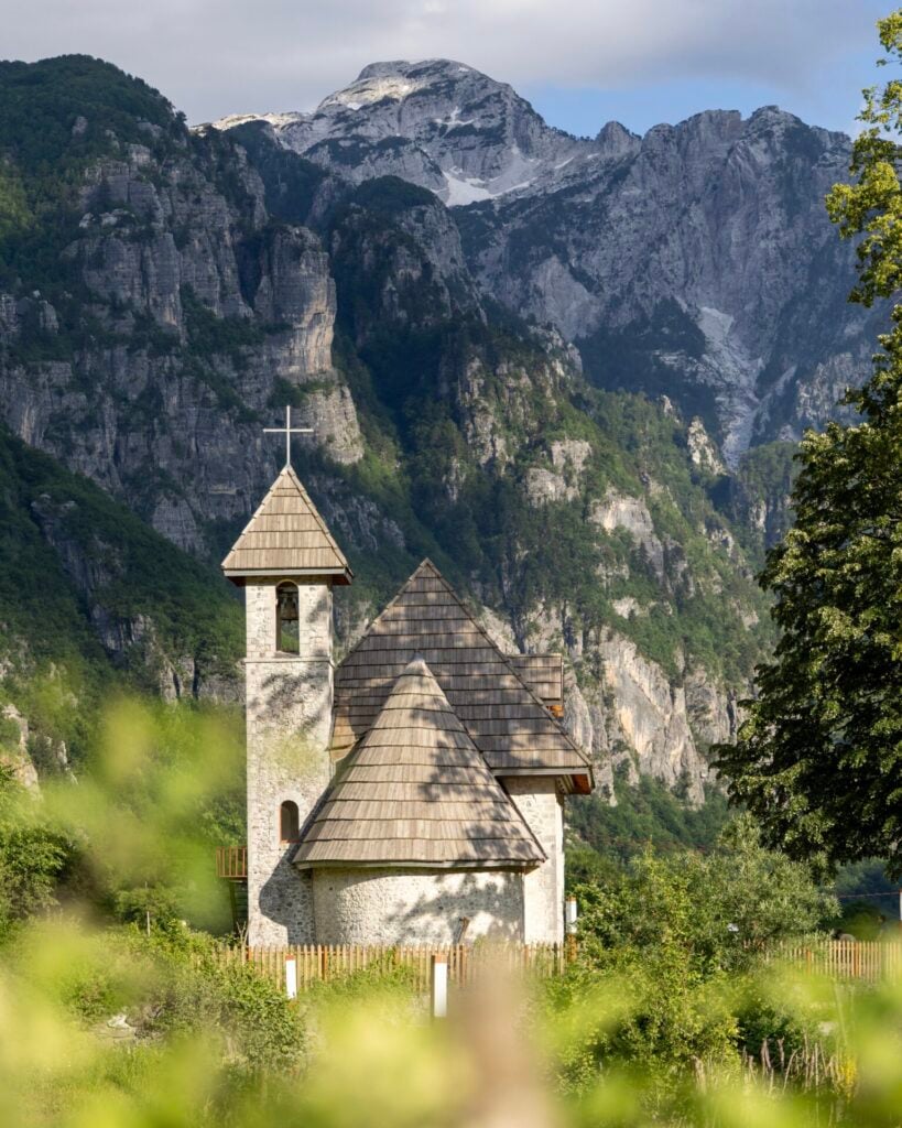
Although you can technically begin Peaks of the Balkans from any settlement along the route, there are four main starting points that hikers tend to choose from:
Theth, Albania
- Getting there: 1hr bus/taxi from Tirana Airport to Shkodër + 3hr shuttle to Theth
- Pros: most popular starting point on the circuit; excellent hiking infrastructure, guesthouses, transport options, and trail information
- Cons: day 1 from Theth to Valbona is incredibly busy, which can feel like a poor introduction to the route
- Adapting this itinerary, your first day would be: Day 12 from Theth to Valbona
⭐️ Valbona, Albania
- Getting there: 1hr bus/taxi from Tirana Airport to Shkodër + 7hrs to Valbona via the spectacular Komani Lake ferry
- Pros: the most scenic start to the trek on Komani Lake, plus a spectacular Day 1 on the trail; good infrastructure with many guesthouses; less touristy than Theth
- Cons: slightly more complicated logistics (but still very manageable!)
- Your first day would be: Day 1 from Valbona to Çerem via Prosllopit Pass + Zla Kolata summit
🥾 BEGINNING THE HIKE IN VALBONA VS THETH
Albania is usually the most logical starting point for Peaks of the Balkans, and ultimately, we chose to start this itinerary in Valbona for three main reasons:
>>> The Komani Lake ferry is an incredible way to begin the hike: having taken this ferry several times over the years, we can definitively say that the Komani Lake ferry is one of Albania’s most memorable travel experiences and a suitably dramatic start to your adventure!
>>> Snow conditions on the descent into Valbona: snow often lingers on Valbona Pass (1,795m) well into early summer, so by leaving this section until the last day of the itinerary, you’re more likely to encounter the summer trail rather than lingering snow on the winter route.
>>> Valbona Pass works better as a final day: overlapping with the most popular day hike in Albania, this is also the most crowded section of Peaks of the Balkans and it can be a slightly disappointing way to begin the route— instead, starting in Valbona positions the dramatic high route over Prosllopit Pass and a side-summit up Montenegro’s tallest mountain as an appropriately epic first day.
>>> Read more about getting to Valbona below
Plav, Montenegro
- Getting there: 4hrs bus from Podgorica Airport
- Pros: convenient for hikers travelling through Montenegro; easy access to accommodation, supermarkets, and services within town; beautiful first day on the trail
- Cons: possibly harder for connecting flights
- Adapting this itinerary, your first day would be: Day 9 from Plav to Vusanje via Bora Peak
Rekë e Allagës (via Peja), Kosovo
- Getting there: 1.5hrs bus from Pristina Airport to Peja + 45min taxi to Rekë e Allagës
- Pros: route begins much more gradually, with a lot of easy days stacked up front
- Cons: fewest international flight connections and transport options; route is also less spectacular for the first few days, with a bit of road walking
- Adapting this itinerary, your first day would be: Day 6 from Rekë e Allagës to Drelaj via Hajla summit
Hiking the route clockwise vs anticlockwise
Peaks of the Balkans can be hiked in either direction, but many guidebooks and local operators recommend anticlockwise, arguing that it makes for gentler descents by tackling some of the route’s steepest sections uphill instead.
Unless you have a specific reason to hike the loop in reverse, I’d recommend sticking with anticlockwise since you’ll be travelling with the majority of hikers— and resources like this itinerary, my GPS map, and other guidebook descriptions will be easier to use!
Border crossings on Peaks of the Balkans
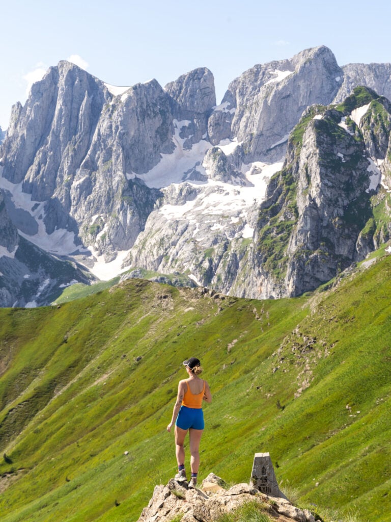
The Peaks of the Balkans circuit makes three major border crossings between Albania, Montenegro, and Kosovo. And since these crossings occur in remote, mountainous areas with no official checkpoints, you’ll require a special cross-border permit each time— essentially just documenting your planned movements across these borders so the police have an official record.
If you’re following my Peaks of the Balkans route, you’ll cross the border at all of the following locations (but only those in bold are considered “permanent” crossings):
- Day 1: Prosllopit Pass (Albania to Montenegro) + Borit Pass (Montenegro back to Albania)— doesn’t count as your “permanent crossing”
- Day 2: Vranica Pass (Albania to Montenegro) + Aljuci Pass (Montenegro back to Albania)— also doesn’t count as your “permanent crossing”
- Day 3: southern saddle of Maja Bogiçaj (Albania to Kosovo)
- Day 4: Bogice Pass (Kosovo to Montenegro) + Belega Pass (Montenegro back to Kosovo)— doesn’t count as your “permanent crossing”
- Day 7: just before Jelenka Pass (Kosovo to Montenegro)
- Day 11: just before Buni i Jezerce (Montenegro to Albania)
Cross-border permits for Peaks of the Balkans
Only “permanent” crossings require a permit, so even though my recommended route makes about nine crossings (and tap-dances back and forth across the Montenegrin and Kosovan borders several dozen times on Days 4 & 7), you only CROSS into each country once when you stay overnight. This means you will only need THREE cross-border permits to complete the entire Peaks of the Balkans route.
While Albania and Kosovo grant these permits for free and entirely electronically, the Montenegrin government charges a €6/application + €3/person fee and you must apply at a local bank within Montenegro AND THEN collect your permit at the border police station outside of Plav… To avoid the rather significant inconvenience, there are a few local companies who will handle all three border permits on your behalf and then simply email you the documentation!
We used Zbulo, who charge the lowest fee and offer a super simple booking form. For 2 hikers with 3 border permits each, we paid just 42€ (12€ in permit fees to Montenegro + 5€ per permit in administrative fees to Zbulo), so I’d say it was incredibly worthwhile!
Applying for border permits with Zbulo
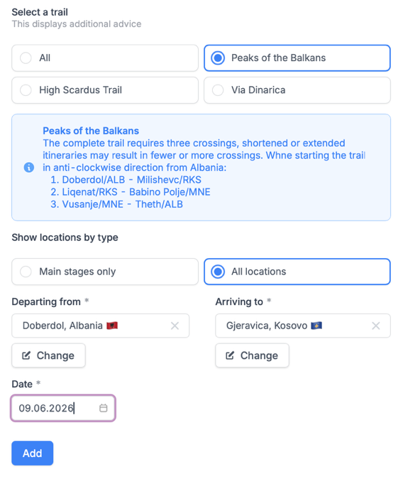
At least 2 weeks before your hike (but not sooner than 8 weeks), you can apply for your cross-border permits on the Zbulo website.
You’ll need to provide the following information:
- hiker information: full name, DOB, address, citizenship, passport details
- dates & locations for each of the three border crossings
- photo of your passport

For those following my Peaks of the Balkans itinerary, these are the crossing details you’ll need to enter (same as the standard route, except for the 1st crossing from Albania to Kosovo):
- Day 3: Dobërdol, Albania to Gjeravica, Kosovo
- Day 7: Drelaj, Kosovo to Babino Polje, Montenegro
- Day 11: Vusanje, Montenegro to Theth, Albania
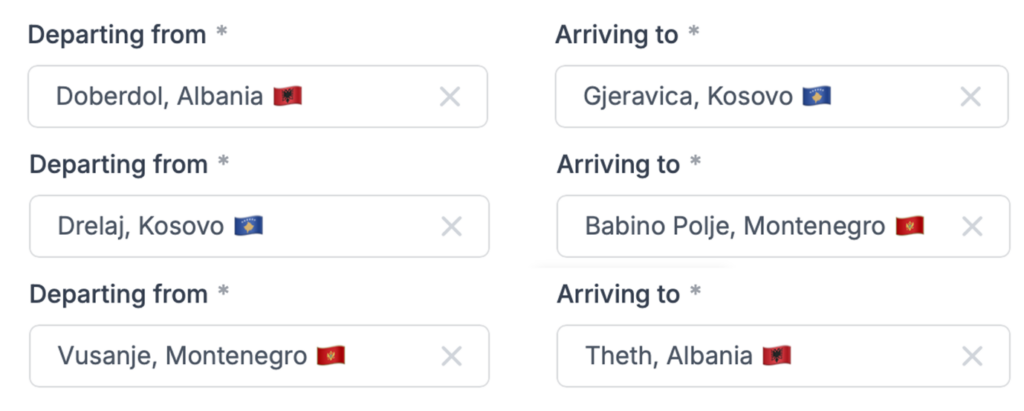
Within just a few days, we received all border crossing permits via email and were able to download them to our phones for easy access along the trail! Although no one ever asked to check them, it’s a good idea to have them saved offline just in case.
Guesthouses on Peaks of the Balkans
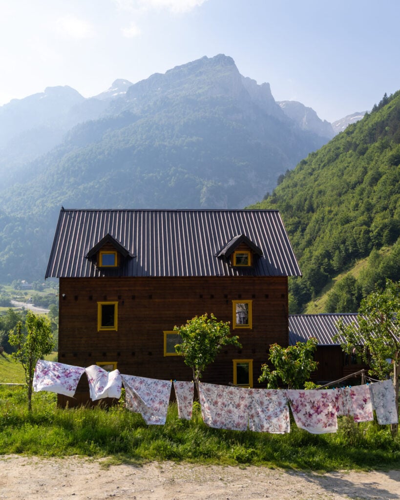
Although it’s possible to camp along Peaks of the Balkans, the hike is well serviced by charming local guesthouses, and these form a huge part of the overall experience!
Cost & inclusions
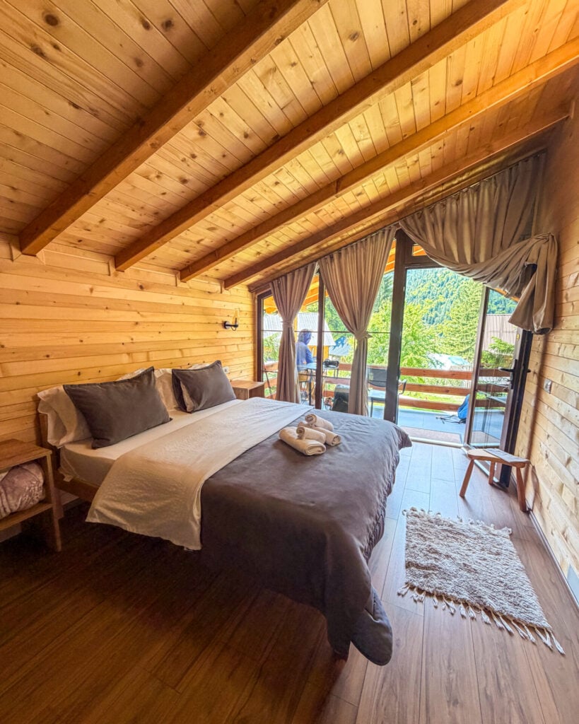
Ending every day in a family-run guesthouse with a hot shower, comfortable bed, and hearty home-cooked meal, you can expect to pay just 30-50€ per person including full board (dinner, breakfast, and a packed lunch).
Most guesthouses offer a mix of private and shared rooms, and we were easily able to get a private room every night (it seems there’s preference given to couples). Overall, we were delighted by the standard of accommodation throughout the trek— even the most remote mountain settlements had hot showers, electricity, and wifi!
>>> Read heaps more about inclusions and what to expect in my Peaks of the Balkans guesthouse guide!
Booking guesthouses on the route
Most guesthouses are booked directly through WhatsApp, Facebook, or occasionally Booking.com, and none required a deposit, making it easy to adjust your plans if your itinerary changes.
Larger towns like Valbona, Plav, and Theth have plenty of accommodation options, while some of the more remote overnight stops are limited to just one or two guesthouses. I strongly recommend planning your accommodation before you set off, especially if you’re following my custom itinerary with several unique variations. In peak summer season, 1-2 months in advance is usually best!


Recommended guesthouses on Peaks of the Balkans
The following recommendations are based on the guesthouses where we personally stayed during our 12-day hike in June 2026, along with a handful of nearby alternatives that came highly recommended by other hikers we met along the trail:
- (Night 0) Valbona: Guesthouse Demushi or Bujtina Arturi
- (Night 1) Çerem: Guesthouse Kujtim Gocaj or Alpin Chalet
- (Night 2) Dobërdol: Guesthouse Bashkimi or Bilbil Vatnikaj Guesthouse
- (Night 3) Deçan: Gacaferi Guesthouse
- (Night 4) Milishevc: Chalet Rrusta or Kulla Guesthouse
- (Night 5) Rekë e Allagës: Ariu Guesthouse
- (Night 6) Drelaj: Guesthouse Shqiponja or Guesthouse Bujtina Kaçaku
- (Night 7) Babino Polje: Triangle Woodhouse
- (Night 8) Plav: Hostel Bear Hug or Ema Guesthouse
- (Nights 9 & 10) Vusanje: Guesthouse Vucetaj
- (Night 11) Theth: Villa Gjeçaj or Bujtina Malsori or Bujtina Tinari
- (Night 12) Valbona: Guesthouse Demushi or Bujtina Arturi or ÁMZA Mountain Retreat
>>> Read super-detailed reviews for all of these guesthouses in my POB guesthouse guide!
Getting to & from the trailhead
Getting to Shkodër, Albania
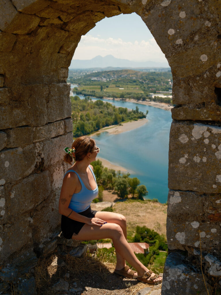
I highly recommend starting your hike from Albania for a multitude of reasons already discussed, and regardless of whether you choose Valbona or Theth, you’ll need to get to Shkodër, Albania as a first step.
We flew into Tirana International Airport and then scheduled a taxi through TOTA for the 1hr journey north to Shkodër for about 60€. There are also regular buses and minibuses operating between Tirana and Shkodër if you’re looking for a cheaper option, but the convenience of this depends heavily on your flight arrival time.


Where to stay in Shkodër
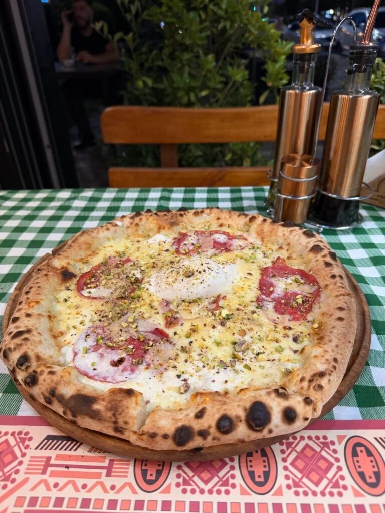
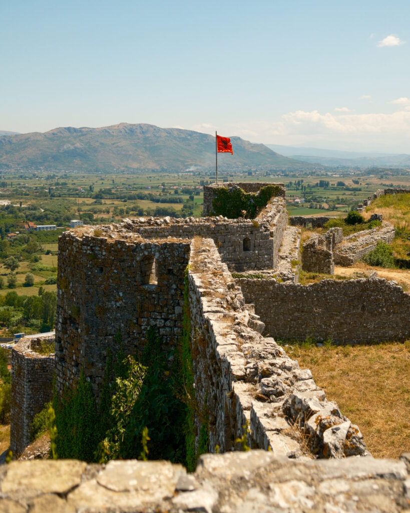
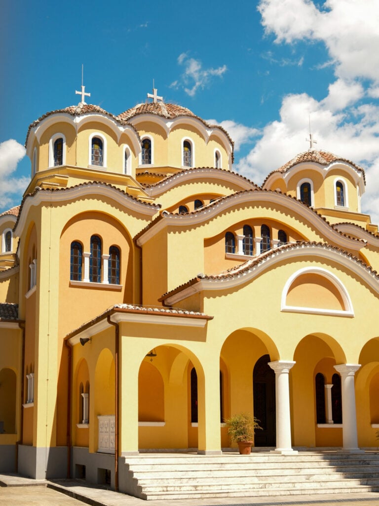
Shkodër is a compact, colourful city with a relaxed cafe culture, pedestrian-friendly streets, and heaps to do in the surrounding area. We’ve spent several weeks here over the last couple years and have really come to love Shkodër, so be sure to allow a few days in your itinerary to enjoy it!
For hikers, Shkodër is also the ideal place to prepare for Peaks of the Balkans— it’s easy to organise transport to Valbona or Theth, withdraw cash, pick up any last-minute supplies, and store excess luggage while you’re in the mountains.
Here are our favourite places to stay in Shkodër:
- NOMA Boutique Hotel: a stylish boutique property with just a handful of beautifully appointed rooms located directly on Rruga Kolë Idromeno, the city’s lively pedestrian promenade lined with cafés and outdoor bar seating. A fabulous breakfast is included in the room rate at their sister property just a few hundred metres away, Casablanca (where we’ve also stayed!). Double rooms ~ 100€ per night.
- Vila Casablanca: another elegant boutique hotel offering larger (if slightly less design-oriented) rooms while delivering the same amenities and delicious breakfast as their sister hotel! It’s a fantastic choice if you prefer a little more space without sacrificing a central location, and it’s almost always priced lower than NOMA. Double rooms ~ 80€ per night.
- Shkodra Harmony Residences: Located a 20min walk from downtown Shkodër (or just a few minutes by car), these spacious apartments are excellent value for longer stays— we spent 2 weeks here and loved it! With a full kitchen, a living room, and even a washer/dryer in the unit, it’s the perfect place to get organised before or after your trek, especially if you plan to do some cooking. 1/2-bedroom apartments ~ 40/60€ per night.
Getting from Shkodër to Valbona
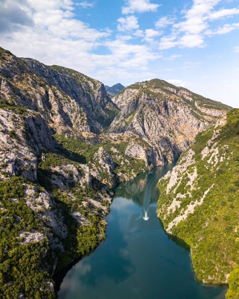
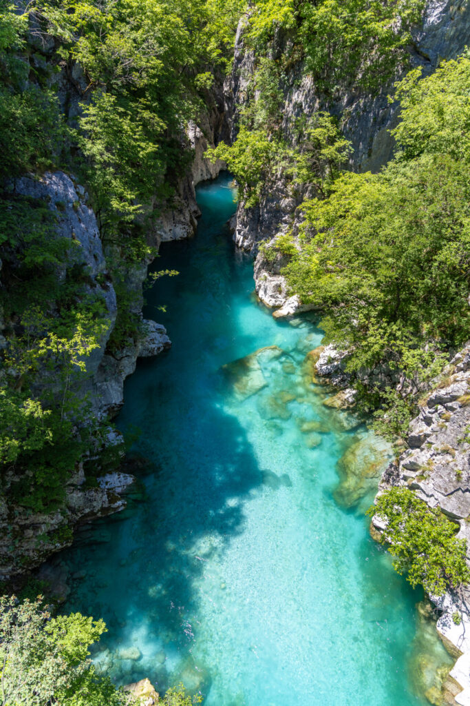
The main appeal for starting Peaks of the Balkans in Valbona is the spectacular journey across Lake Koman, a narrow turquoise reservoir winding between towering limestone cliffs in northern Albania. And thankfully, the logistics are much easier than they initially appear!
Several local companies offer packaged transport from Shkodër to Valbona that includes:
- 2hr minibus from Shkodër to Koman (departs around 6.30am)
- 2.5hr ferry from Koman to Fierza
- 1hr minibus from Fierza to Valbona (arrives around 2pm)
Most departures leave Shkodër around 6:30am from Teatri Migjeni and everything is timed to connect smoothly with minimal waiting— because everyone is travelling onwards to Valbona together, the process feels remarkably straightforward despite involving multiple transfers.
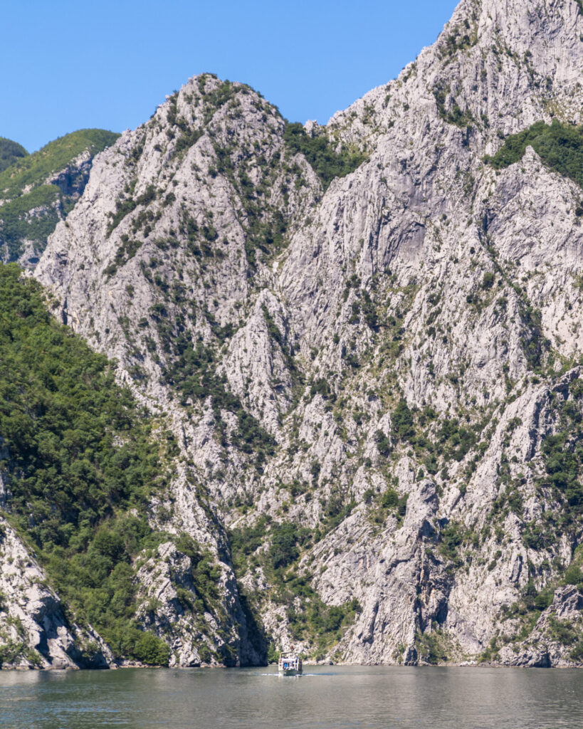
For research purposes, we used two different operators on separate journeys and found the experience almost identical. In the end, Rozafa Ferry is slightly more convenient because they’ll allow you to pay online and email you a QR code, while Xhiro N’Shkodër required cash payment and we never did get a receipt to show the ferry, which led to a bit of confusion.
Don’t be alarmed if the booking process feels slightly informal by Western European standards— this is entirely normal in Albania! Rozafa Ferry is legitimate, reliable, and everything ran like a well-oiled machine for our trip.
Where to stay in Valbona
Arriving around 2pm from Shkodër and with a long first day on the trail, you’ll need to spend at least one night in Valbona Valley before starting Peaks of the Balkans. We stayed at several properties so we could make recommendations for this post:
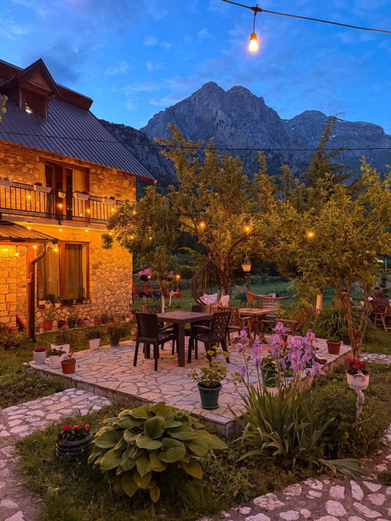
- Guesthouse Demushi: a charming stone guesthouse surrounded by colourful gardens, free-roaming chickens, and dramatic mountain scenery, Guesthouse Demushi feels like something out of a fairytale. And within an easy 10min walk of the trailhead, it’s the perfect stay before starting Peaks of the Balkans! We paid 42€ for a private room with ensuite bathroom and breakfast, and an additional 13€ per person for a hearty traditional dinner.
- Bujtina Arturi: tucked just off the main road, the charming family-run Bujtina Arturi offers several deluxe rooms in a newly constructed two-level cabin, complete with a private balcony entrance and ensuite bathroom, for just 44€ per room + 12€ per person for a delicious dinner spread.
- ÁMZA Mountain Retreat: with spectacular mountain views, beautifully designed rooms, and even an outdoor swimming pool, this is easily one of the most luxurious accommodations in Valbona. Prices range from 35€ for a dorm bed to 100€ for a private double room or 200€ for a suite with breakfast included (dinner available from the onsite restaurant).
>>> Read more detailed reviews of these & other guesthouses in my complete Peaks of the Balkans guesthouse guide!
*Detailed 12-day Peaks of the Balkans itinerary
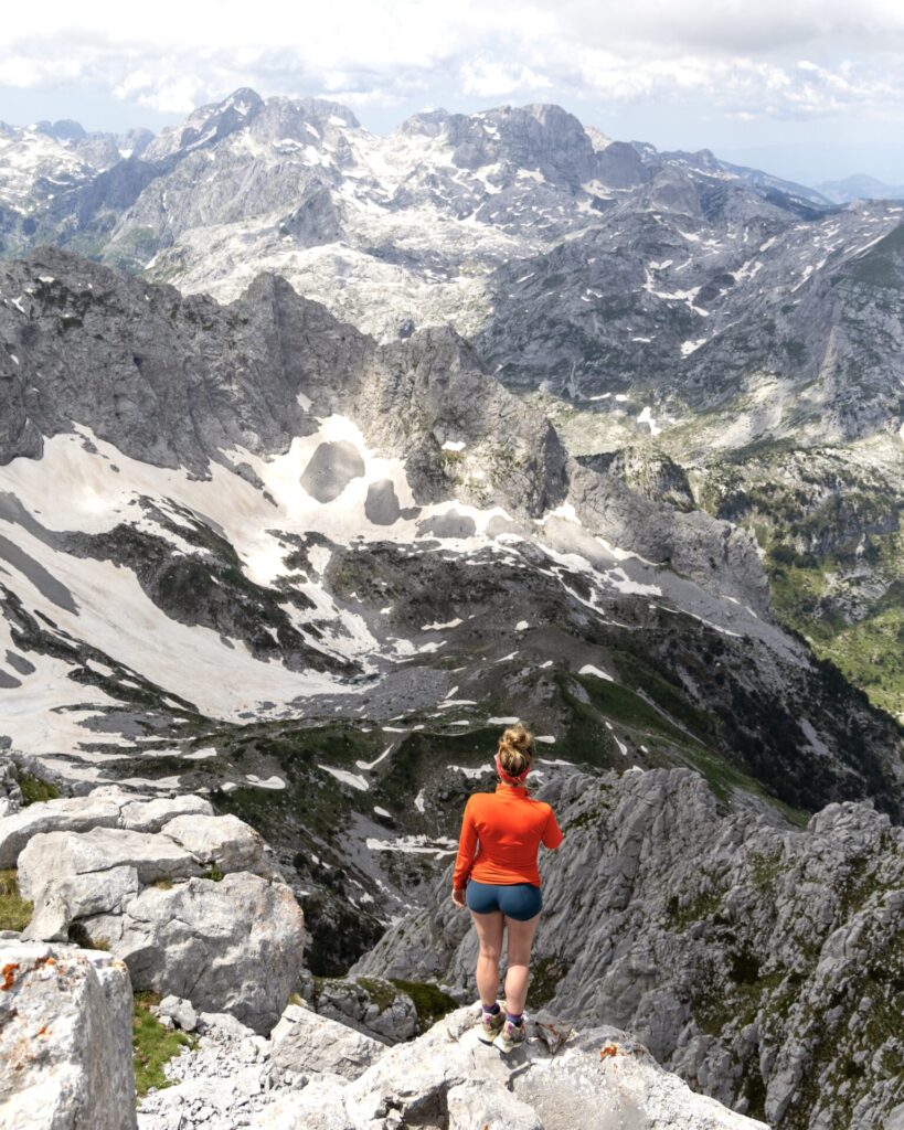
Described in detail below, my Peaks of the Balkans adventure itinerary expands the classic route into 12 epic days, incorporating as many side summits and high-route alternatives as possible. Here’s the exact day-by-day breakdown:
- Day 1: Valbona to Çerem via Prosllopit Pass + Zla Kolata summit (9.5hrs; 16km; 1675m gain)
- Day 2: Çerem to Dobërdol (5hrs; 17km; 1130m gain)
- Day 3: Dobërdol to Gacaferi via Gjeravica summit (9hrs; 18km; 1150m gain)
- Day 4: Gacaferi to Milishevc (6hrs; 19km; 670m gain)
- Day 5: Milishevc to Rekë e Allagës + Via Ferrata Shpellat (4hrs; 9km; 515m gain + 2.5hr via ferrata)
- Day 6: Rekë e Allagës to Drelaj via Hajla summit (5.5hrs; 15km; 1130m gain)
- Day 7: Drelaj to Babino Polje with transfer to Te Liqeni (5hrs; 15km; 1050m gain)
- Day 8: Babino Polje to Plav (5hrs; 20.5km; 710m gain)
- Day 9: Plav to Vusanje (5.5hrs; 22km; 1300m gain)
- Day 10: Three Peaks Loop with transfer to Grebaje Valley (4hrs; 10km; 1000m gain)
- Day 11: Vusanje to Theth via Great Valley of Lakes + Maja Bojës summit with transfer to Katun Zastan (9.5hrs; 21km; 1550m gain)
- Day 12: Theth to Valbona (5hrs; 16km; 1040m gain)
>>> For those with fewer days, check out my alternate itinerary suggestions below for the best 5-day, 7-day, and 10-day versions of Peaks of the Balkans!
Day 1: Valbona to Çerem via Prosllopit Pass + Zla Kolata summit
- trail time: 9.5hrs
- distance: 16km
- elevation: 1675m gain / 1430m loss
- overnight: Guesthouse Kujtim Gocaj or Alpin Chalet
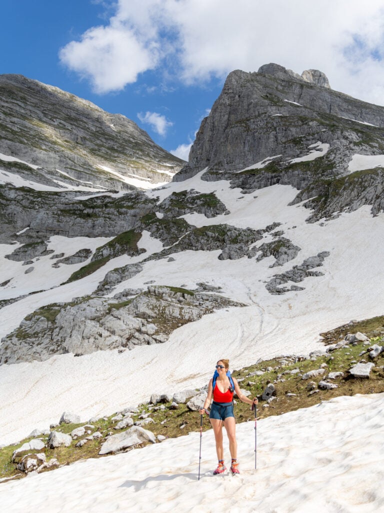
Dive headfirst into the Accursed Mountains on a challenging but truly spectacular first day. Climbing high above Valbona Valley to Prosllopit Pass, the route crosses the border to summit Zla Kolata (2,534m), the highest mountain in Montenegro, before traversing a wild limestone karst plateau and re-entering Albania at Borit Pass (1,850m) for the long descent into the small settlement of Çerem.
Although a lower valley trail connects Valbona and Çerem more directly (and with a fraction of the elevation gain), this high variant delivers some of the best scenery on Peaks of the Balkans and was easily one of our favourite days of the entire circuit! Get an early start and allow plenty of time to enjoy the jaw-dropping landscapes you’ll encounter from start to finish.
Day 2: Çerem to Dobërdol
- trail time: 5hrs
- distance: 17km
- elevation: 1130m gain / 515m loss
- overnight: Guesthouse Bashkimi or Bilbil Vatnikaj Guesthouse
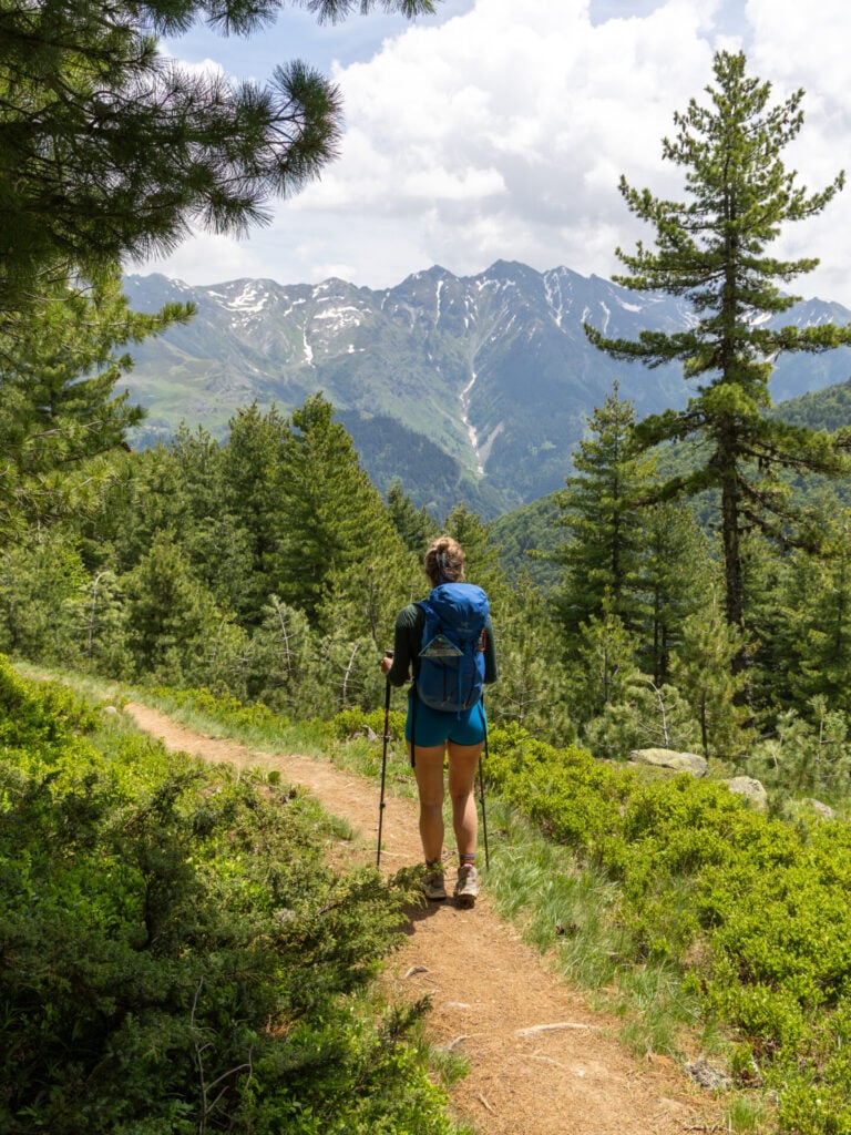
After the huge effort of Day 1 and with another long summit day looming tomorrow, follow the traditional Peaks of the Balkans route into Dobërdol for a relaxed and undemanding hike. The trail climbs gradually from Çerem across two international borders, crossing into Montenegro at Vranica Pass (1,630m) before re-entering Albania at Aljuci Pass (1,920m), the high point of the day. From here, it’s a rolling descent all the way into tonight’s remote summer settlement.
Since much of the route follows roads and gentle trails rather than dramatic mountain terrain, views are somewhat more restrained today, but it’s a great opportunity to recharge before another big push on Day 3. There’s also the opportunity toenjoy a local lunch and cold beers about halfway along the trail!
Day 3: Dobërdol to Gacaferi via Gjeravica summit
- trail time: 9hrs
- distance: 18km
- elevation: 1150m gain / 1085m loss
- border crossing: Albania to Kosovo
- overnight: Gacaferi Guesthouse
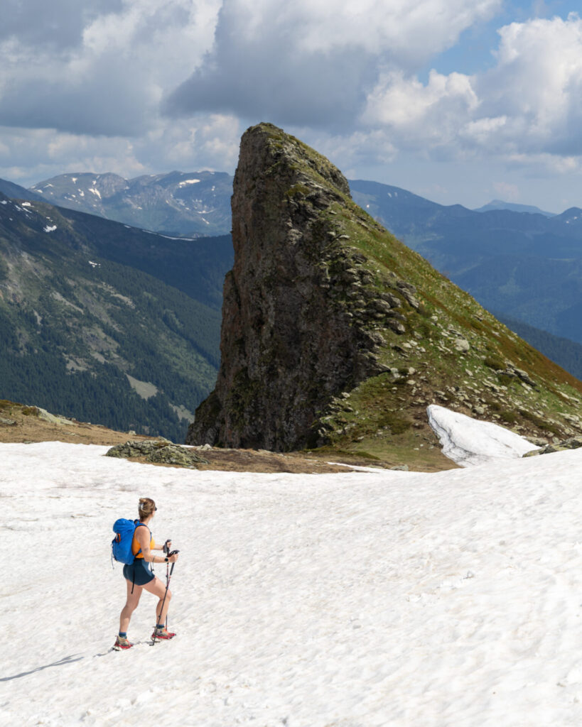
Deviating entirely from the standard Peaks of the Balkans route today, set your sights on Gjeravica (2,656m), the highest mountain in Kosovo and one of the most impressive summits in the Accursed Mountains. This is a spectacular backcountry trail boasting beautiful alpine scenery, and although it requires an extra day in your itinerary, it’s entirely worth it!
Ascending gradually through Dobërdol Valley, the route climbs steeply to Ali Peja Pass (2,280m) before contouring through a remarkable landscape of alpine basins, snowfields, and limestone ridges toward Gjeravica. The summit excursion takes about 5-6hrs return from the pass, and from here drops into a secluded valley in Kosovo for a stay at Gacaferi Guesthouse, one of our absolute favourite nights on the entire route.
Day 4: Gacaferi to Milishevc via Zavoj Pass
- trail time: 6hrs
- distance: 19km
- elevation: 670m gain / 800m loss
- overnight: Chalet Rrusta or Kulla Guesthouse
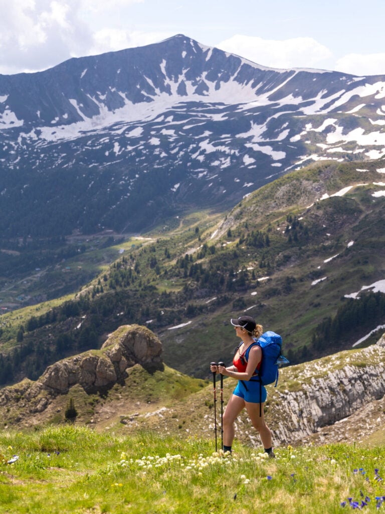
After the challenge of summiting two of the region’s highest peaks, Day 4 offers a much more relaxed journey through the scenic borderlands of Kosovo and Montenegro. Rejoining the standard Peaks of the Balkans route at Bogice Pass (2,100m), the trail traverses a series of seven wildflower-strewn mountain passes, follows broad ridgelines beneath towering peaks, and eventually descends to the small village of Milishevc.
Although the terrain is never particularly difficult, navigation can be surprisingly tricky today due to faint trails, overgrown vegetation, and confusing junctions. I plotted what I believe is the most sensible route through this notoriously confusing section, overlapping briefly with Day 7 of this itinerary (albeit in the opposite direction), so keep your GPS handy throughout!
Day 5: Milishevc to Rekë e Allagës + Via Ferrata Shpellat
- trail time: 4hrs + 2.5hr via ferrata
- distance: 9km + 3km via ferrata
- elevation: 515m gain / 1340m loss + 300m via ferrata
- overnight: Ariu Guesthouse
The shortest day of Peaks of the Balkans ascends steeply to a high point above Milishevc, traverses a broad flowered meadow beneath Guri i Kuq, and then plunges a brutal 1,300m into Rugova Canyon within just a few hours.
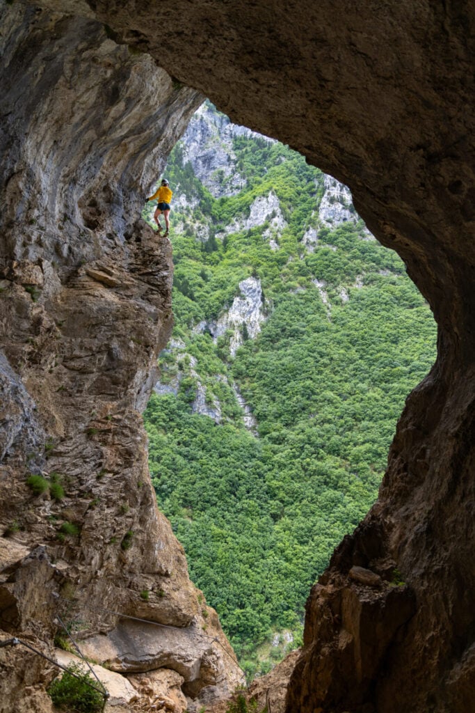
The standard route then continues along the road for 6km to reach Rekë e Allagës, but we highly recommend replacing this uninspiring section of pavement with an exhilarating side trip to Via Ferrata Shpellat. This spectacular cabled climbing route transforms an otherwise modest day of hiking into one of the most memorable adventures of the entire trek!
Day 6: Rekë e Allagës to Drelaj via Hajla Peak
- trail time: 5.5hrs
- distance: 15km
- elevation: 1130m gain / 1320m loss
- overnight: Guesthouse Shqiponja or Guesthouse Bujtina Kaçaku
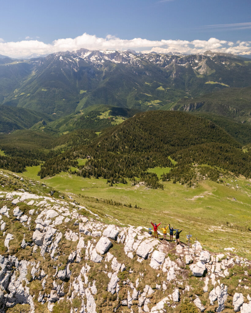
Following the standard Peaks of the Balkans route between Rekë e Allagës and Drelaj, this is another short and rather uninspiring day on the trail— but with ample time to detour up Hajla Peak and enjoy one of the finest ridgeline hikes in the Accursed Mountains!
From Rekë e Allagës, ascend 500m on a confusing mess of trails to reach Gjonit Pass before continuing upwards on a straightforward and wonderfully scenic loop along the Montenegro–Kosovo border ridge to Hajla Peak (2,370m). Although lacking in the “highest peak” superlatives of Zla Kolata or Gjeravica, the trail is impeccably marked, the views are enormous, and overall, this makes a hugely worthwhile addition to an otherwise unremarkable day.
Day 7: Drelaj to Babino Polje
- trail time: 5hrs
- distance: 15km
- elevation: 1050m gain / 1060m loss
- border crossing: Kosovo to Montenegro
- overnight: Triangle Woodhouse
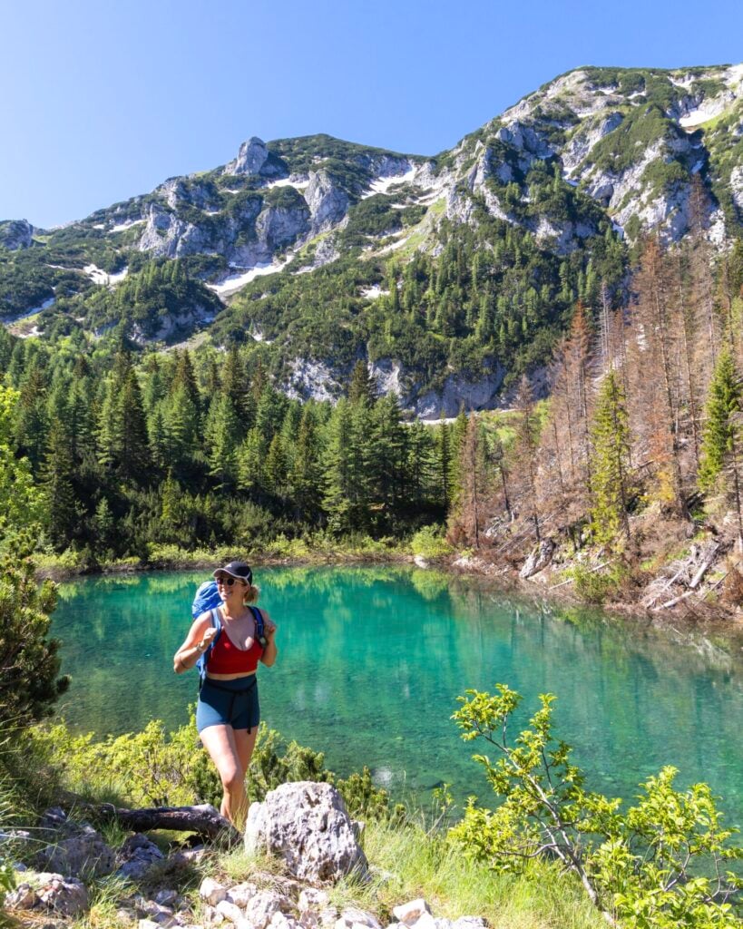
After several days of traipsing through the quieter mountains of Kosovo, Day 7 returns to the grand alpine scenery that makes Peaks of the Balkans so memorable! Catching a transfer to avoid 13km of newly paved road, a well-defined trail climbs steadily to Jelenka Pass (2,272m), the highest point on the official route, passing alpine lakes, broad mountain meadows, and dramatic limestone peaks along the way.
Although part of the route overlaps with the ridgeline traversed on Day 4, travelling in the opposite direction offers an entirely different perspective, with expansive views stretching across the borderlands of Kosovo and Montenegro.
Day 8: Babino Polje to Plav
- trail time: 5hrs
- distance: 20.5km
- elevation: 710m gain / 1260m loss
- overnight: Hostel Bear Hug or Ema Guesthouse
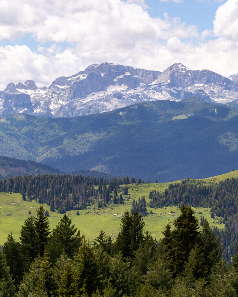
More than half of the hikers we met at Triangle Woodhouse in Babino Polje planned to skip this stage entirely with a transfer. Although it features a bit of road walking and lacks the dramatic scenery of some of the bigger mountain days, we still really enjoyed both the landscapes and the solitude through this quieter corner of Montenegro.
From the emerald shores of Hrid Lake (said to bring luck to those who swim in its chilly waters) to the expansive views across Prokletije National Park and a scenic finish beside Lake Plav, this is an undemanding and blissfully relaxed day on the trail.
Day 9: Plav to Vusanje
- trail time: 5.5hrs (or 3.5hrs with transfer to Feratovića Katun)
- distance: 22km (or 13km with transfer)
- elevation: 1300m gain / 1190m loss (or 600m gain with transfer)
- overnight: Guesthouse Vucetaj
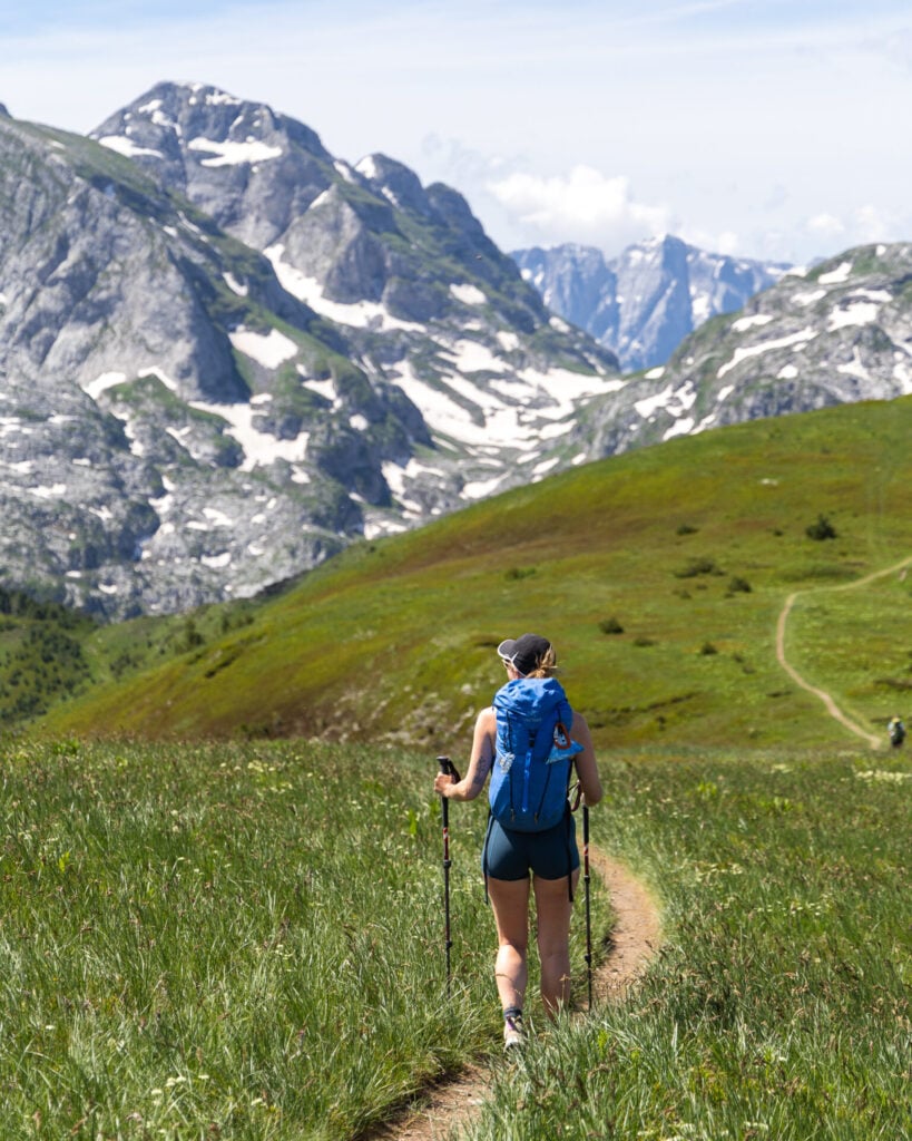
After a long ascent out of Plav, return to the heart of the Prokletije Mountains on a beautiful route between two broad summits, Bajrak and Bora. With expansive views over the Ropojana Valley, this afternoon boasts some of the biggest mountain scenery on the official Peaks of the Balkans route.
Many of the hikers we met in Babino Polje transferred directly to Vusanje via the Grebaje Valley, skipping both yesterday’s route via Hrid Lake and today’s hike entirely— but after seeing the view from Bora Peak, we honestly can’t understand why (particularly given that you can still explore the Grebaje Valley from Vusanje on Day 10 of this itinerary)!
Rather than avoiding this stage altogether, it’s possible to shorten the initial ascent from Plav by taking a transfer to the trailhead near Feratovića Katun, eliminating 9km of road walking and around 700m of elevation gain through the forest. In our opinion, this strikes the perfect balance between efficiency and experience, cutting out the least interesting section while preserving everything that makes this one of the most impressive days on the trail.
Day 10: Three Peaks Loop side-quest
- trail time: 4hrs
- distance: 10km
- elevation: 1000m gain/loss
- overnight: Guesthouse Vucetaj
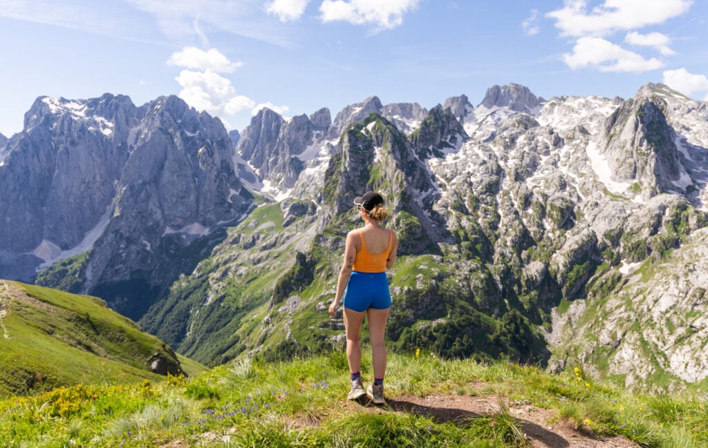
An undisputed highlight of Montenegro’s Prokletije National Park, the spectacular Three Peaks Loop lies just beyond the official Peaks of the Balkans route and features some of the most dramatic mountain scenery in the entire range. From Vusanje, it’s an easy side trip that absolutely shouldn’t be missed— the owners at Guesthouse Vucetaj can drop you off and pick you up for 60€ round-trip!
This short but impressive day hike traverses a ridgeline above Grebaje Valley, visiting the summits of Popadija (2,030m), Talijanka (2,057m), and Volušnica (1,879m) for genuinely mind-blowing views over the jagged limestone towers of the Karanfili Mountains. With huge alpine landscapes and constant views along the loop, it’s no wonder this has become one of the most popular hikes in Montenegro.
In the evening, return to Vusanje to spend a second night at Guesthouse Vucetaj before a big climb tomorrow! Alternatively, you can hike about 2hrs (6km) up the valley on a rough 4WD track to the new Guesthouse Ropojan, which perfectly positions you to begin tomorrow’s enormous effort through Buni Jezercës (the Great Valley of Lakes).
Day 11: Vusanje to Theth via Buni Jezercë (Great Valley of Lakes) + Maja Bojës
- trail time: 9.5hrs
- distance: 21km
- elevation: 1550m gain / 2110m loss
- border crossing: Montenegro to Albania
- overnight: Villa Gjeçaj or Bujtina Malsori or Bujtina Tinari
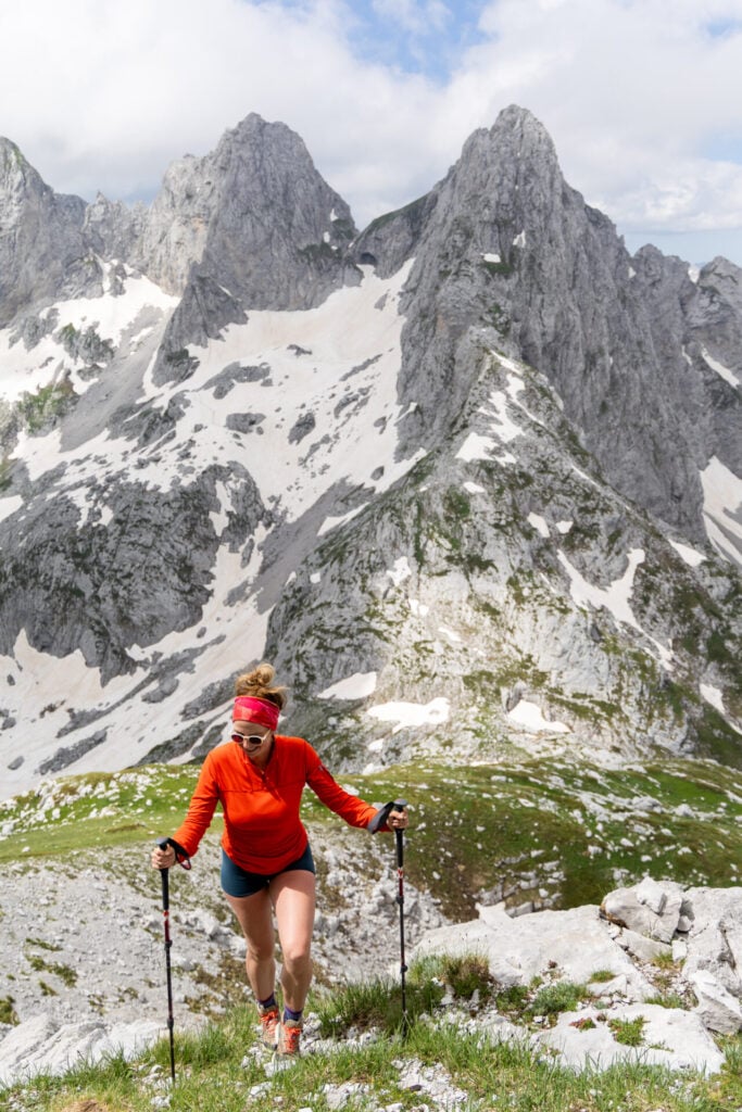
The penultimate day of this itinerary is perhaps the most spectacular of all, swapping the first 10km of the standard Peaks of the Balkans route for an extended exploration of the remote Great Valley of Lakes (Buni Jezercës) that includes one of the best summits in the region, Maja Bojës (2,461m).
True to its name, this high glacial basin boasts six turquoise lakes scattered beneath a rugged cirque of limestone peaks and dolomitic spires. Even after reconnecting with the standard route through Ropojana Valley, dramatic karst landscapes and panoramic mountain views dominate the approach to Pejë Pass.
Detouring through this lesser-visited corner of Albania and up to the summit of Maja Bojës effectively doubles the elevation gain and loss compared to the traditional route, but for those determined to experience the absolute best of the Accursed Mountains, it’s truly worth ALL the effort!
Day 12: Theth to Valbona
- trail time: 5hrs
- distance: 16km
- elevation: 1040m gain / 920m loss
- overnight: Guesthouse Demushi or Bujtina Arturi or ÁMZA Mountain Retreat
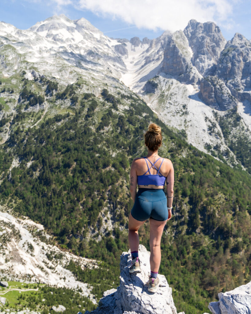
The trail between Theth and Valbona is undoubtedly Albania’s most famous hike, linking the country’s two most beautiful mountain valleys via the spectacular Valbona Pass (1,795m). Before embarking on Peaks of the Balkans, we assumed this would be a highlight of the entire route— but this final stage didn’t even crack our top five days on the trail!
After 200km spent wandering through remote valleys and quiet mountain passes, the popularity of this route comes as a bit of a shock. The scenery is undeniably beautiful, but the crowds do detract somewhat from the wilderness experience that made so many of the previous days feel special. An early start is highly recommended to avoid the busiest and hottest part of the day at the pass.
Arriving back into Valbona around lunchtime, it’s time to celebrate completing Peaks of the Balkans!!
Alternate itinerary suggestions
Recognising that not everyone has 12 days to complete this itinerary in its entirety, we spent a lot of time discussing how we’d condense our favourite parts of the trail into shorter itineraries for those tight on time (or maybe even for a future group hiking trip!).
While it’s always difficult to make cuts to what I believe is THE perfect route, Peaks of the Balkans does lend itself readily to alterations— the route is more of a stacked figure-8 than a loop, nearly doubling back on itself at several points and even overlapping entirely for 4km on days 4 & 7.
As such, there are seemingly endless ways to shorten, flip, or otherwise personalise the itinerary I’ve presented here, but these are our specific recommendations:
10-day Peaks of the Balkans adventure
With 10 days to hike the best version of Peaks of the Balkans, you’ll need to eliminate 2 days from my recommended 12-day itinerary, and this is what I’d suggest:
- Skip Theth to Valbona (Day 12): overlapping with the most popular day-hike in Albania, the trail over Valbona Pass is the absolute busiest day on the entire route and, although gorgeous, it’s not better than anything you’ll have already seen. Finishing in Theth also makes onward travel much easier, replacing the 7hr shuttle–ferry–shuttle journey back to Shkodër with a simple 3hr bus ride.
- Transfer from Babino Polje to Plav (Day 8): This is one of the easiest stages to bypass by vehicle and, conveniently, the route also features comparatively less dramatic mountain scenery and a fair bit of road walking that you certainly won’t miss. I’d recommend staying in Babino Polje on Night 7 as originally recommended, organising a morning transfer to Plav through Agron at Triangle Woodhouse, and then immediately start hiking to Vusanje, which is a gorgeous trail very much worth doing!
The resultant 10-day itinerary would look like this:
- Day 1: Valbona to Çerem via Prosllopit Pass + Zla Kolata summit (9.5hrs; 16km; 1675m gain)
- Day 2: Çerem to Dobërdol (5hrs; 17km; 1130m gain)
- Day 3: Dobërdol to Gacaferi via Gjeravica summit (9hrs; 18km; 1150m gain)
- Day 4: Gacaferi to Milishevc (6hrs; 19km; 670m gain)
- Day 5: Milishevc to Rekë e Allagës + Via Ferrata Shpellat (4hrs; 9km; 515m gain + 2.5hr via ferrata)
- Day 6: Rekë e Allagës to Drelaj via Hajla summit (5.5hrs; 15km; 1130m gain)
- Day 7: Drelaj to Babino Polje with transfer to Te Liqeni (5hrs; 15km; 1050m gain)
Day 8: Babino Polje to Plav (5hrs; 20.5km; 710m gain)SKIP WITH ROAD TRANSFER- Day 8
Day 9: Plav to Vusanje (5.5hrs; 22km; 1300m gain) - Day 9
Day 10: Three Peaks Loop with transfer to Grebaje Valley (4hrs; 10km; 1000m gain) - Day 10
Day 11: Vusanje to Theth via Great Valley of Lakes + Maja Bojës summit with transfer to Katun Zastan (9.5hrs; 21km; 1550m gain) Day 12: Theth to Valbona (5hrs; 16km; 1040m gain)END HIKE IN THETH
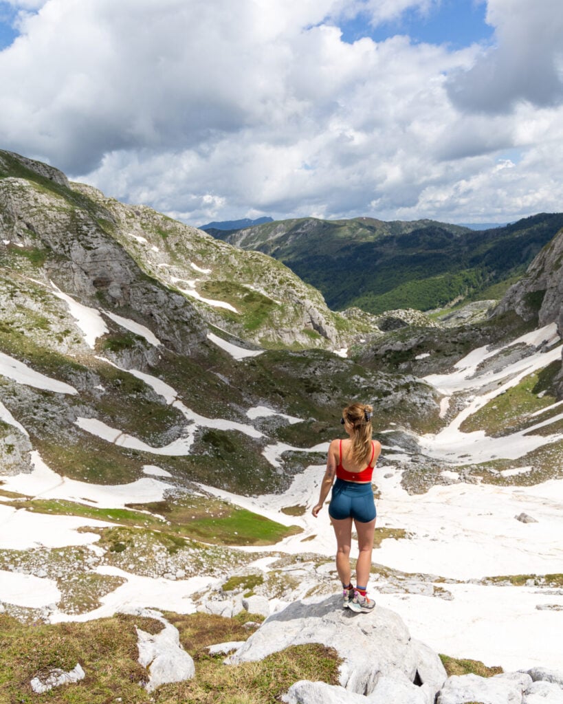
7-day Peaks of the Balkans adventure
With just one week, I’d recommend transferring from Milishevc to Te Liqeni, effectively skipping Days 5 & 6 and the paved road section at the start of Day 7 (which I also recommend bypassing in the full itinerary).
Sadly, you’ll also have to cut either the Three Peaks Loop OR the Gjeravica summit, since each of these side-trips require an entire day. Both are incredible highlights of my route, so it won’t be an easy choice!
- Three Peaks Loop is the less demanding of the two, showcasing spectacular limestone ridges and some of Montenegro’s absolute BEST scenery, but it requires a 60€ return transfer from Vusanje because it’s entirely off the main route.
- Gjeravica is a longer and more physically demanding day, but it follows the route naturally and doesn’t require any additional transport. It also includes a night at Gacaferi Guesthouse, which was one of my favourite guesthouses on the entire trek!
A recommended 7-day itinerary would look something like this:
- Day 1: Valbona to Çerem via Prosllopit Pass + Zla Kolata summit (9.5hrs; 16km; 1675m gain)
- Day 2: Çerem to Dobërdol (5hrs; 17km; 1130m gain)
- Day 3: Dobërdol to Gacaferi via Gjeravica summit (9hrs; 18km; 1150m gain) SKIP THIS OR THREE PEAKS
- Day 4: Gacaferi to Milishevc (6hrs; 19km; 670m gain)
Day 5: Milishevc to Rekë e Allagës + Via Ferrata Shpellat (4hrs; 9km; 515m gain + 2.5hr via ferrata)Day 6: Rekë e Allagës to Drelaj via Hajla summit (5.5hrs; 15km; 1130m gain)- Day 5
Day 7: DrelajTe Liqeni to Babino Polje (5hrs; 15km; 1050m gain) TRANSFER TO TE LIQENI ON DAY 5 TO START HIKE Day 8: Babino Polje to Plav (5hrs; 20.5km; 710m gain)SKIP WITH ROAD TRANSFER- Day 6
Day 9: Plav to Vusanje (5.5hrs; 22km; 1300m gain) Day 10: Three Peaks Loop with transfer to Grebaje Valley (4hrs; 10km; 1000m gain)SKIP THIS OR GJERAVICA- Day 7
Day 11: Vusanje to Theth via Great Valley of Lakes + Maja Bojës summit with transfer to Katun Zastan (9.5hrs; 21km; 1550m gain) Day 12: Theth to Valbona (5hrs; 16km; 1040m gain)END HIKE IN THETH
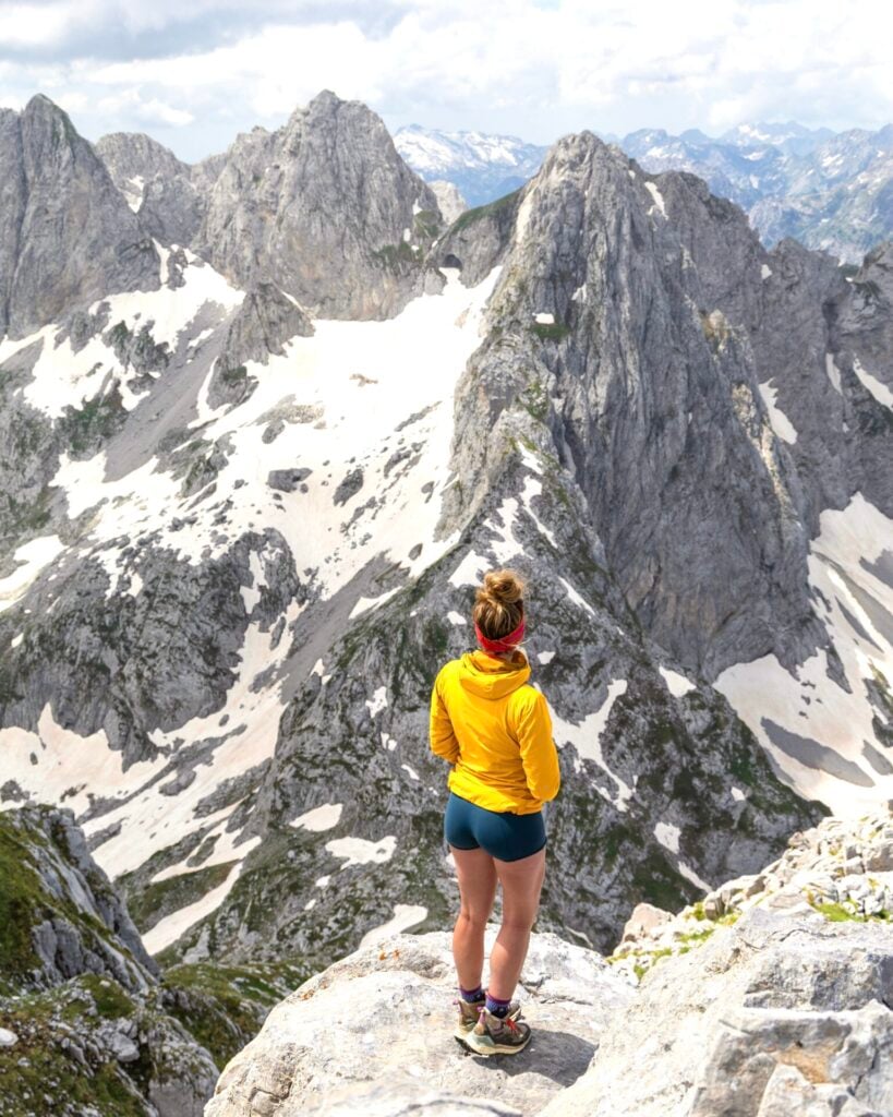
5-day Peaks of the Balkans adventure
Finally, to get just a quick taste of the Balkans in 5 days, I’d recommend a condensed route through Montenegro and Albania, beginning in Plav and finishing in Valbona (before taking the spectacular Komani Lake ferry back to Shkodër).
Despite covering less than half of the full itinerary, this route still showcases some of the very best scenery in the Accursed Mountains and minimises road walking while combining seven spectacular summits, two unforgettable day hikes, and my five favourite valleys of the entire trek: Ropojana, Grebaje, Buni Jezercë, Theth, and Valbona.
- Day 1: Plav to Vusanje (5.5hrs; 22km; 1300m gain)
- Day 2: Three Peaks Loop with transfer to Grebaje Valley (4hrs; 10km; 1000m gain) + Vusanje to Katun Zastan/Guesthouse Ropojan (2hrs; 6km; 380m gain)
- Day 3: Katun Zastan to Theth via Great Valley of Lakes + Maja Bojës summit (9.5hrs; 21km; 1550m gain)
- Day 4: Theth to Valbona (5hrs; 16km; 1040m gain)
- Day 5: Zla Kolata summit (8hrs; 13km; 1600m gain)
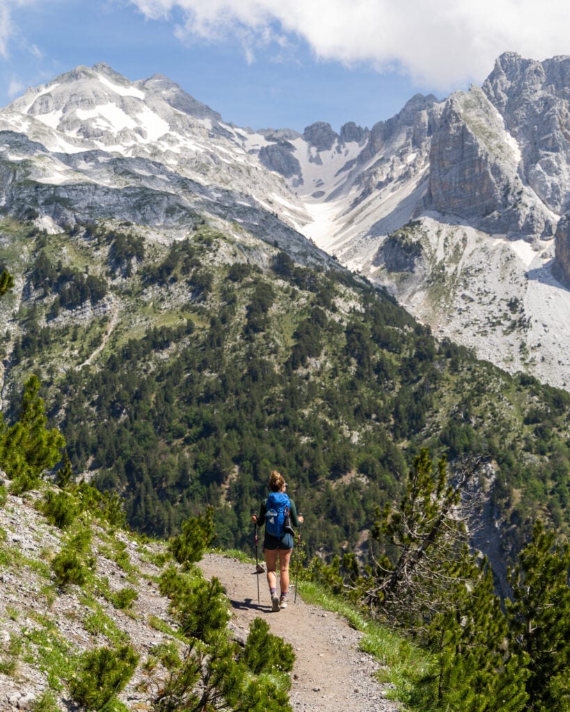
What to expect on the trail
Navigation on Peaks of the Balkans
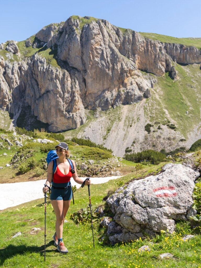
Navigational demands vary considerably throughout the route, but generally speaking, most of the trails in Albania and Montenegro are well maintained, signed with painted trail markings, and fairly easy to follow with only minor support from the GPS. Signs like the one pictured below are quite rare, but for the most part, it’s easy to stay on route.


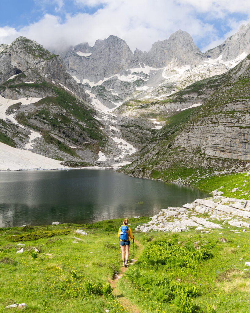
Unfortunately, the same cannot be said for the trails in Kosovo— these were not only faint and overgrown, but also inconsistently or inaccurately marked. I had my eyes glued to the GPS track for nearly every kilometre of Kosovo, and we regularly met hikers who were lost (either completely off-route or following the wrong trail).
Much of this stems from regional developments since Peaks of the Balkans was first established. Many former dirt and gravel roads have since been paved, and the result is haphazard and informal re-routing that seems to confuse everyone. Local guides believe the official route will eventually be updated, but for now, navigation remains unnecessarily complicated.


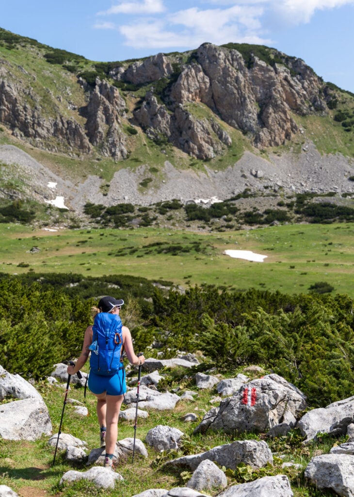
Unlike trails such as the Tour du Mont Blanc or Alta Via 4 where navigation is almost effortless, I’d consider a reliable GPS track (and some basic mountain navigation skills) non-negotiable on Peaks of the Balkans. This is even more vital if you’re following my custom adventure route, which includes several side summits and lesser-travelled trails beyond the official circuit!
>>> Download my crazy-detailed Peaks of the Balkans GPS map for better on-trail navigation!
Terrain & trail conditions
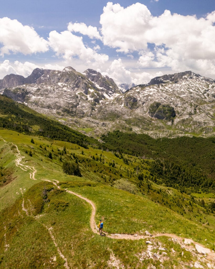
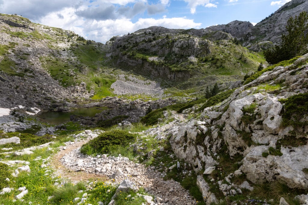
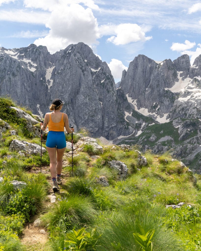
Purely in terms of terrain, Peaks of the Balkans is rather undemanding and beginner-friendly! Most of the classic route follows well-graded dirt trails and rocky footpaths, and nearly every hiker we met was comfortably wearing low-profile trail runners.
There’s a fair bit of hiking on gravel roads or rocky 4WD tracks, which can be a little hard on the feet after long days, but steep scree is surprisingly rare. The only exception would be near the summits of Zla Kolata, Gjeravica, and Maja Bojës, which do have some loose rocks that require careful navigation.
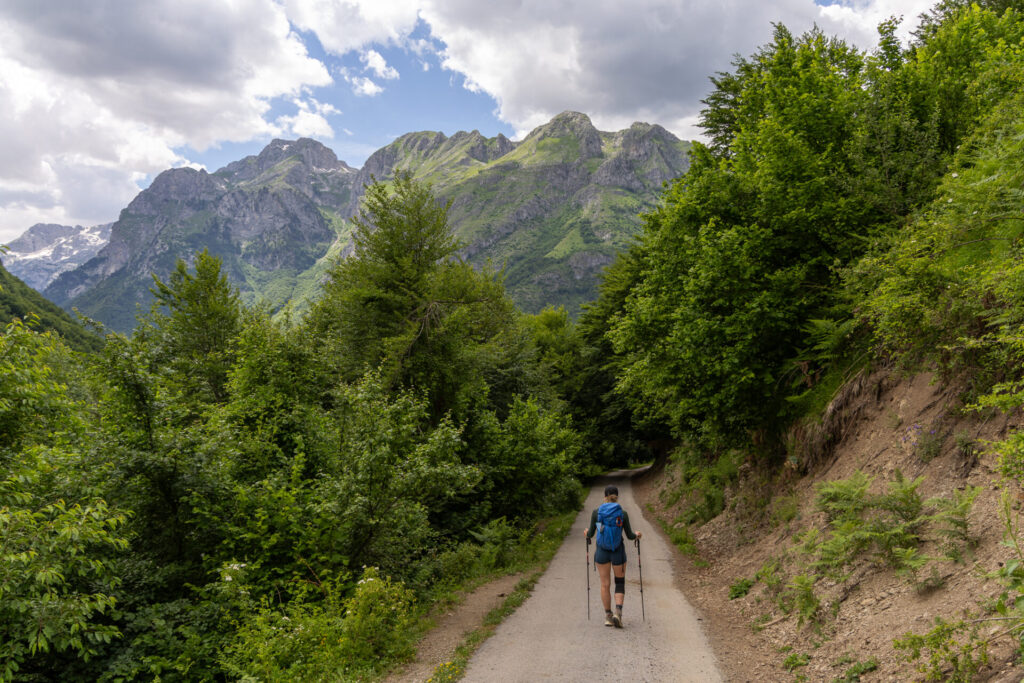
The most annoying part of the “trail”, as previously mentioned, is the increasing number of paved roads. One of my primary goals in designing this adventure itinerary was to maximise time on scenic alpine trails while minimising unnecessary road walking, so I’ve included several worthwhile transfers that eliminate long stretches of asphalt and conserve energy for more rewarding objectives.
Even so, it’s impossible to avoid pavement entirely, and you’ll inevitably spend a few hours walking on roads over the course of the trek.
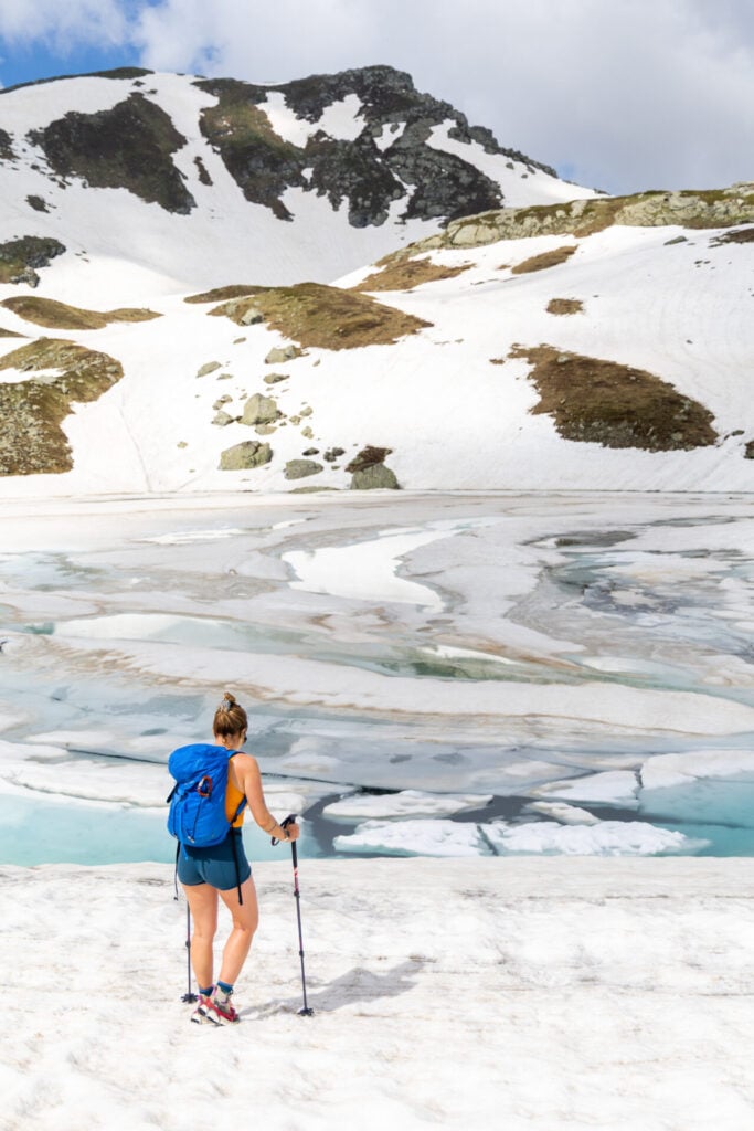
Snow on Peaks of the Balkans
You may notice that an unusual number of our photos feature snow-covered passes, and although snow isn’t typically a concern during the main hiking season, we encountered a LOT of lingering snow in early June that significantly impacted the route.
Microspikes and trekking poles made these sections manageable for us, but I wouldn’t have attempted this adventure route without previous experience travelling on steep snow.
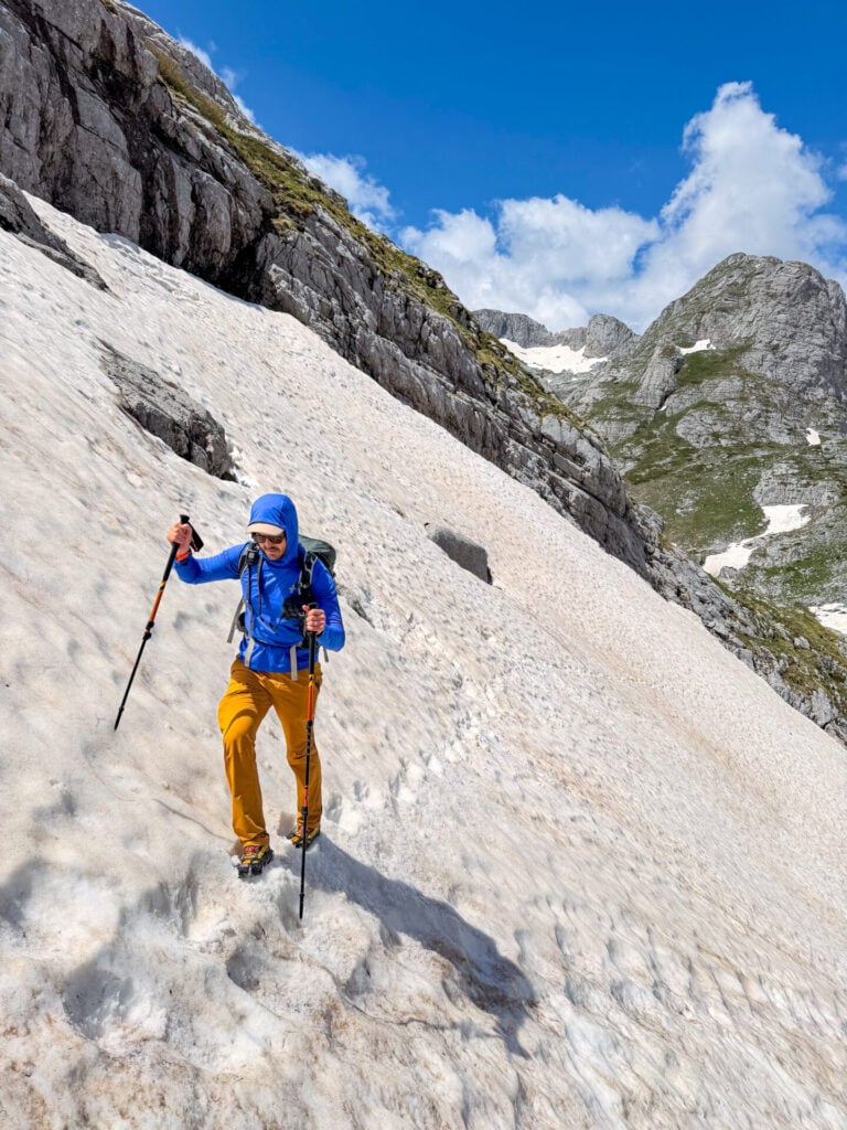
Particularly in the case of Zla Kolata and Gjeravica, about 90% of the route was obscured by snow, which necessitated careful route-finding and technical confidence on steep slopes with dangerous run-outs. Local mountain guides told us this was a record amount of snow for June, and several were shocked to hear that we were able to successfully summit some of these higher peaks in current conditions (since they’d had to turn their groups back).
If you’re hiking in May, early June, late September, or October, it’s essential to be prepared for the possibility of snow. These shoulder-season months are generally better suited to experienced hikers with solid navigation skills and confidence travelling in alpine terrain.
Based on our experience, the following sections of the route hold snow later in the season:
- Montenegro-side of Prosllopit Pass and some of the descent towards Borit Pass (day 1)
- Zla Kolata summit route (day 1)
- Gjeravica summit route (day 3)
- Kosovo-side of Jelenka Pass (day 7)
- couloir on the final 200m to Maja Bojës summit (day 11)
- Valbona-side of Valbona Pass (day 12)— the summer trail remains closed until the snow has melted, so you’ll need to follow the nearby winter trail, which is safer but still involves crossing snow
>>> Adriatik from Gacaferi Guesthouse (+377 44 675 468) is a mountain guide and always happy to provide up-to-date information on snow conditions for the high passes and summits.
Weather on Peaks of the Balkans
Summer weather in the Accursed Mountains is generally excellent for hiking, with warm daytime temperatures hovering around 20-25°C (70-80°F) in the valleys and cooling to 10-18°C (50-65°F) on the higher passes. Even with frequent sunshine, carrying a warm layer is still essential for windy summits and early starts, but I did this entire hike in shorts quite comfortably!
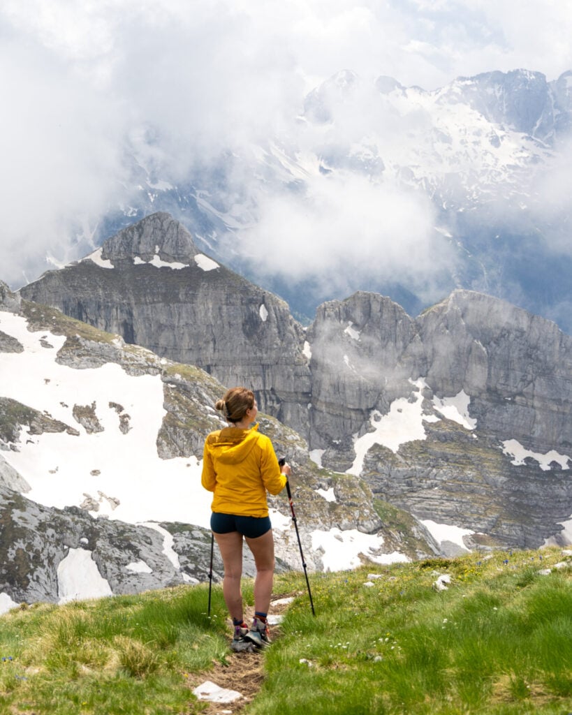
Quickly into our route, we noticed a prevailing weather pattern in the Balkans: clear mornings followed by increasing cloud-cover throughout the day, occasionally developing into afternoon showers or thunderstorms.
The best way to consistently avoid rain is to start hiking early— this meant a few 5am summit days on our trip, but the reward was only needing to wear our rain jackets for a total of 30min during the entire 12-day hike!
We were also happy to find that the weather forecasts in this region proved surprisingly accurate, so if you check the weather each night at the guesthouse, you can decide on a comfortable 8-9am start vs the occasional 5am push depending on potential rain.
Water access
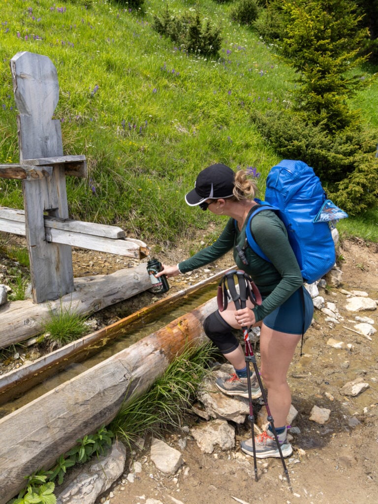
Throughout the Accursed Mountains, water is readily accessible from streams, rivers, lakes, and natural springs located right along the trail. Every guesthouse offers potable water and it’s rare to hike more than a few hours without encountering a wild clean water source where you can refill.


The most notable exception is on Day 1— if you’re following my itinerary via Zla Kolata, there’s no reliable water until after Borit Pass, which is nearly 8hrs from Valbona. Even carrying 5L of water between us, we eventually resorted to melting snow and were pretty parched by the time we finally reached a stream. It might be worth buying an extra water bottle just for this day!
On every other section of the route, we were comfortably able to carry 1-2L each and refill throughout the day. Although we carried a filter, we never used it and didn’t have any issues with the water quality, but do make sure you’re not filling up from stagnant water or rivers in heavy livestock areas. And I’d still recommend carrying a lightweight filter just in case!
Food along the route
One of the best parts of hiking Peaks of the Balkans is that every guesthouse along the trail offers 3 meals a day included in your booking— so there’s no need to carry a full camp kitchen or 12 days’ worth of freeze-dried food!
Breakfast is typically served around 7.30am and consists of fresh bread, butter, jam, cheese, coffee, and often sliced meat or eggs. Before setting off each morning, you’ll prepare your own packed lunch using these same ingredients. I’d still recommend carrying a few of your favourite trail snacks, as bread and cheese is not always sufficient for a big day in the mountains!


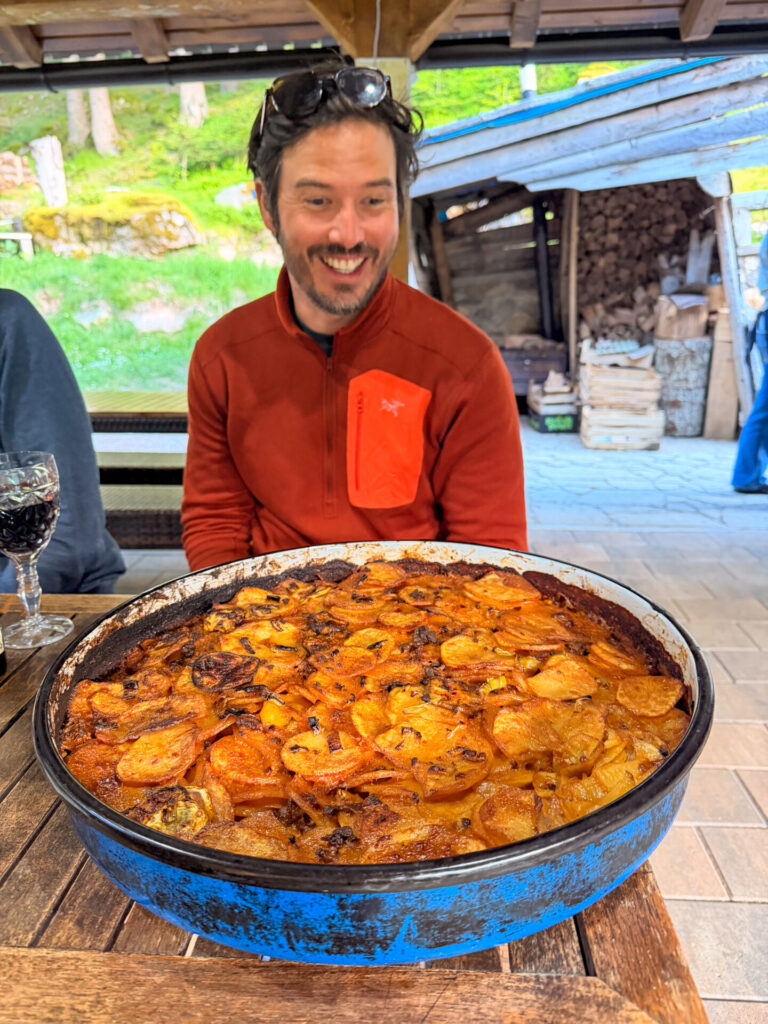
Dinner is the highlight of the day, typically served around 6.30-7pm— a generous spread of homemade Balkan food shared around a communal table, beginning with soup and followed by grilled meats, salads, burek, and other regional specialties.
There are only a handful of opportunities to buy additional food along the trail. If you’re following my itinerary, you’ll find supermarkets, bakeries, and restaurants during the optional detour into Peja (Day 5), several supermarkets and cafés in Plav (Day 8), and the widest selection of restaurants in Theth (Day 11). Between these towns, don’t expect to find anywhere to purchase supplies.
There are also a few days where you can stop into a guesthouse along the trail to purchase hot lunch, notably on the way to Dobërdol (Day 2) and at Rugova Camp (Day 5). It’s good to carry a bit of extra cash for these exciting opportunities!
Mobile reception & wifi access
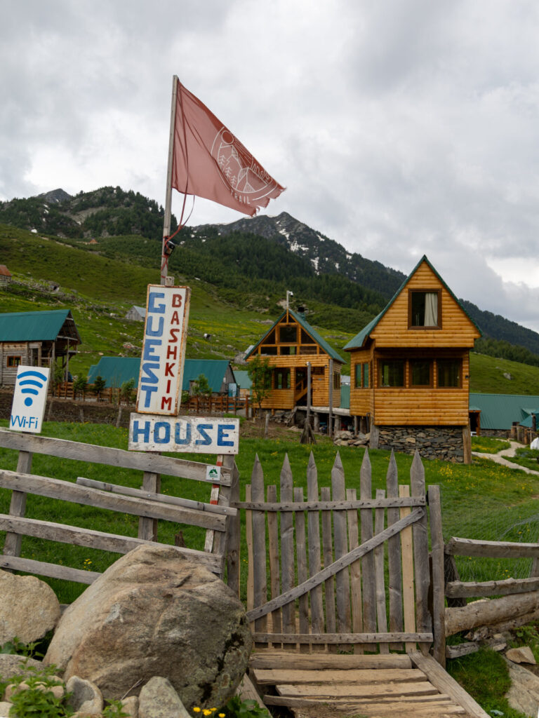
Every single guesthouse we stayed at offered free wifi, and we found it more than sufficient for checking the weather forecast, sending messages, and researching additional route information.
This was particularly helpful because mobile reception is practically non-existent outside Valbona, Plav, Vusanje, and Theth. Even with a local eSIM, I had mobile data for only a small fraction of the trek, but thanks to the consistently reliable guesthouse wifi, this was never a major inconvenience.
Safety on Peaks of the Balkans
There are no specific safety concerns for hiking through the Accursed Mountains, and as a long-time solo female hiker, I’d absolutely recommend Peaks of the Balkans as an excellent choice for solo hikers!
As with any hike through remote terrain, however, it’s important to be prepared for rapidly changing weather conditions (adequate warm layers and rain gear); varied navigational demands (reliable GPS with back-up battery); and emergency situations (SOS device, well-stocked first aid kit, headlamp).
Particularly if you’re following my adventure route (but even on sections of the classic trail), you may spend several hours without encountering another hiker, so you need to be prepared to take care of yourself!
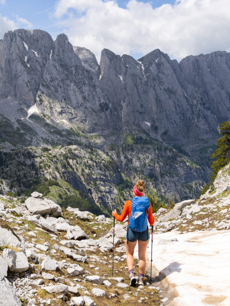
Packing list for the Peaks of the Balkans
Staying in family-run guesthouses and enjoying home-cooked meals, you can keep your pack surprisingly light on Peaks of the Balkans!
Here’s everything we packed for our adventure, from essential hiking layers and safety gear to guesthouse essentials and toiletries, plus exactly what we’d recommend adding and leaving at home based on our experience:
>>> Read my complete Peaks of the Balkans packing list


Read all of my Peaks of the Balkans posts
- start here >>> Peaks of the Balkans hiking guide & 12-day itinerary
- accommodation >>> best guesthouses on Peaks of the Balkans & what to expect
- Day 1: Valbona to Çerem via Prosllopit Pass + Zla Kolata summit
- Day 2: Çerem to Dobërdol
- Day 3: Dobërdol to Gacaferi via Gjeravica summit
- Day 4: Gacaferi to Milishevc via Zavoj Pass
- Day 5: Milishevc to Rekë e Allagës + Via Ferrata Shpellat
- Day 6: Rekë e Allagës to Drelaj via Hajla summit
- Day 7: Drelaj to Babino Polje
- Day 8: Babino Polje to Plav
- Day 9: Plav to Vusanje via Bora Peak
- Day 10: Three Peaks Loop, Prokletije National Park
- Day 11: Vusanje to Theth via Buni Jezercës + Maja Bojës summit
- Day 12: Theth to Valbona
- navigate confidently on & off the trail >>> Peaks of the Balkans GPS map
- essential gear >>> Peaks of the Balkans packing list
